Relative topics
29 results for "mines and mining"

From archive to discovery: historical mineral reports support gold exploration in Scotland
Digitised geological records show potential to unlock untapped mineral resources in Ardlochan, Argyllshire.
Newly released core could hold clues on potential mineral prospectivity in Perthshire
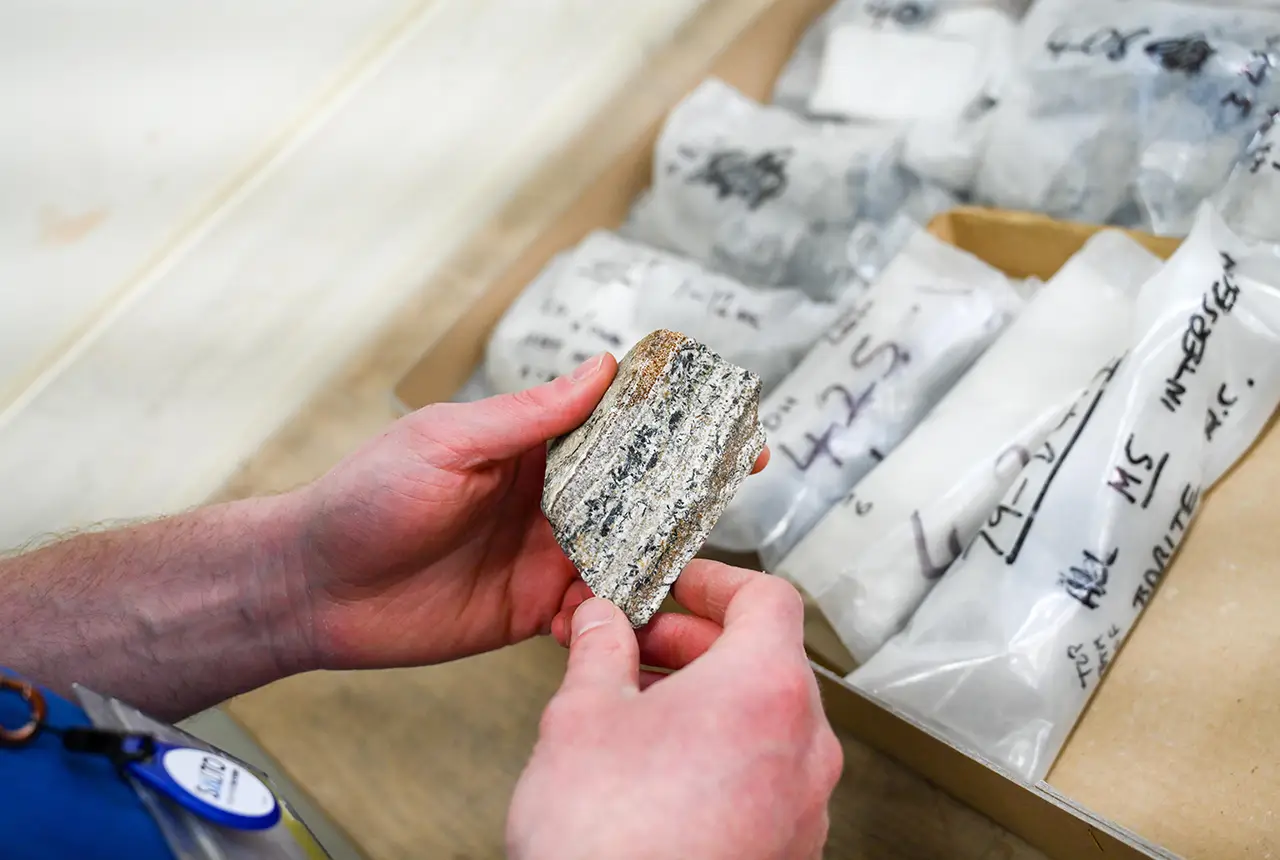
A comprehensive collection of geological samples from the vicinity of a former mine in Scotland is now available to scientists for further research.

BGS contributes to UN sand and sustainability report
The new report highlights the impact of poor governance and unsustainable sand mining practices, calling on policymakers to take action.

Map of BGS BritPits showing the distribution of worked mineral commodities across the country
BGS’s data scientists have generated a summary map of the most commonly extracted mineral commodities by local authority area, demonstrating the diverse nature of British mineral resources.

New 3D model to help mitigate groundwater flooding
BGS has released a 3D geological model of Gateshead to enhance understanding of groundwater and improve the response to flooding.

World Cities Day: the geological story of our cities
Understanding the rocks that underlie our towns and cities, the risks they can present and how they influence urban planning and redevelopment.
BGS artificial ground data: what do you need from a geological survey?
BGS is seeking user feedback on artificial ground data: how you use it, what information you consider, and what we can do to improve our offering.
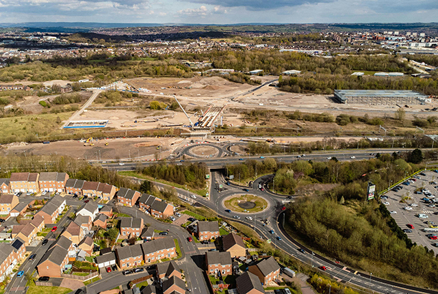
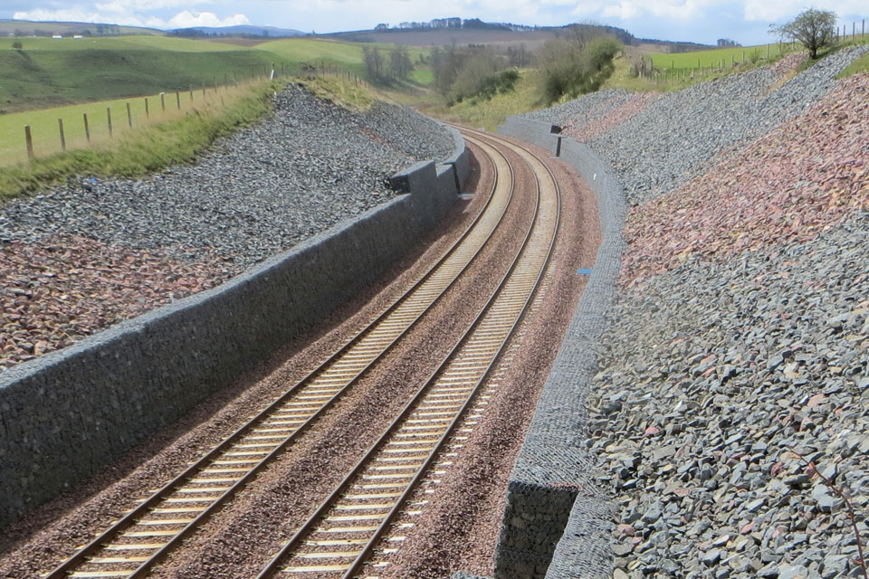
New tool helps identify coal mine gas risk for housing developments in Scotland
Scientists have co-developed a new tool for North Lanarkshire Council to help screen coal mine gas emissions prior to the development of new houses and buildings.