Relative topics
14 results for "earth observation"

Space Geodesy Facility

GSNI project wins multiple awards at RegioStars event
The AGEO project enjoyed a double success at the RegioStars awards, hosted at the European Commission in Brussels.
AI and Earth observation: BGS visits the European Space Agency
The newest artificial intelligence for earth science: how ESA and NASA are using AI to understand our planet.
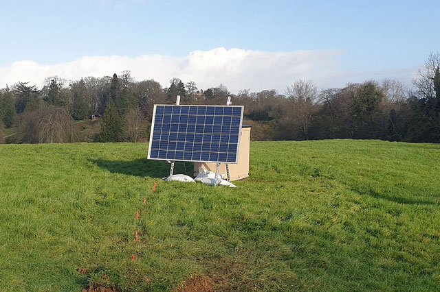
UK’s geomagnetic blind spots tackled with new observatories
Three new geomagnetic observatories have been installed across the UK to fill in the country’s 'blind spots' and tackle the risk posed by space weather.

Using satellite imagery for emergency disaster response
BGS has a long history of assisting relief efforts by providing satellite maps, data and interpretation to those affected by disasters, helping to identify hazardous areas to avoid.
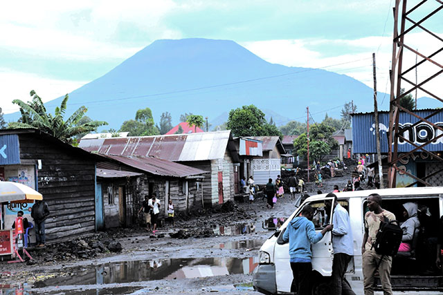
Spaceborne data: an expanding role in disaster response
Alessandro Novellino explains the importance of Earth observation to help facilitate successful emergency responses after natural hazard occurrences.
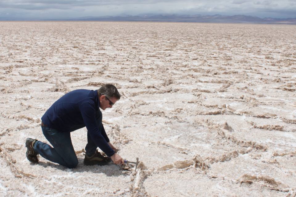
Virtual fieldwork during a global pandemic
Virtual field reconnaissance can help maintain research momentum during the COVID-19 pandemic.
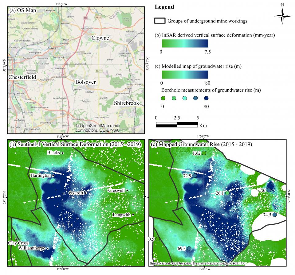
BGS data supports new tool to track geological changes in abandoned coal mines
BGS data supports new tool to track geological changes in abandoned coal mines.