Latest

Delving deep into mountains for future water security
16/07/2026
A BGS-led project is using new water-tracing investigation methods, geophysics and modelling to understand how water moves from mountains to the lowlands, helping to improve water security for billions of people.

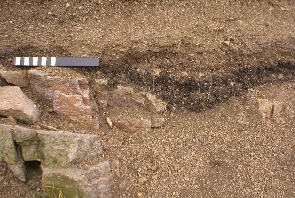
Updated national 3D model will determine the depth to the solid bedrock beneath our feet
13/07/2026
The BGS Superficial Deposit Thickness Model now includes an elevation model of geological rockhead for the first time, providing important data for civil engineers, geoscientists and environmental scientists.


Collecting beach pebbles: fun hobby but is it legal?
14/07/2026
The UK coastline will be inundated with keen holidaymakers this summer, many of whom will take a memento of their trip home in the shape of a pebble or two — but is it legal?
Explore more news
Browse all news and events by category
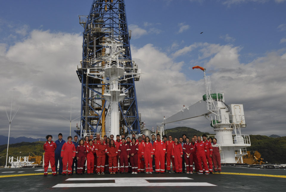
BGS scientists on board research vessel in Japan in major marine research collaboration
25/11/2022
Experts from BGS's marine team are part of a major international marine research collaboration to understand more about earthquakes associated with the Japan Trench.
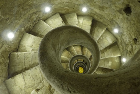
Building underneath the Colosseum: the importance of urban geology
21/11/2022
Tim Kearsey reports on his underground excursion around Rome.
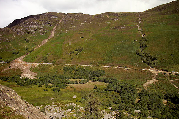
Introducing the BGS Debris Flow Susceptibility Model for Great Britain
21/11/2022
Debris flows are a landslide hazard of particular concern to transport infrastructure managers and local authorities.
BGS Strategy: public consultation
18/11/2022
We would welcome responses from anyone interested or involved in the geosciences as part of the wider consultation on our new BGS Strategy
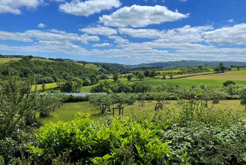
BGS supports development of a local land-use framework for Devon
10/11/2022
The framework will help to identify data improvements to support more joined-up decision making about land use in Devon.
Understanding long-term burial of organic carbon deposits
07/11/2022
Carbon sequestration is one method of reducing the amount of carbon dioxide in the atmosphere, by capturing and storing it, contributing to climate change reduction.
Spooky geology
31/10/2022
Explore thirteen of our favourite spooky geological hotspots around the UK.
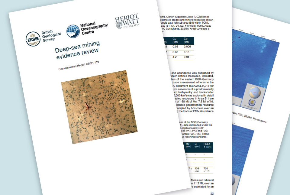
Deep-sea mining evidence review published
31/10/2022
The deep-sea mining independent evidence review report was commissioned by the UK Government to inform its policy in relation to deep-sea mining.