Latest
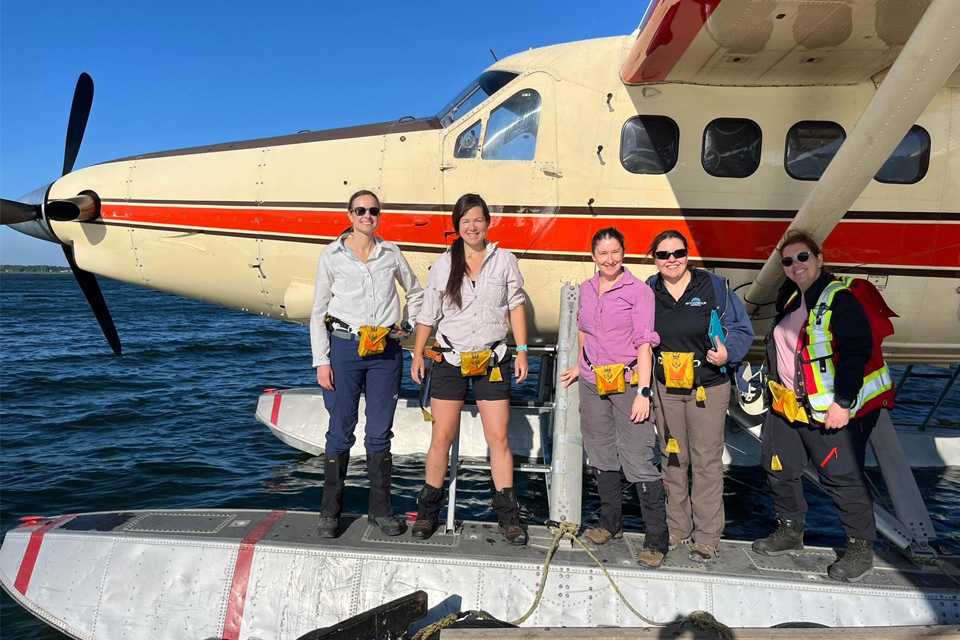
Funding awarded to UK/Canadian critical mineral research projects
08/07/2025
BGS is part of a groundbreaking science partnership aiming to improve critical minerals mining and supply chains.
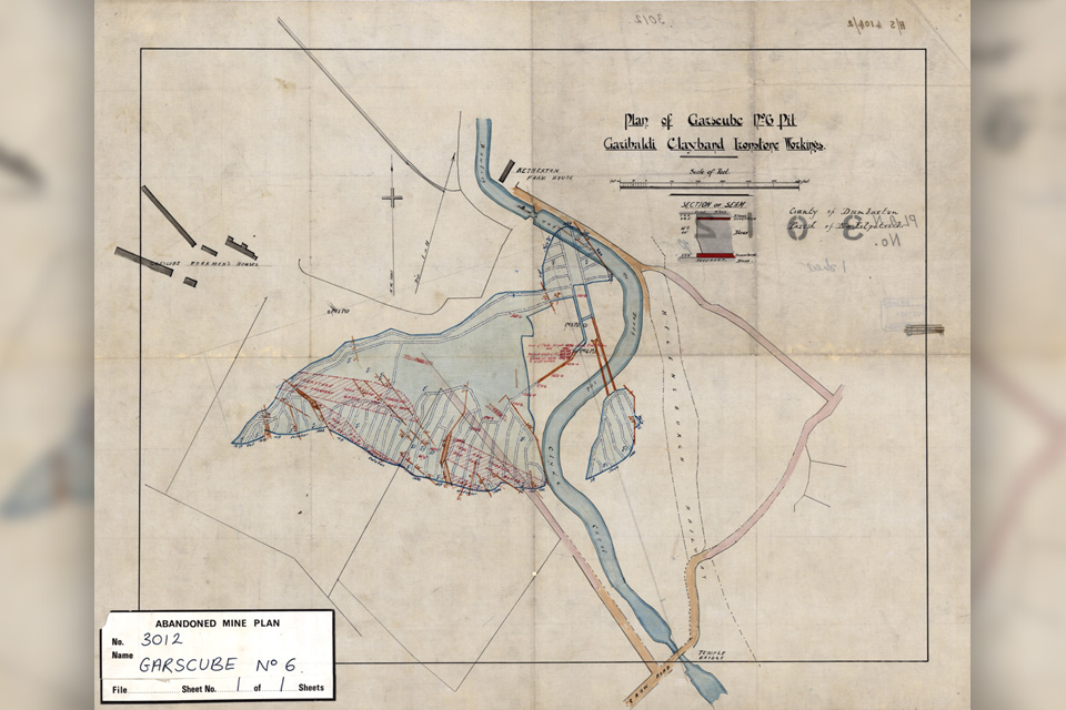
Release of over 500 Scottish abandoned-mine plans
24/06/2025
The historical plans cover non-coal mines that were abandoned pre-1980 and are available through BGS's plans viewer.
AI and Earth observation: BGS visits the European Space Agency
02/07/2025
The newest artificial intelligence for earth science: how ESA and NASA are using AI to understand our planet.
Explore more news
Browse all news and events by category
Industry-leading data sharing partnership announced
02/11/2023
A data sharing partnership has been agreed between BGS and Ossian, allowing BGS to advance its knowledge of the rock and soil conditions under the seabed.
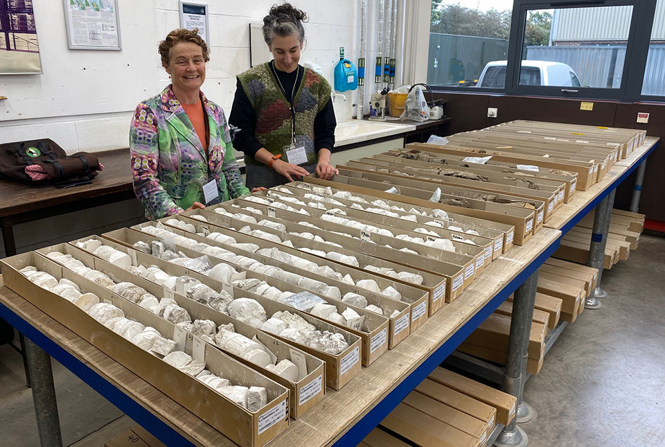
The art of boreholes: Essex artists visit the BGS to be inspired by our library of geological core
02/11/2023
Two UK-based artists visitors aim to turn art and earth science into a collaborative experience that facilitates discussion on land usage.
New method developed to identify wetland inhabitants
01/11/2023
BGS-led research has helped develop a method to identify ancient human and animal wetland inhabitants.
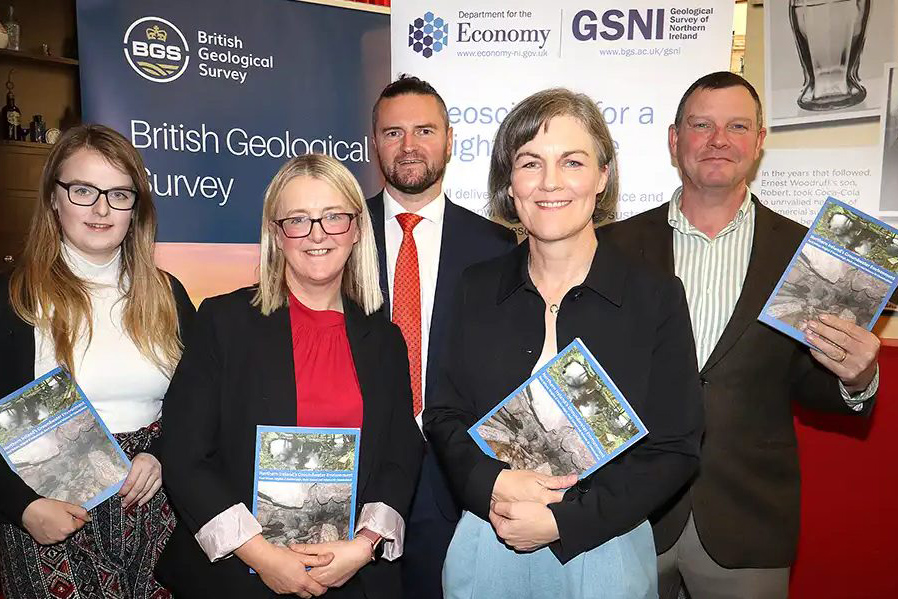
New book launched on groundwater in Northern Ireland
30/10/2023
BGS and the Geological Survey of Northern Ireland (GSNI) have launched a new book and map on Northern Ireland’s groundwater.
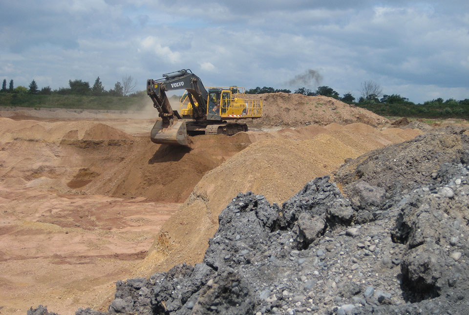
Good practice for sand mining
24/10/2023
Tom Bide and Clive Mitchell outline how BGS is working on geoscience-led solutions for the global issue of sand mining.
Dr Gavin Mudd appointed director of the UK Critical Minerals Intelligence Centre
19/10/2023
Dr Gavin Mudd brings with him expertise in sustainable mining, environmental impacts and management of mine waste.
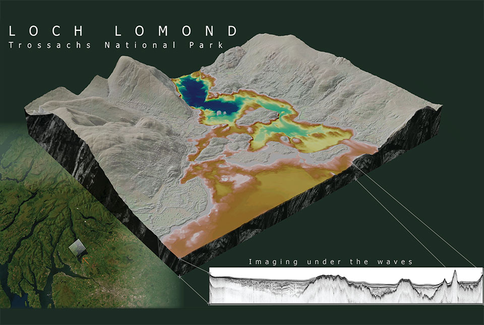
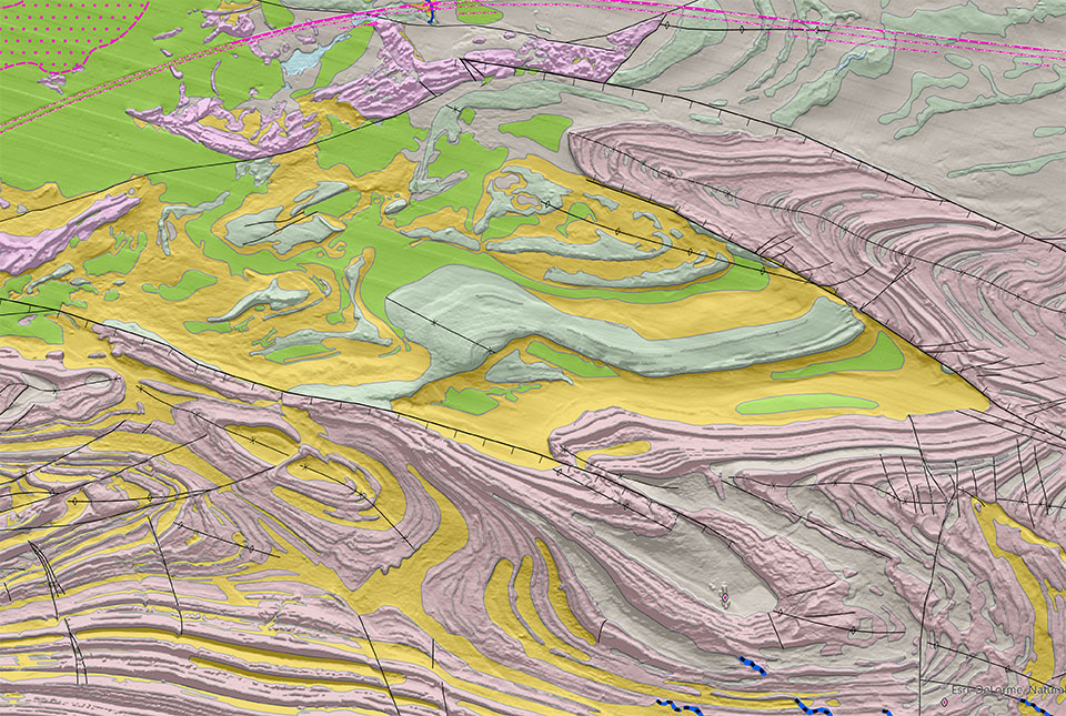
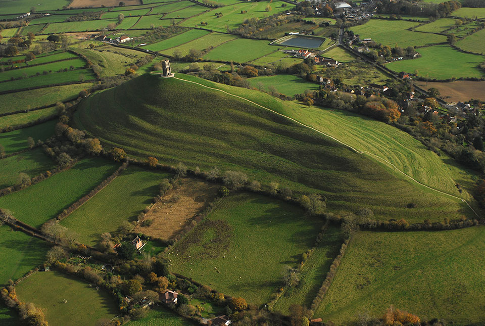
What lies beneath Loch Lomond?
17/10/2023
BGS geoscientists have visualised what lies beneath the waves of Loch Lomond, revealing an image of the loch bed and various sedimentary features of the subsurface.
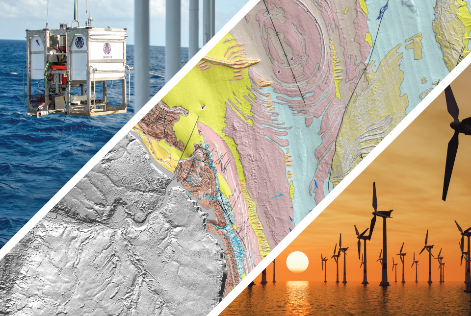
Geology beneath the waves: developing maps and models of the sea floor
Event on 23/11/2023
A special webinar focusing on our cutting-edge sea floor mapping research and an exciting new project exploring the deepest reaches of the world's oceans. A recording is now available.