

New book launched on groundwater in Northern Ireland
BGS and the Geological Survey of Northern Ireland (GSNI) have launched a new book and map on Northern Ireland’s groundwater.
30/10/2023 By BGS Press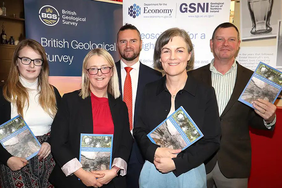

On 18 October 2023, the Geological Survey of Northern Ireland (GSNI) launched a new book and digital aquifer map, ‘Northern Ireland’s Groundwater Environment’, alongside BGS.
Groundwater is the water that is present beneath the land surface in pore spaces and fractures in rock. The book presents a regional overview of the current understanding of Northern Ireland’s groundwater environment, hydrogeology and groundwater resources.
A new digital aquifer map of Northern Ireland has also been released alongside the book. The map contains 11 different aquifers (bodies of groundwater); each aquifer has different characteristics such as how groundwater flows through it and the groundwater chemistry.

It’s wonderful to finally launch this book and map. Northern Ireland has some excellent groundwater resources that we get to showcase in the book and map, which will continue to support our society and economy. We anticipate that these products will support a new wave of groundwater development that will benefit Northern Ireland and the UK.
Paul Wilson, BGS Hydrogeologist.
BGS Hydrogeologist Paul Wilson and Brighid Ó Dochartaigh, BGS Senior Hydrogeologist, co-wrote the book with Dr Mark Cooper, GSNI Chief Geologist, and Rebecca Ní Chonchubhair, GSNI Hydrogeologist.
The book aims to help stimulate further interest in groundwater as a critical natural resource that used for public and private water supply. It also provides support for further development of groundwater resources in Northern Ireland, including new groundwater and geothermal energy supplies, and improved hydrogeological risk and environmental impact assessments for new developments.
Relative topics
Related news

New project mapping UK Continental Shelf provides boost to offshore infrastructure and development
22/10/2026
BGS is leading a three-year project funded by The Crown Estate to develop a new suite of seabed geology datasets and reports, providing crucial information for offshore developers about the seabed around the UK.
BGS one of the UK’s first specialist research institutes to receive Race Equality award
20/10/2026
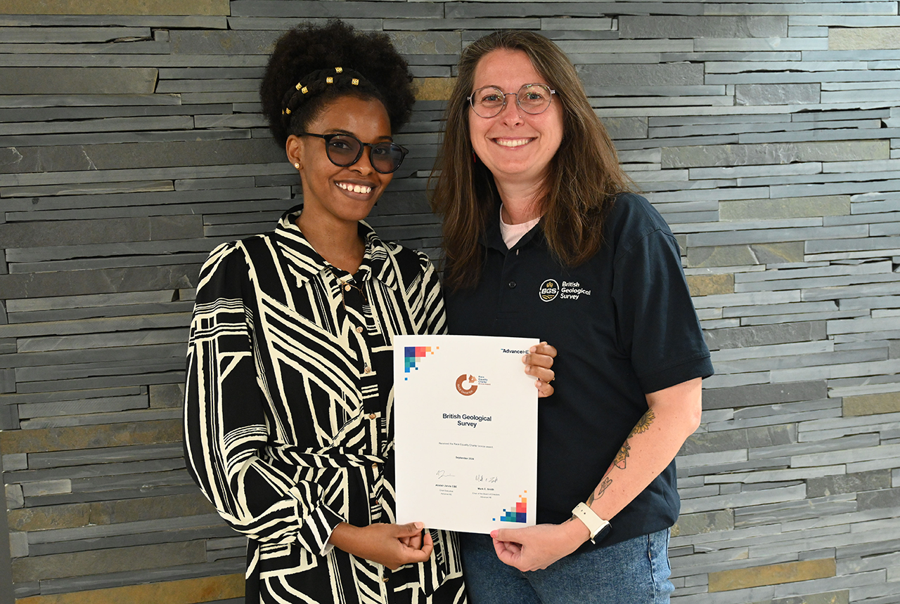
BGS has secured Bronze accreditation under the Advance HE Race Equality Charter framework, recognising its commitment to identifying and addressing race equality issues in the geosciences.
British and French geological surveys strengthen collaboration through new agreement
14/10/2026
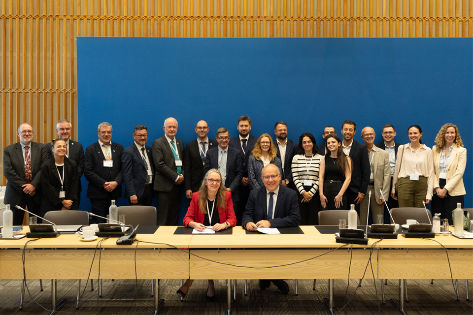
Two of Europe’s leading geological surveys have signed a Memorandum of Understanding to strengthen collaboration on key geoscientific challenges.
Historic watercolour unearthed on back of Dryburgh geological field map
05/10/2026
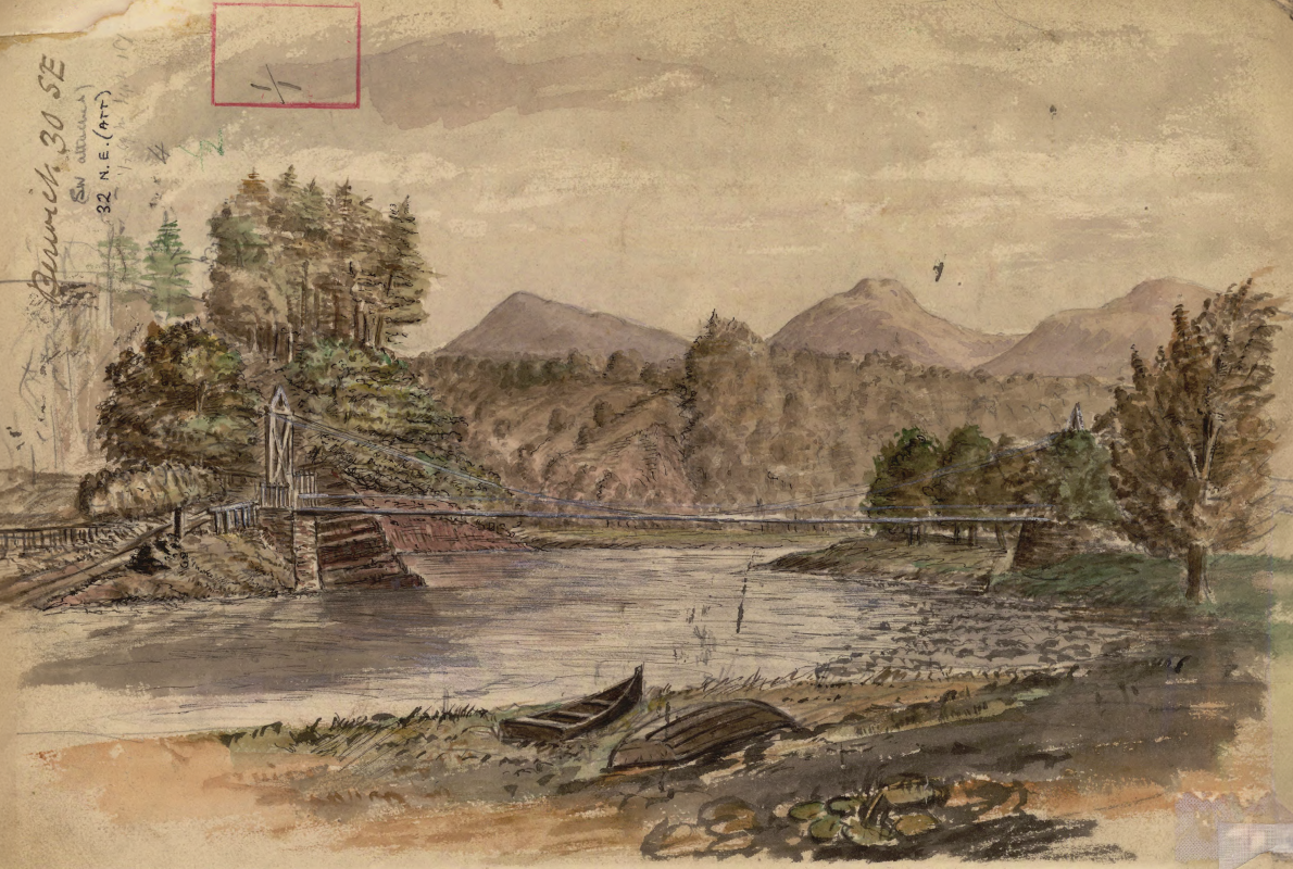
A 150-year-old painting of Dryburgh Suspension Bridge and the River Tweed offers an insight into the Scottish Borders landmark shortly after it was built in the 1870s.
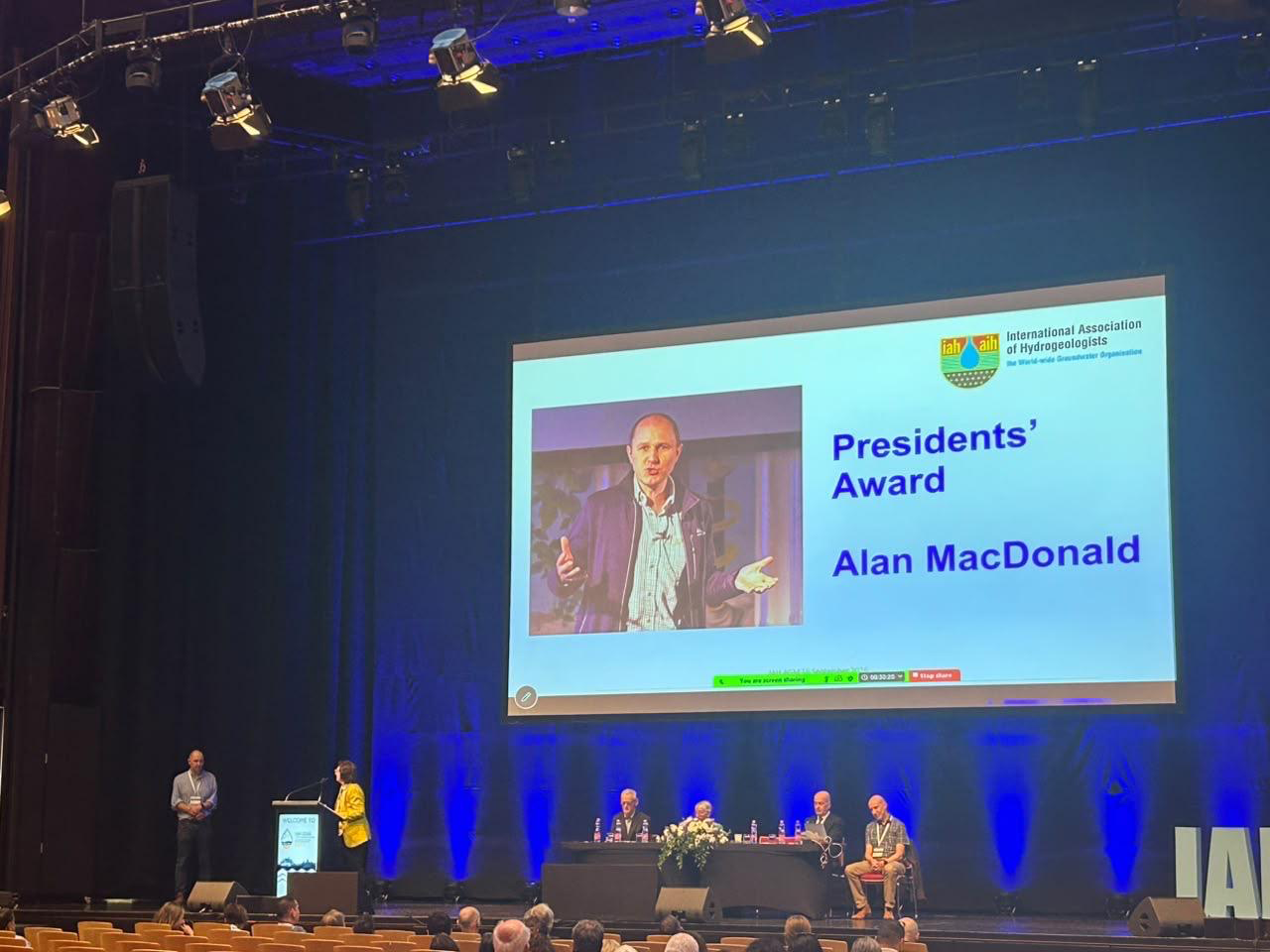
Professor Alan MacDonald presented with Presidents’ Award at 2026 World Groundwater Congress
21/09/2026
The BGS Head of Groundwater has been recognised with this prestigious award by the International Association of Hydrogeologists for his extensive contributions to groundwater science.
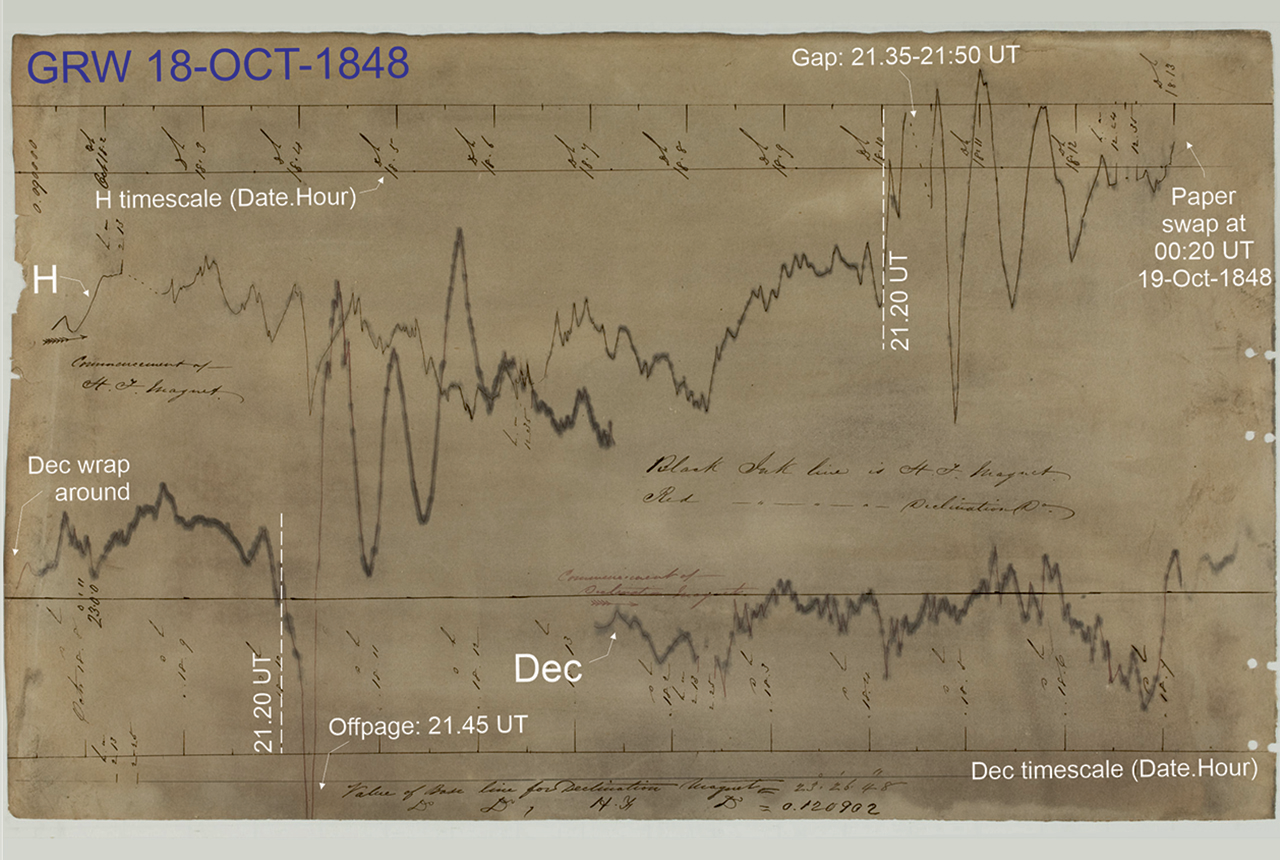
Mystery of one of the earliest recorded space weather impacts solved
17/09/2026
BGS scientists were part of an international team that has solved a 178-year-old mystery surrounding one of the earliest recorded examples of space weather affecting technology.

The Lyell Centre celebrates 10 years of world-leading earth and marine science research
07/09/2026
The Lyell Centre for Earth and Marine Sciences, a strategic partnership between Heriot-Watt University and BGS, is celebrating its 10th anniversary, marking a decade of world-leading research, innovation and collaboration in earth and marine sciences.

Demand for data centres presents challenges and opportunities for UK critical mineral supply chains
02/09/2026
Government-backed research finds that vulnerabilities in raw material supply chains must be addressed to secure the critical minerals needed to expand the UK’s digital infrastructure and boost economic growth.

What lies beneath Europe’s sinking ground?
01/09/2026
Land subsidence is becoming increasingly visible across Europe. New research examines how better monitoring, shared data and a deeper understanding of the subsurface can help assess and manage its impacts.

Secrets of an ancient supervolcano uncovered that change our understanding of England’s geological past
28/08/2026
Scientists have found evidence of a long-hidden link between an ancient buried ash layer in Scandinavia and a concealed supervolcano in eastern England.
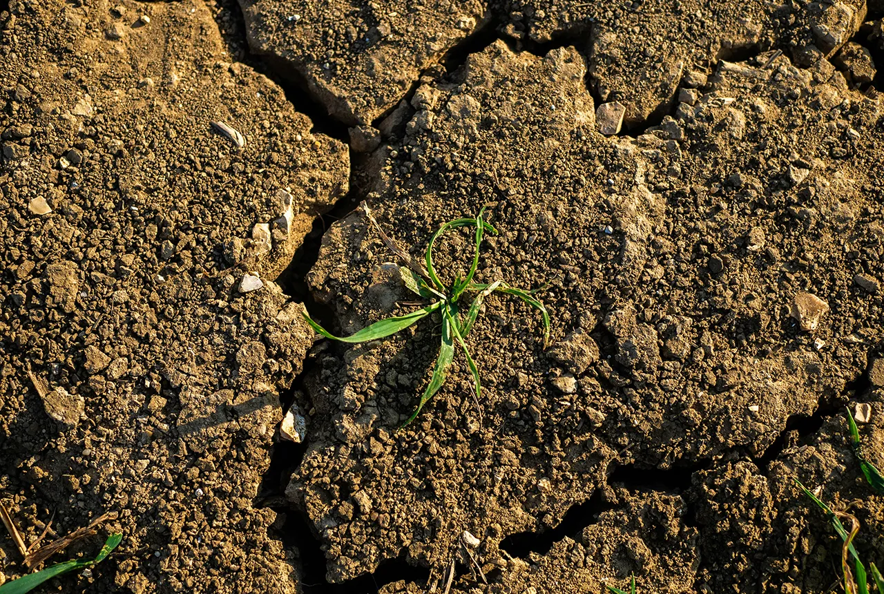
BGS research into drought-exposed soils wins award
26/08/2026
A research paper investigating how temperate soils respond to drought has been announced as the winner of the Land Best Paper Award.
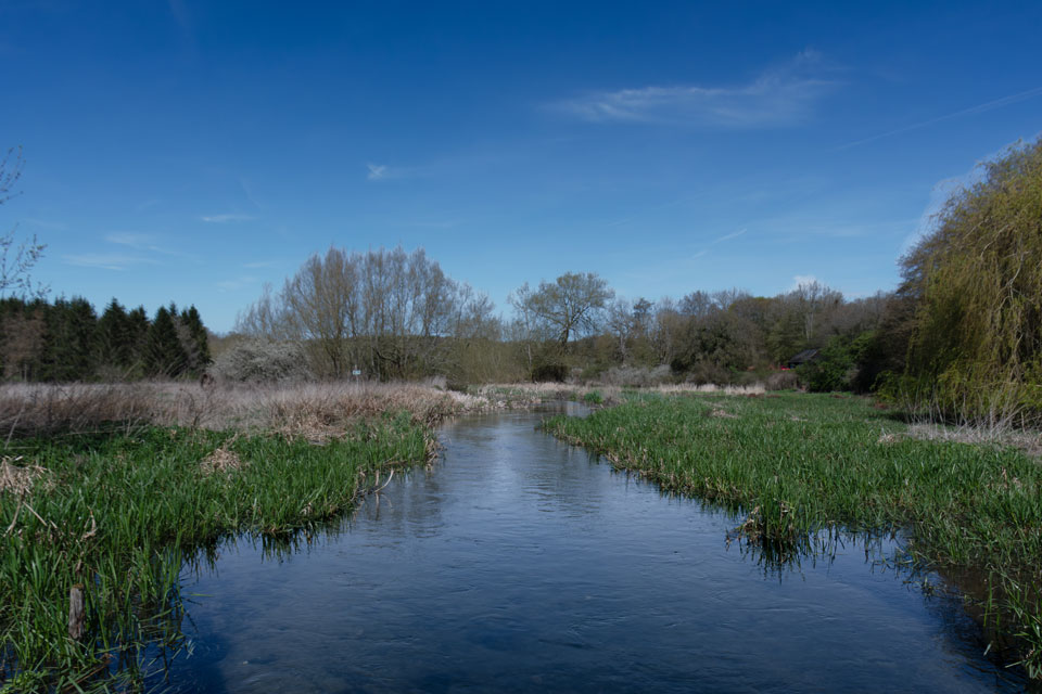
UK aquifers robust despite driest July on record
16/08/2026
In a summer experiencing widespread drought, groundwater levels around the country are showing resilience, demonstrating their value as a crucial resource and indicating they could play a more significant role in mitigating the impacts of extreme weather.