The Kahraman Maraş earthquake sequence, Turkey/Syria, 2023
Two large earthquakes occurred within hours of each other on 6 February 2023.
14/02/2023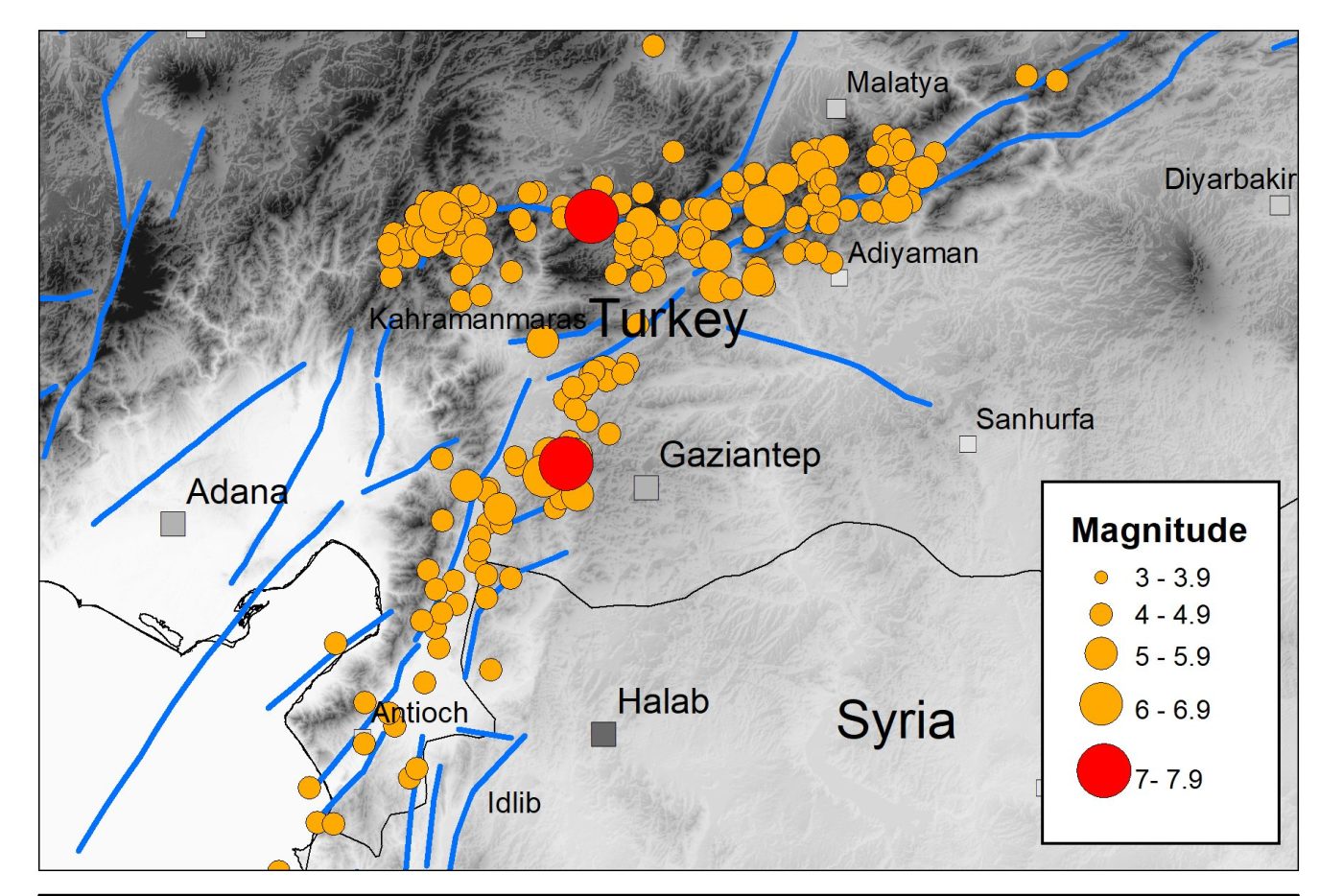

The devastating Kahraman Maraş earthquake sequence has caused widespread destruction and terrible loss of life across a large part of southern Turkey and northern Syria, with the collapse of thousands of buildings in populated areas throughout the region.
The earthquake sequence
The sequence started with a magnitude 7.8 earthquake at 01:17 UTC on 6 February 2023, rupturing a 200 km section of the north-east to south-west trending fault system that forms the boundary between the Anatolian and the Arabian tectonic plates. These plates are moving horizontally relative to each other at a speed of around 13 mm per year.
The earthquake took about 30 seconds to reach a maximum slip of around 3 m and resulted in intense shaking that lasted over a minute. Recorded ground accelerations at some sites close to the fault rupture exceeded 1.0 g. A few hours later, a magnitude 7.5 event occurred on a nearby branch of the fault system that trends east to west. This caused further strong ground shaking and destruction.
Previous seismicity in the area
The magnitude 7.8 earthquake was approximately 2.5 times bigger than the magnitude 7.4 Izmit earthquake in Turkey in 1999, which killed over 17 000 people, and was the same size as the magnitude 7.8 Erzincan earthquake in north-east Turkey in 1939, which killed over 32 000 people. The latter is considered the deadliest natural disaster in Turkey in the 20th century.
Although the earthquake risk in this part of southern Turkey was generally considered to be less than along the well-known Northern Anatolian Fault in northern Turkey, large and damaging earthquakes have struck here in the past. The city of Aleppo in northern Syria has been destroyed by several earthquakes in the last thousand years, including an earthquake in 1822 with over 20 000 fatalities.
The continuing hazard
Aftershocks are expected to cause moderate to severe ground shaking over a 300 to 500 km region for months to come. Some of these earthquakes may be several hundred kilometres away from other aftershocks and may be large enough to cause further damage, particularly to buildings that have already been weakened.
There have already been several aftershocks with a magnitude larger than 6.0. Our current understanding of the statistics of the aftershock process suggests that there may be several tens of earthquakes of this size or greater.
Over a period of months to years, the frequency of triggered seismicity (aftershocks) will reduce, with earthquake activity gradually returning to previous levels. Until then, earthquake hazard and risk in the region will remain heightened. This means that increased seismic hazard in the region where the two large earthquakes occurred is transient in nature, whilst longer seismic hazard estimates continue to be relevant.
Earthquake cascades
It is well established that large earthquakes can trigger seismicity on other nearby faults as the Earth’s Crust adjusts to the sudden change in stress. Both the permanent deformation caused by the initial earthquake and the passage of seismic waves through the Earth can trigger these subsequent earthquakes.
Other recent examples of this triggering process include the Kumamoto sequence on the island of Kyushu, Japan, in 2016, when a magnitude 6.5 earthquake was followed almost a day later by a magnitude 7.3 event. In Europe, the magnitude 6.0 Amatrice earthquake that occurred in Italy in 2016 was followed by the magnitude 6.5 Norcia earthquake two months later.
Although such cascading sequences of large-magnitude earthquake within short periods of time are relatively rare, investigation and analysis of these may promote a new understanding of the earthquake process.
Further information
About the authors

Dr Brian Baptie
Seismologist
Dr Margarita Segou
Earthquake seismologist
Relative topics
Related news

Latest research emphasises climate-related subsidence risk to millions of British homes
11/06/2026
New data from BGS highlights the projected future impact of warmer, drier summers and underlines the need for mitigation measures in susceptible regions.

Ukraine and the UK strengthen their commitment to geological cooperation
10/06/2026
A new Memorandum of Understanding reaffirms the UK’s support of Ukraine’s ambitions to develop its critical mineral resources, paving the way for collaboration through capacity-building programmes.
Newly released core could hold clues on potential mineral prospectivity in Perthshire
05/06/2026
A comprehensive collection of geological samples from the vicinity of a former mine in Scotland is now available to scientists for further research.
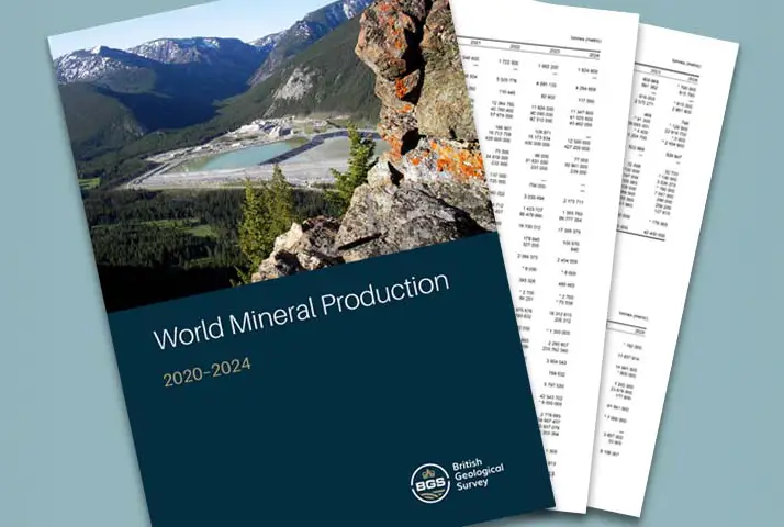
Latest data on world mineral production now available
25/05/2026
BGS has released the updated statistics on the global production of over 70 commodities between 2020 and 2024.

International science consortium to survey the health, economic value and social importance of Lake Victoria
22/05/2026
The project will replicate the 1927 survey to assess changes in the lake’s health, economic value and social importance.

New geological maps of Berwick-upon-Tweed to help future-proof natural water supply
20/05/2026
Scientists have mapped the geology under the town to better understand the groundwater system to inform decisions around abstraction.

BGS contributes to UN sand and sustainability report
19/05/2026
The new report highlights the impact of poor governance and unsustainable sand mining practices, calling on policymakers to take action.
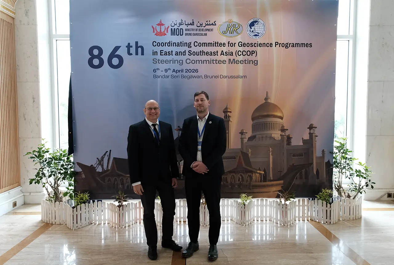
BGS engineering geologist elected to CCOP
29/04/2026
Marcus Dobbs has been elected as vice-chair of the advisory group for the Coordinating Committee for Geoscience Programmes in East and Southeast Asia.
UK Minerals Yearbook 2025 now available
21/04/2026
The annual publication provides essential information about the production, consumption and trade of UK minerals up to 2025.

UK scientists unite for seabed mapping survey of the UK’s south-west coastline
15/04/2026
BGS geologists join research voyage, gathering crucial geological data to support offshore energy and infrastructure projects.

Isotopes and science: my student placement at BGS
08/04/2026
Industrial placements at BGS for undergraduate students give real-life experience of working in laboratories and learning different analytical techniques.

Updated geological assessment of the Southern North Sea set to underpin future offshore infrastructure development
25/03/2026
The first regional assessment for 30 years will support offshore marine and subsurface planning for the UK’s low-carbon energy infrastructure, including the 2030 target of 45 to 50 GW generated through offshore wind.