Building with nature and geology to protect against flooding
Discover how BGS is working alongside partners to investigate the effectiveness of natural flood management initiatives and mitigate the threat of flooding.
30/04/2021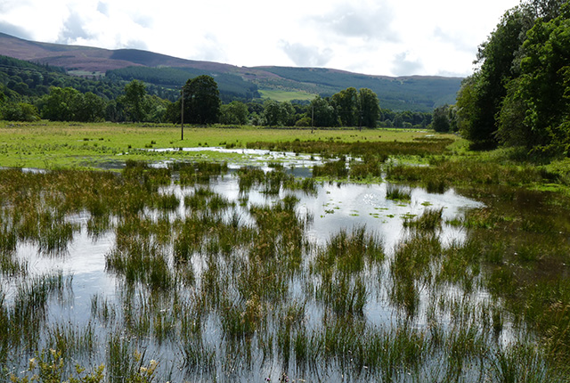

Beaver dams instead of concrete dams, re-meandering instead of dredging, floodplain parks and wetlands instead of concrete flood walls — who wouldn’t want to build with nature? For many years we have been doing just the opposite, fighting against the environment, attempting to conquer nature. The ecological impacts of these ‘hard engineering’ solutions are many, from trapping sediment and disrupting fish migrations to starving wetlands of water, turning them from greenhouse gas sinks into greenhouse gas sources.
Flooding and climate change
The aim of flood risk management is to protect people and property from the devastating impact of flooding. While a concrete wall may not add to the aesthetics or ecology of a river bank, it is usually a very effective means of achieving this aim. We need effective solutions because the risk of flooding is increasing in the UK, as the climate becomes wetter. In England and Wales, one study found that climate change has increased the risk of floods by at least 20 per cent and possibly by as much as 90 per cent. The latest Met Office climate projections show that winters will continue to become wetter in the UK throughout the 21st century.
Natural flood risk management
The UK’s river landscapes bear little resemblance to natural landscapes. We have created hard surfaces perfect for rapid runoff, built homes and roads on floodplains and straightened, dredged and built embankments on rivers, speeding up river flow, reducing infiltration and exacerbating downstream flooding. Natural flood risk management (NFM) aims to reduce flood risk by slowing the flow of water through the landscape. Native woodland, retention ponds and woody debris dams will all help to provide storage for water in the headwaters and, lower down in the catchment, floodplains will be restored. In doing so, NFM re-establishes the natural functions of river catchments, providing habitat for a diverse wildlife. It sounds perfect, doesn’t it? There is just one caveat — we are not sure how well it actually works.
An example of natural flood management slowing the flow of water through the landscape. Source: Leo Peskett.
There are now over 90 NFM projects in the UK, with around 15 active schemes. There have also been developments in policy to aid the implementation of NFM, such as SEPA’s production of an NFM handbook in 2016 and Defra’s 2017 review of the evidence base and production of guidance. Despite the increase in NFM implementation, monitoring and quantitative assessment of schemes remains low and evidence of effectiveness is still limited. However, investment in scientific research on NFM is on the rise and with it we expect find out what types of NFM work best and where.
BGS and flooding
Why is BGS interested in surface water flooding? What does NFM have to do with geology? BGS’s work on monitoring the effectiveness of NFM has focused on two areas: the Eddleston catchment of the River Tweed and the West Thames.
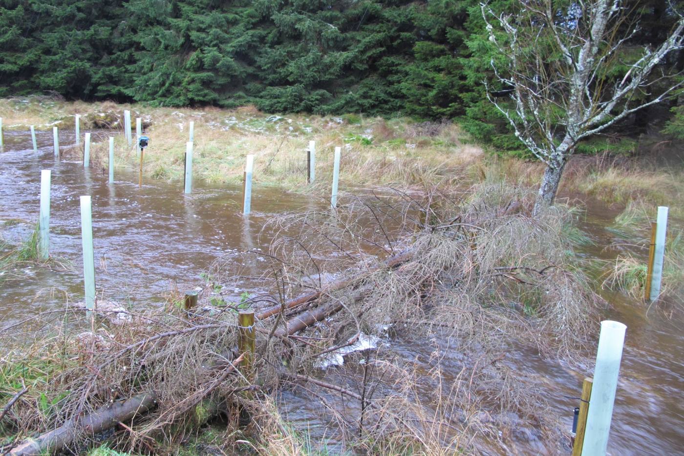
Flooding along Eddleston Water. BGS © UKRI
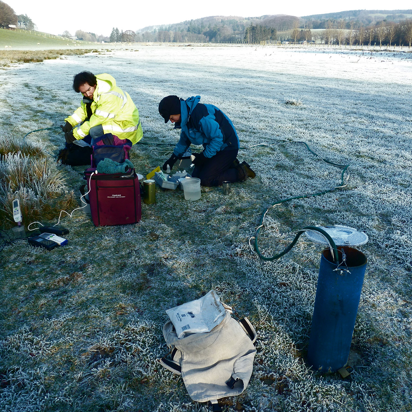
Members of the BGS groundwater team chemical sampling along Eddleston Water. BGS © UKRI

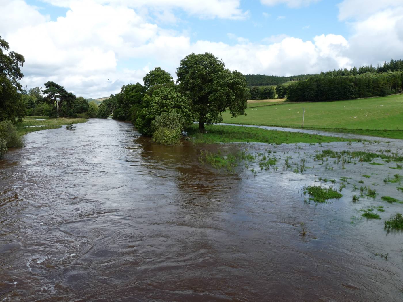
Many of the UK’s river landscapes, like the River Taff in Wales, bear little resemblance to natural landscapes. BGS © UKRI
Eddleston
The Eddleston catchment is one of the most intensively monitored NFM observatories in the UK and BGS has been involved with the project since its inception. So far, we have found that:
- older and mixed woodland can absorb water a lot more quickly than plantation woodland
- narrow forest strips planted to prevent rapid hillslope runoff provide little subsurface storage during flood events
- understanding geology provides key insights into the hydrological behaviour of floodplains
Most recently, and perhaps most importantly, we have found that geology and soil type have a greater influence on rapid surface runoff than plantation forest cover.
West Thames
In the West Thames, BGS is working with the University of Reading and JBA Consulting, among other partners, to investigate the effectiveness of NFM in lowland permeable (chalk and limestone) catchments. We are studying measures such as crop choice, tillage practices and tree planting for their ability to increase evaporation and infiltration of water into chalk and limestone aquifers. The hope is that, by increasing infiltration, surface runoff and flood risk are reduced.
BGS’s role
But this water that infiltrates into the ground does not simply disappear. It is BGS’s job to understand what happens to this water once it has entered the bedrock: could groundwater levels rise, increasing the risk of groundwater flooding? Inversely, an increase in evaporation could lead to falling groundwater levels and water shortage in chalk aquifers, a major drinking water source in southeast England.
The move towards NFM seems like an obvious choice, given the co-benefits provided for wildlife and the problems associated with traditional flood measures. However, it is imperative that these schemes continue to be monitored and assessed for their effectiveness to make sure that their primary purpose — the protection of people and property from the economic and societal impact of flooding — is met.
And what does geology have to do with NFM? We need to ensure we are planting the right species of tree on the most suitable underlying geology.
About the author

Sarah Collins
Groundwater modeller
Relative topics
Latest blogs

Building Europe’s geological future
20/07/2026
BGS scientists are contributing to a continent-wide initiative that is strengthening collaboration across borders to tackle shared subsurface challenges and unlock new opportunities.

Collecting beach pebbles: fun hobby but is it legal?
14/07/2026
The UK coastline will be inundated with keen holidaymakers this summer, many of whom will take a memento of their trip home in the shape of a pebble or two — but is it legal?

Strengthening capacity through partnership: a critical minerals perspective
28/04/2026
BGS has been working in partnership with the Geological Survey Department of Zambia (GSD) to build national capacity, improve data accessibility and support long-term, sustainable development.

PhD adventures in Copenhagen, Denmark: revealing past recovery processes of tropical forest systems through ancient environmental DNA
12/03/2026
PhD student Chris Bengt visited the University of Copenhagen to carry out very delicate extraction of aeDNA from lake-sediment cores, in the hopes of unlocking the secrets of past volcanic eruptions.

MARC Conference 2025: highlighting the importance of conferences to PhD students
16/02/2026
BGS and University of Nottingham PhD student Paulina Baranowska shares her experience presenting her research on nuclear forensics at her first international conference.

Hole-y c*@p! How bat excrement is sculpting Borneo’s hidden caves
23/12/2025
BGS researchers have delved into Borneo’s underworld to learn more about how guano deposited by bats and cave-dwelling birds is shaping the subsurface.

How the geology on our doorstep can help inform offshore infrastructure design
19/11/2025
BGS is part of a new collaboration using onshore field work to contextualise offshore data and update baseline geological models which can inform the sustainable use of marine resources.

Fieldwork on Volcán de Fuego
13/10/2025
Understanding how one of the world’s most active volcanoes builds up material, and how they collapse to feed hot flows
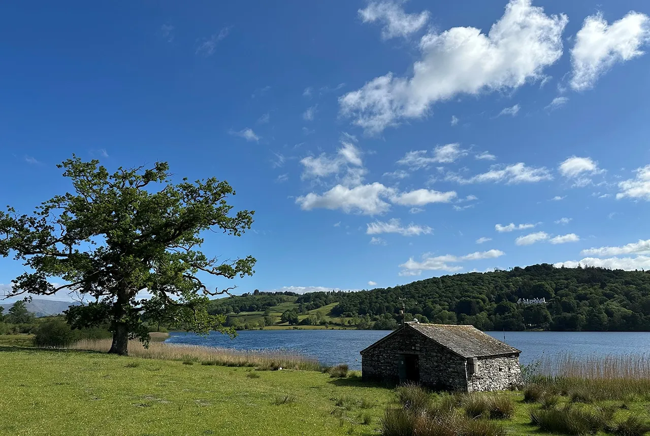
Esthwaite Water: applying novel approaches to understand lake-water nutrient pollution
19/09/2025
Andi Smith (BGS) and Savannah Worne (Loughborough University) embarked on fieldwork in the Lake District, applying a novel stable isotope method for tracing phosphorus sources.

Opening up the geosciences: making work experience more accessible
19/09/2025
BGS has been working with partners to make the geosciences more accessible to young people, including those from under-represented backgrounds.
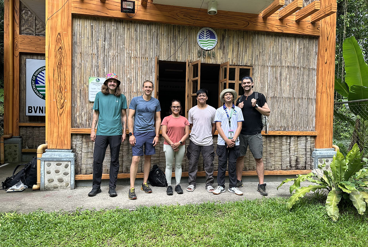
PhD adventures in the Philippines: coring around Lake Bulusan
05/09/2025
Chris Bengt recounts his two-week field trip to Bulusan Volcano Natural Park in the Philippines to collect lake sediment cores, fresh soil and water samples.
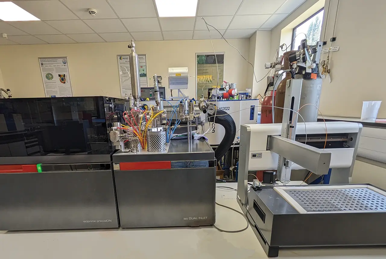
Gemini: a new stable isotope tool
21/08/2025
BGS’s Stable Isotope Facility has new mass spectrometer equipment for analysing carbon and oxygen isotopes from carbonates and water.