

Esthwaite Water: applying novel approaches to understand lake-water nutrient pollution
Andi Smith (BGS) and Savannah Worne (Loughborough University) embarked on fieldwork in the Lake District, applying a novel stable isotope method for tracing phosphorus sources.
19/09/2025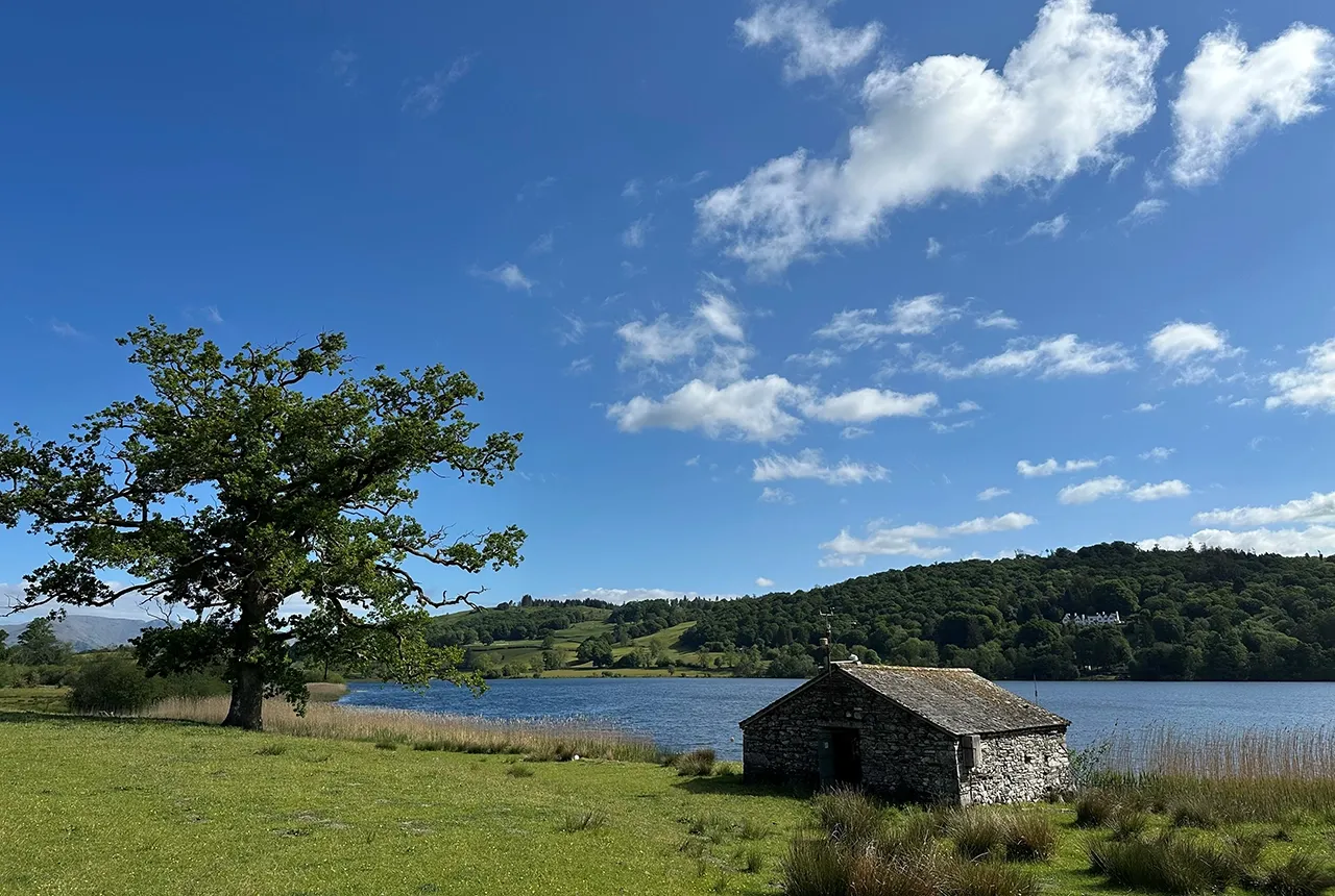

Phosphorus (P) is a key limiting nutrient for many lake systems. However, a rise in the level of phosphorus in lake waters can stimulate the growth of excess plants and algae. The increase in phosphorus facilitates rapid increases in lake productivity, causing events as such as algal blooms, which can lead to reductions in water quality. Phosphorus has been one of the major nutrients responsible for algal blooms over the last several decades.
Most sources of excess phosphorus in lakes are external to their catchments and are mainly due to human activities, such as agricultural runoff, sewage discharge and industrial pollution. These external sources of phosphorus have been well defined over the years and, in many of the UK’s most important lakes, they are regulated and strictly limited.
Lakes such as Esthwaite Water in the Lake District have seen significant reductions in external phosphorus inputs over recent decades, through conscious management to combat previous nutrient pollution problems. However, many lakes, including Esthwaite Water, are still experiencing issues with major algal blooms, despite stringent regulation and monitoring.
Our research aims to quantify why levels of phosphorus in these lakes are still so high, by assessing how much is still coming in from external sources and how much is being sourced from the nutrient-rich sediments historically deposited within the lake.
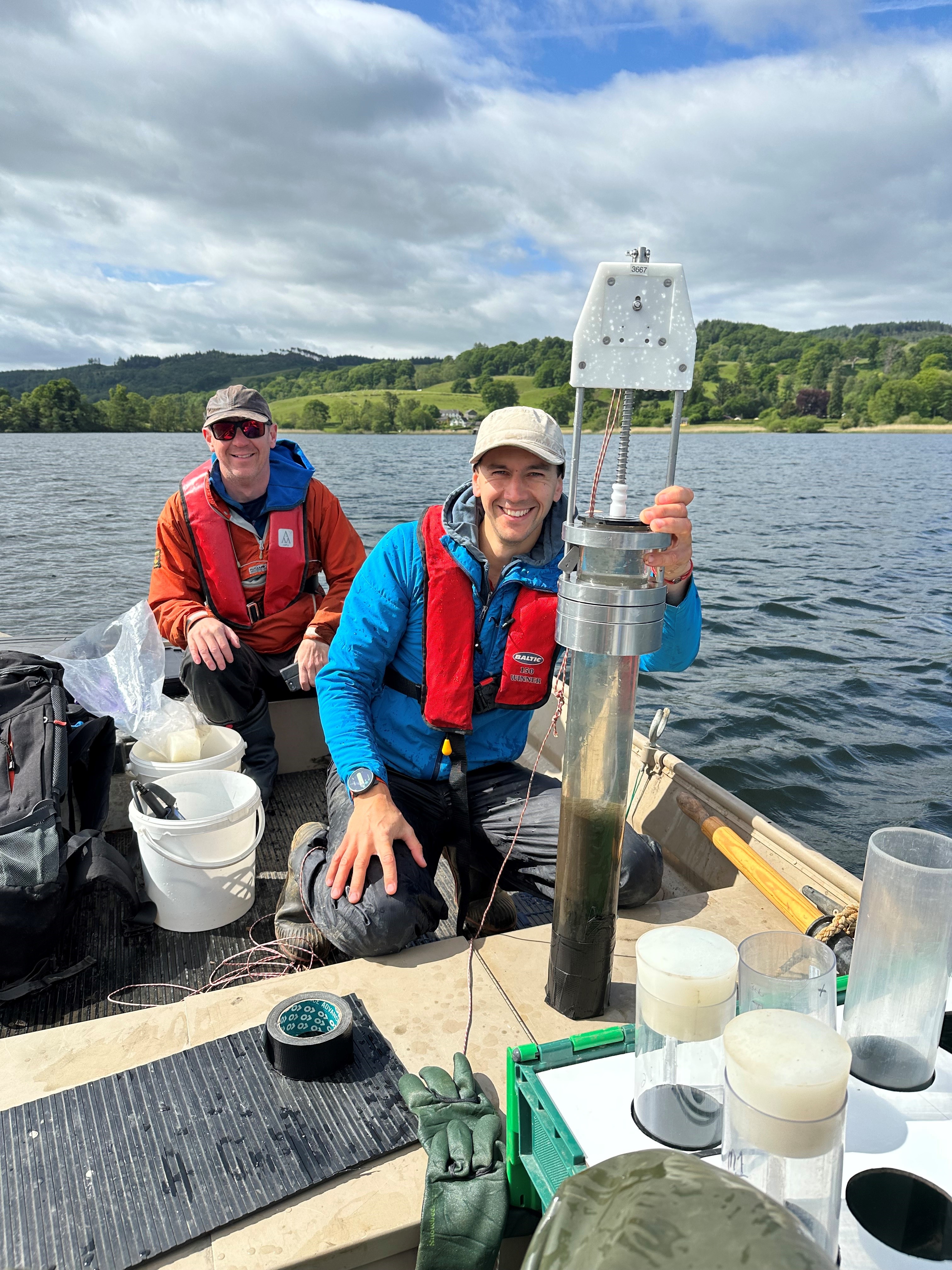
The team out on the lake getting stuck into the often muddy experience of collecting lake sediment cores. These cores cover the period of human interaction with the lake. This means the team can identify periods of minimum and maximum human-derived phosphorus input into the lake. Photo credit: BGS © UKRI.
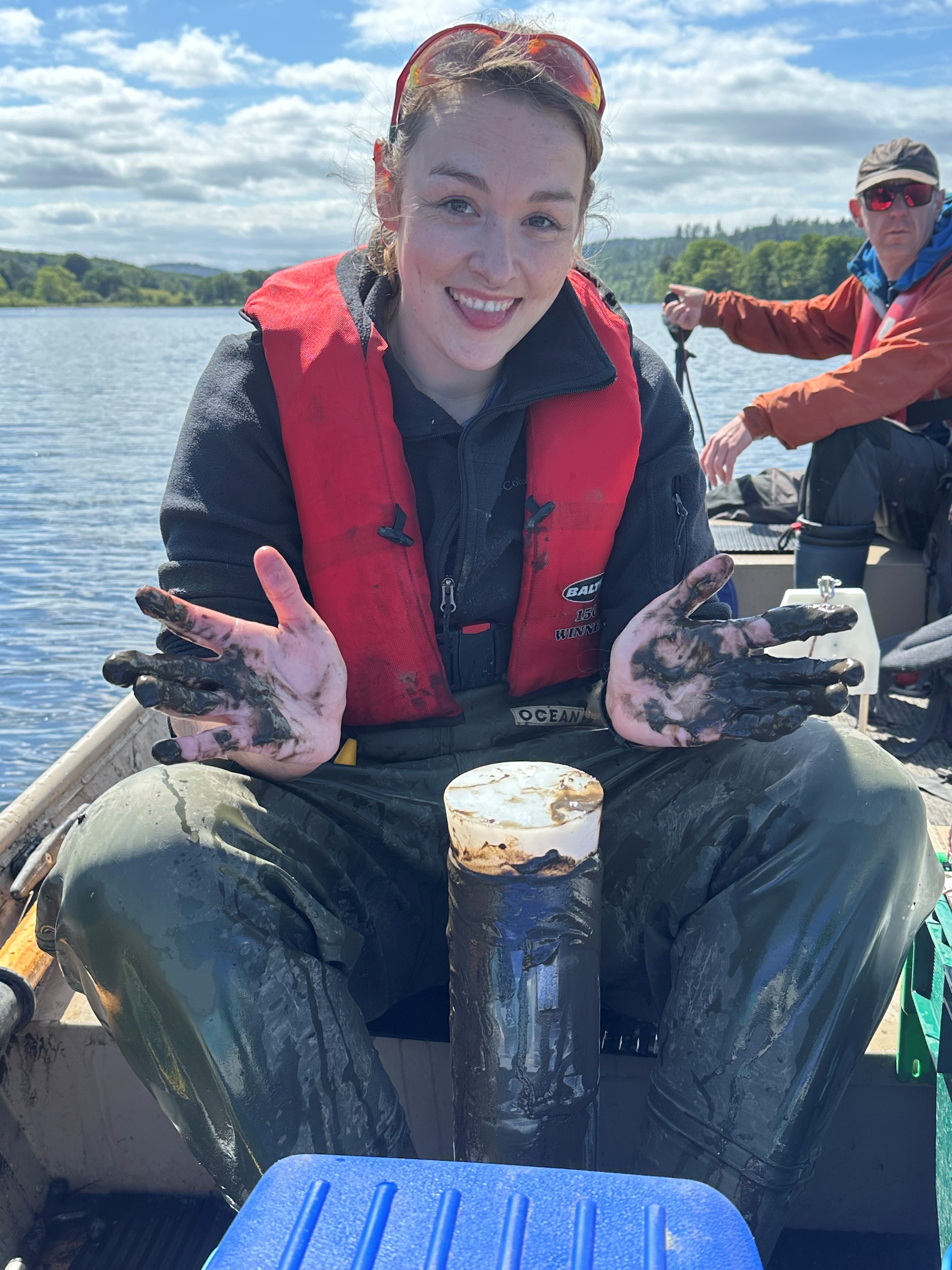
The team out on the lake getting stuck into the often muddy experience of collecting lake sediment cores. These cores cover the period of human interaction with the lake. This means the team can identify periods of minimum and maximum human-derived phosphorus input into the lake. Photo credit: BGS © UKRI.
This round of fieldwork saw the team collecting three lake sediment cores (for isotope and geochemical analyses) as well as numerous water samples from the lake itself and its input streams. All these samples will be analysed at the Loughborough University or BGS laboratories.
It is hoped that the stable phosphate oxygen isotope analysis of the lake sediments in particular will offer novel insights into the past and current phosphorus dynamics at Esthwaite Water. The team will then be able to identify if the lake sediments are contributing a large enough legacy source of phosphorus to the lake waters to maintain the algal blooms that the lake suffers from.
This work is ongoing and experimental but, if successful, it could be applied to a large range of polluted lake systems in the UK and worldwide, to help identify and fingerprint phosphorus sources.
Funding
This work was facilitated and supported by established Esthwaite scientists Gareth McShane and Ellie Mackay from the UK Centre for Ecology & Hydrology.
About the author
Dr Andrew Smith
Isotope geochemist
Related news
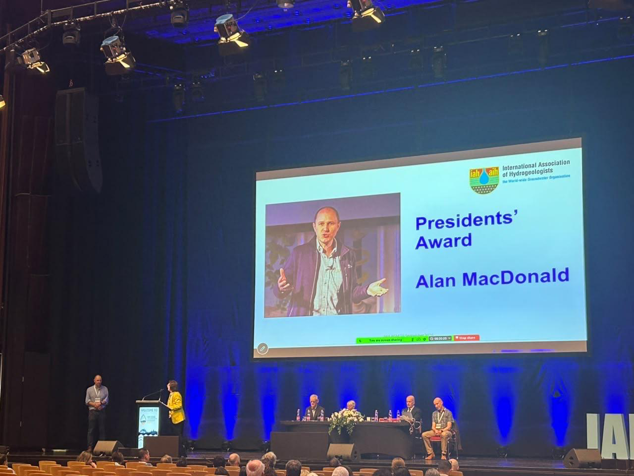
Professor Alan MacDonald presented with Presidents’ Award at 2026 World Groundwater Congress
21/09/2026
The BGS Head of Groundwater has been recognised with this prestigious award by the International Association of Hydrogeologists for his extensive contributions to groundwater science.

What lies beneath Europe’s sinking ground?
01/09/2026
Land subsidence is becoming increasingly visible across Europe. New research examines how better monitoring, shared data and a deeper understanding of the subsurface can help assess and manage its impacts.

Secrets of an ancient supervolcano uncovered that change our understanding of England’s geological past
28/08/2026
Scientists have found evidence of a long-hidden link between an ancient buried ash layer in Scandinavia and a concealed supervolcano in eastern England.
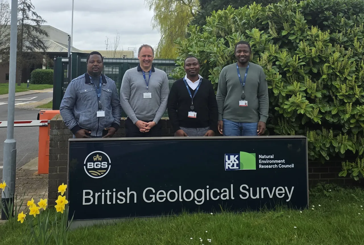
Experiences from our Commonwealth Fellowship at the British Geological Survey
24/08/2026
Scientific fellowships foster professional growth, international collaboration and exposure to world-class research environments. A group of visiting Commonwealth Fellowship researchers share their experience of being hosted at the BGS Inorganic Geochemistry Facility.
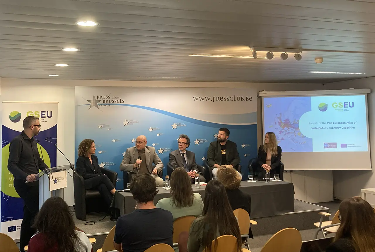
Building Europe’s geological future
20/07/2026
BGS scientists are contributing to a continent-wide initiative that is strengthening collaboration across borders to tackle shared subsurface challenges and unlock new opportunities.
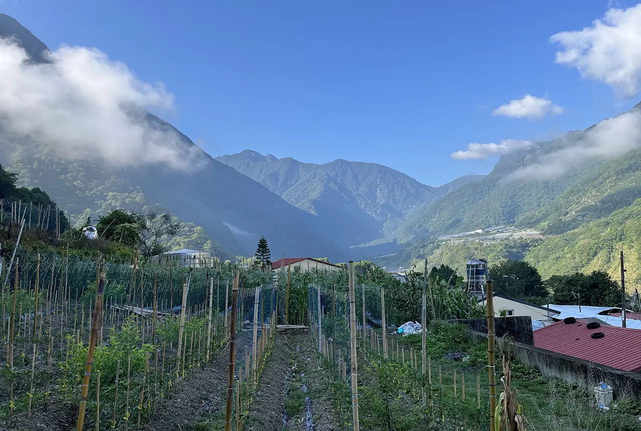
Delving deep into mountains for future water security
16/07/2026
A BGS-led project is using new water-tracing investigation methods, geophysics and modelling to understand how water moves from mountains to the lowlands, helping to improve water security for billions of people.
Updated national 3D model will determine the depth to the solid bedrock beneath our feet
13/07/2026
The BGS Superficial Deposit Thickness Model now includes an elevation model of geological rockhead for the first time, providing important data for civil engineers, geoscientists and environmental scientists.

New geological mapping underway to help manage flooding along the River Tweed
08/07/2026
Scientists are surveying the Tweed catchment for the first time in over 100 years to enhance understanding of localised groundwater and improve flood forecasting.

Ukraine and the UK strengthen their commitment to geological cooperation
10/06/2026
A new Memorandum of Understanding reaffirms the UK’s support of Ukraine’s ambitions to develop its critical mineral resources, paving the way for collaboration through capacity-building programmes.

International science consortium to survey the health, economic value and social importance of Lake Victoria
22/05/2026
The project will replicate the 1927 survey to assess changes in the lake’s health, economic value and social importance.
New geological maps of Berwick-upon-Tweed to help future-proof natural water supply
20/05/2026
Scientists have mapped the geology under the town to better understand the groundwater system to inform decisions around abstraction.

BGS contributes to UN sand and sustainability report
19/05/2026
The new report highlights the impact of poor governance and unsustainable sand mining practices, calling on policymakers to take action.