Relative topics
42 results for "marine geoscience"
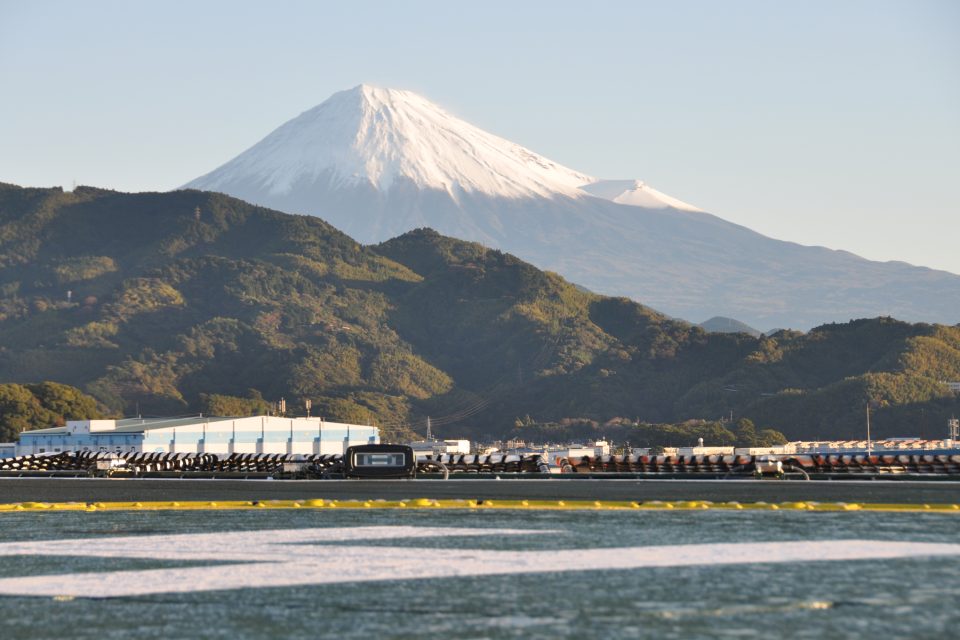
IODP Expedition 386: hosting a sampling party in Japan
BGS help lead the final phase of IODP Expedition 386 in Japan, coordinating science colleagues from around the globe to extract samples from sediment cores aboard DV Chikyu.
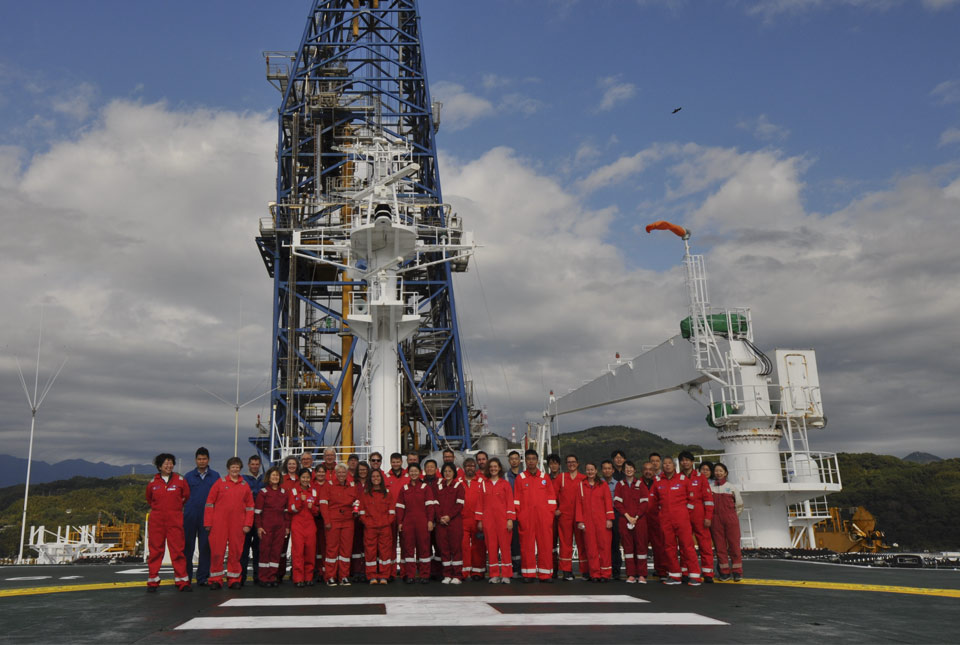
BGS scientists on board research vessel in Japan in major marine research collaboration
Experts from BGS's marine team are part of a major international marine research collaboration to understand more about earthquakes associated with the Japan Trench.
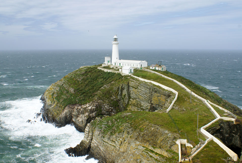
New geological map of offshore Anglesey released
BGS has released a new fine-scale digital map featuring the seabed geology of offshore Anglesey (Ynys Môn).
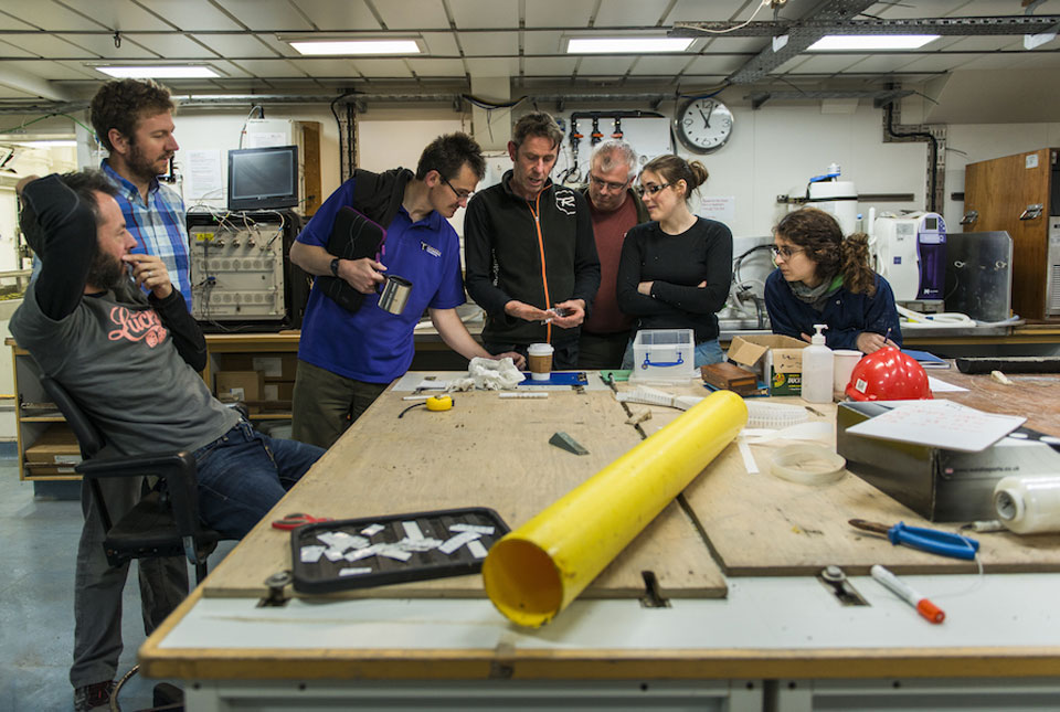
Project findings provide essential insight into the last British–Irish ice sheet
Understanding more about the north-west European continental shelf and improving forecasting for the Antarctic and Greenland ice sheets.
BGS joins the UK Centre for Seabed Mapping to raise data and mapping standards
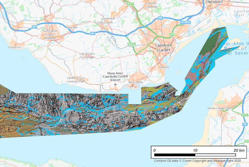
BGS is the latest UK Government organisation to join the newly unveiled UK Centre for Seabed Mapping, helping to boost marine data and mapping standards.
Major research project will support UK’s energy transition
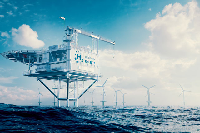
BGS will lead the new research project 'Managing the Environmental Sustainability of the Offshore Energy Transition'.
Scientists reveal extraordinary ecosystems in the deepest part of the Indian Ocean
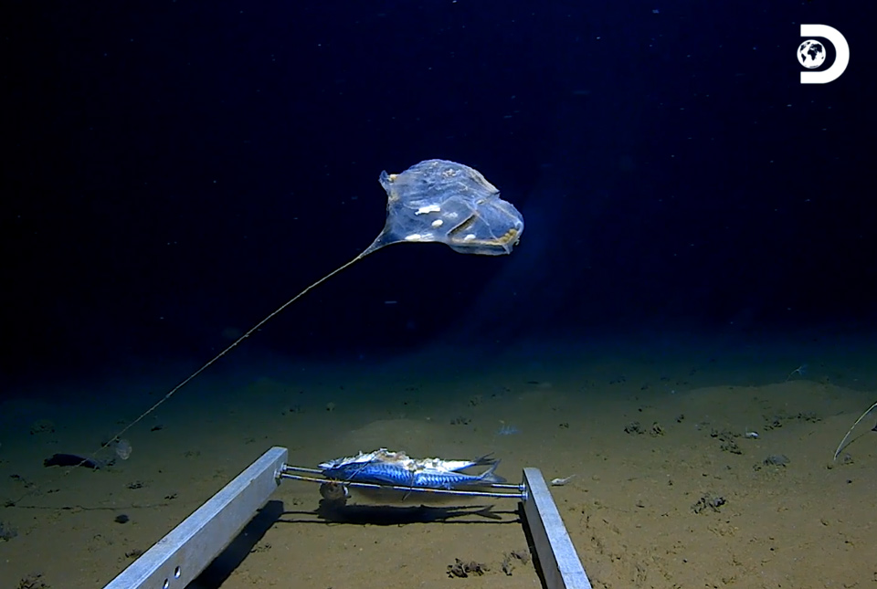
New technology has enabled marine scientists to capture some of the world’s first images of previously unexplored habitats in the deepest point of the Indian Ocean.
BGS releases first in a series of new offshore maps of the UK seabed
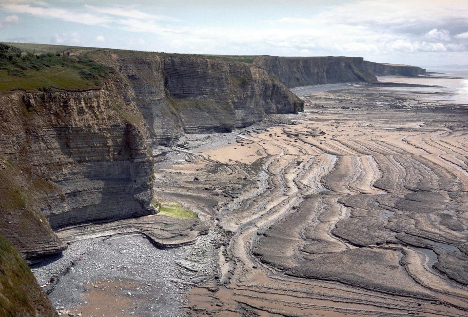
BGS has released the first high-resolution, offshore map in a new series featuring the seabed around the UK.

