Relative topics
43 results for "marine geoscience"
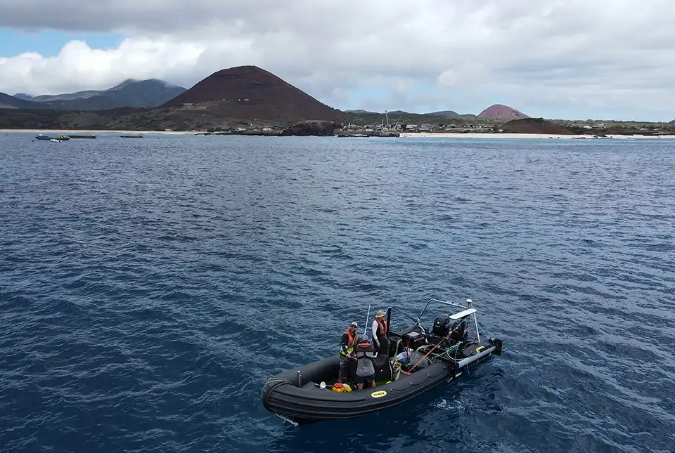
BGS completes first mapping expedition to Ascension Island
BGS marine geoscientists travelled to Ascension Island to support its government with an ongoing, conservation-driven mapping programme.
Industry-leading data sharing partnership announced
A data sharing partnership has been agreed between BGS and Ossian, allowing BGS to advance its knowledge of the rock and soil conditions under the seabed.
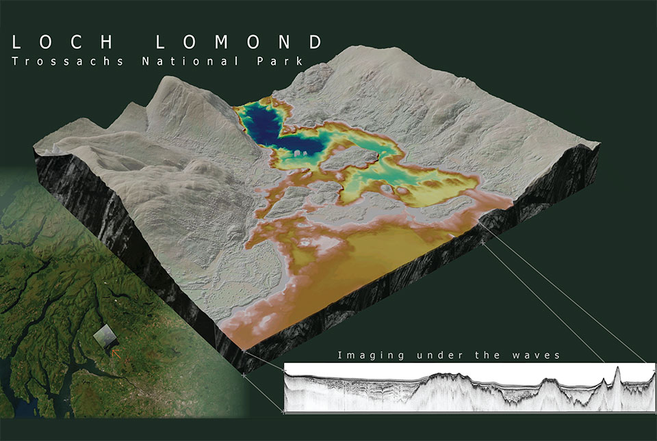
What lies beneath Loch Lomond?
BGS geoscientists have visualised what lies beneath the waves of Loch Lomond, revealing an image of the loch bed and various sedimentary features of the subsurface.
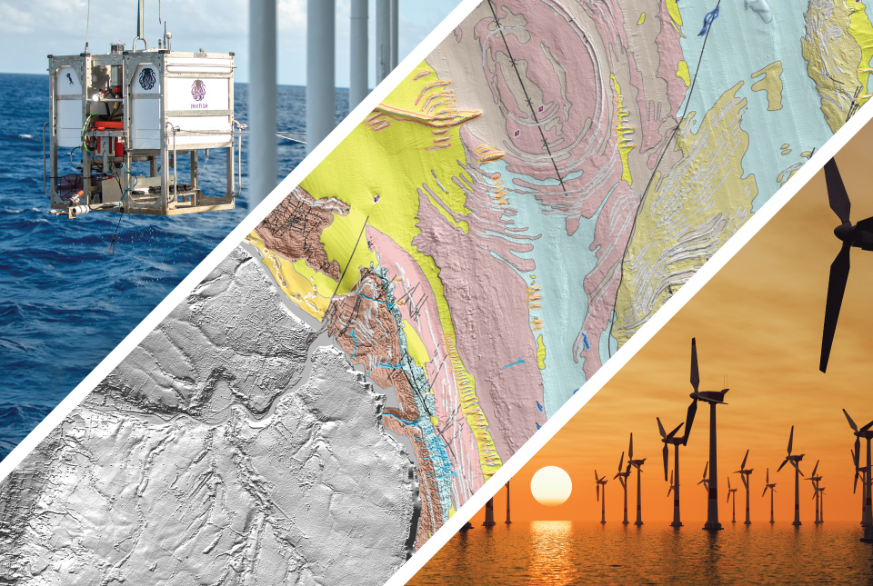
Geology beneath the waves: developing maps and models of the sea floor
A special webinar focusing on our cutting-edge sea floor mapping research and an exciting new project exploring the deepest reaches of the world's oceans. A recording is now available.
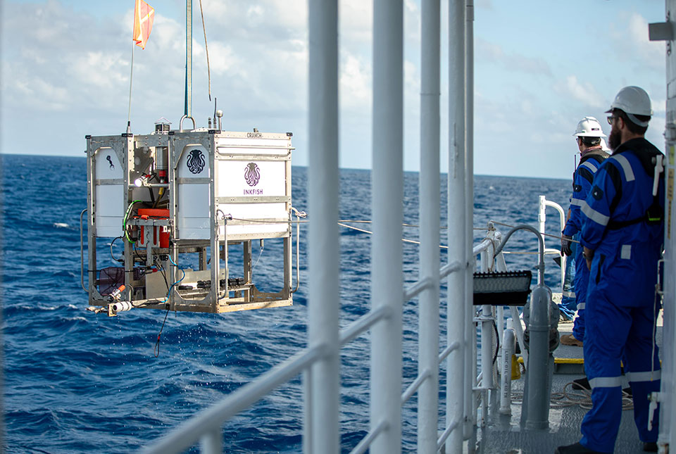
Trans-Pacific Transit 2023: deep-diving ocean partnership sets sail
BGS has joined a multidisciplinary research expedition to ‘explore the unexplored’ and fill in some of the biggest gaps in our knowledge of the oceans' darkest depths.
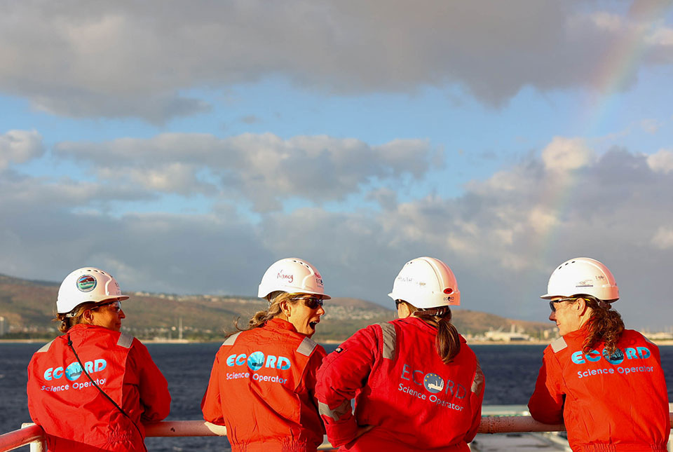
Scientists set sail to investigate high-resolution sea level, climate and coral reef records
BGS scientists are taking part in an expedition off Hawai'i to investigate sea-level changes recorded by ancient coral reefs.
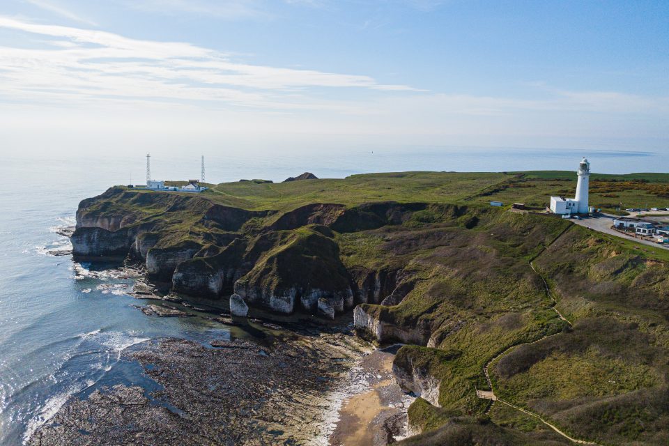
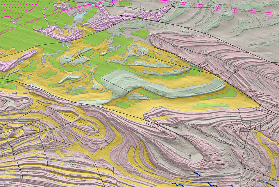
New seabed geology maps for offshore Yorkshire
Offshore Yorkshire is the latest map to be released in BGS's series of fine-scale digital seabed maps.
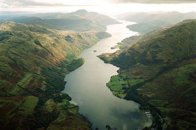
Below the bonnie banks: mapping Loch Lomond’s underwater landslides
Using high-resolution, multibeam bathymetry and shallow seismic imaging, BGS’s marine geoscience and landslides teams are mapping historic landslides under the waters of Loch Lomond.