Relative topics
53 results for "maps and models"
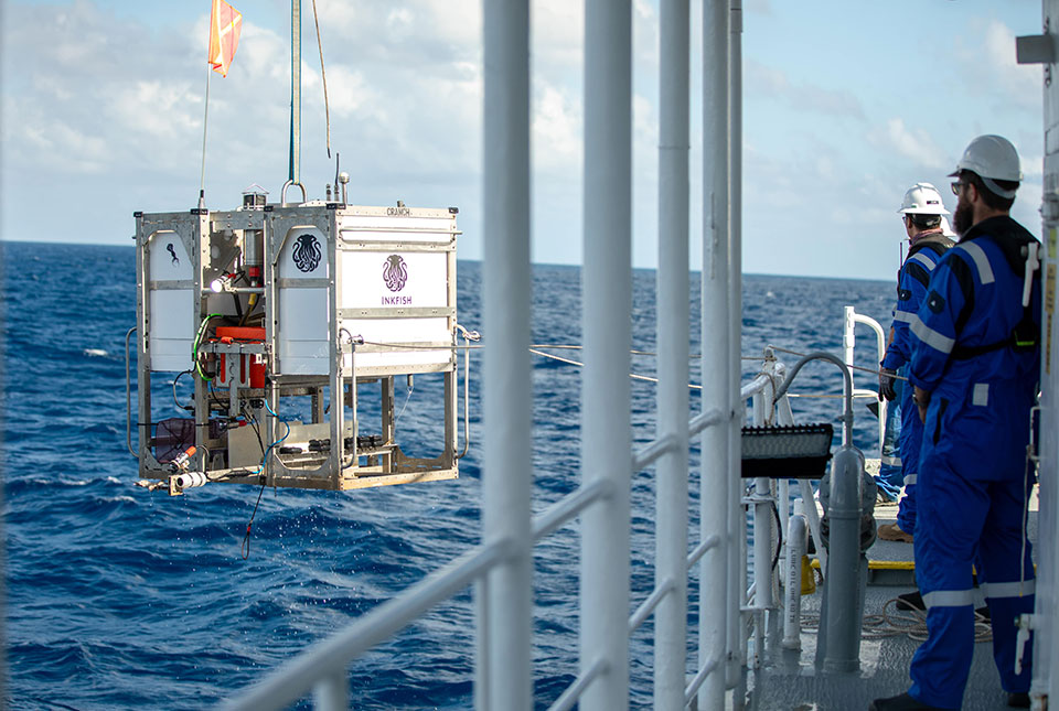
Trans-Pacific Transit 2023: deep-diving ocean partnership sets sail
BGS has joined a multidisciplinary research expedition to ‘explore the unexplored’ and fill in some of the biggest gaps in our knowledge of the oceans' darkest depths.
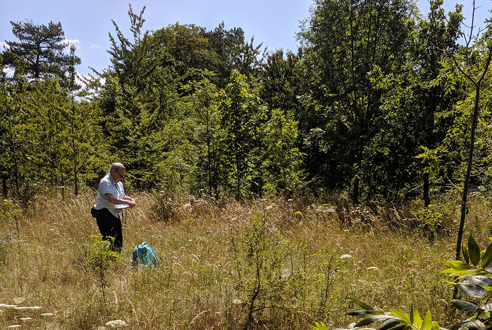
Updated biosphere map for the UK released
The updated biosphere map for the UK will allow users to identify sulphur isotope variations.
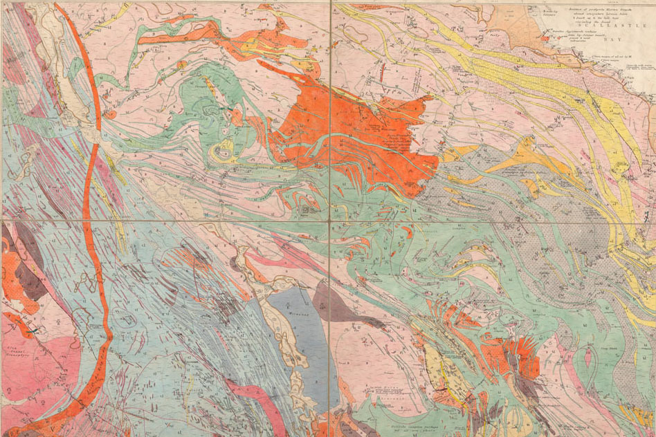
BGS releases 10K maps through updated maps portal
BGS releases an updated maps portal, which allows users to view all publicly available maps, and includes 10 000 and 1:10 560 scale maps for the first time.
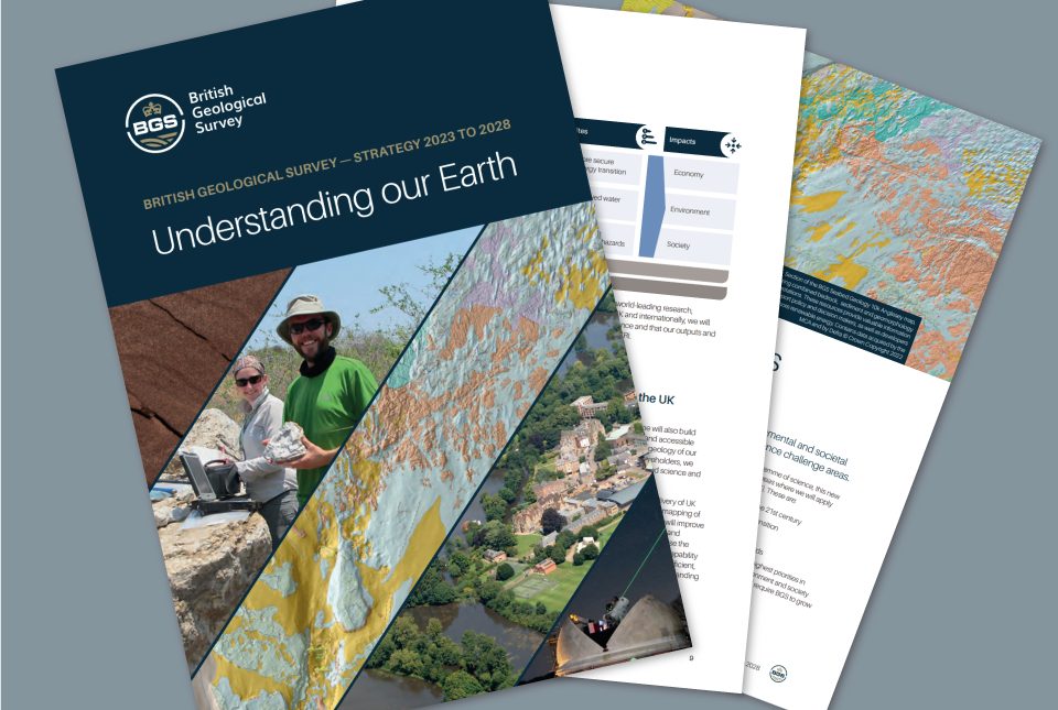
BGS maps out priorities with five-year strategy
BGS publishes its new strategy for 2023 to 2028, 'Understanding our Earth'.
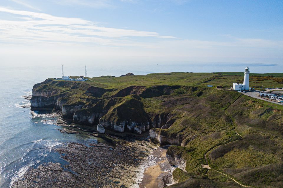
New seabed geology maps for offshore Yorkshire
Offshore Yorkshire is the latest map to be released in BGS's series of fine-scale digital seabed maps.
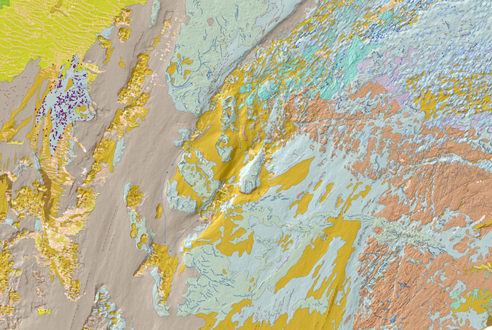
BGS Seabed Geology
The seabed geology map dataset covers regions on the UK’s continental shelf and details the substrate geology, structural geology and seabed geomorphology.
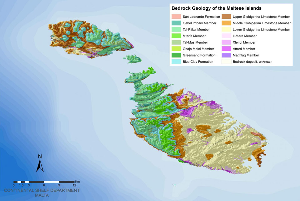
New geological map of the Maltese Islands published
The new map, commissioned by Malta’s Continental Shelf Department, is the first update for almost 30 years.