Relative topics
29 results for "data products"

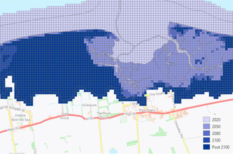
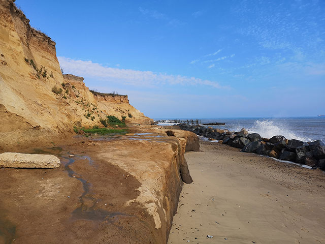
Sea level rise and coastal erosion: what’s the real impact?
How much of an issue are coastal vulnerabilities and what do we need to consider to increase our resilience to future events?

New BGS datasets for coastal management, planning and adaptation in the face of climate change
BGS GeoCoast is a package of geospatial datasets designed to provide information on the geological conditions and constraints around the coastline of Britain.

GeoCoast dataset launch event
BGS invites you to discover more about our new data product to underpin coastal decision making, resilience and adaptation.
GeoCoast Premium
GeoCoast is an integrated GIS package of datasets designed to inform and support coastal management and adaptation.
GeoCoast Open
GeoCoast Open provides a range of historic images and diagrams extracted from our archives, memoirs and other publications, which can provide a reference for coastal change.
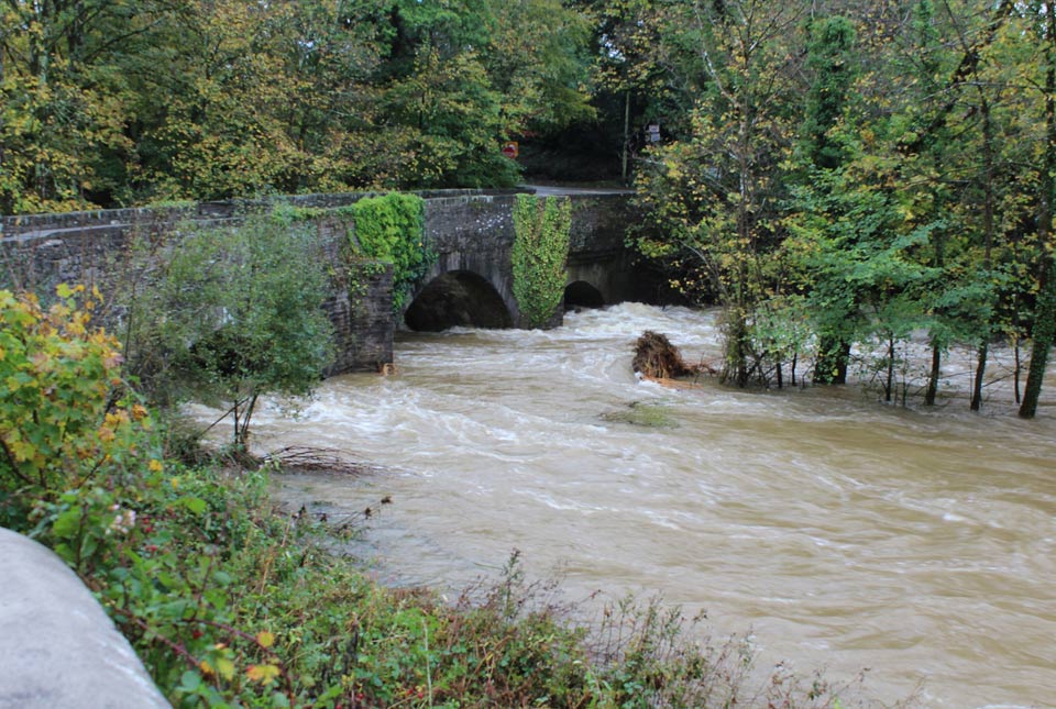
Climate and geology: considering future potential for river scour
A trial BGS data product takes the temporal component of potential future increased amount and intensity of rainfall on river scour into account.
Five minutes with … the BGS Hazard and Resilience Modelling team
Meet the team behind our geohazard products and datasets.
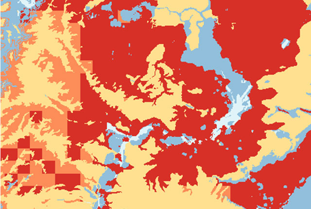
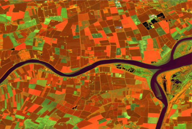
GeoClimate UKCP09 and UKCP18
BGS has developed a suite of products, including maps and data, which show potential change in subsidence due to UKCP climate change scenarios