Relative topics
29 results for "data products"
Introducing the BGS Debris Flow Susceptibility Model for Great Britain
Debris flows are a landslide hazard of particular concern to transport infrastructure managers and local authorities.
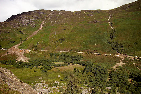
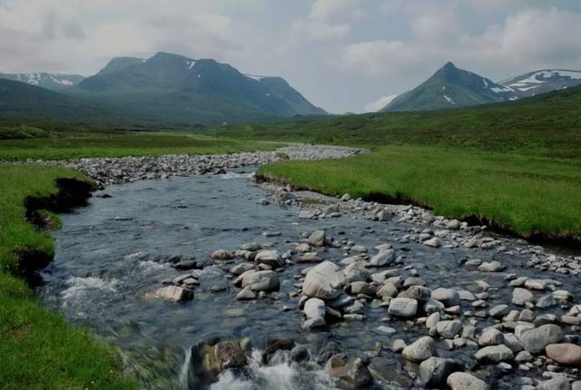
BGS GeoScour: bridging the river erosion data gap
The geological properties of bedrock and superficial deposits that make up riverbeds and banks are fundamental controls on the susceptibility of any given river reach to scouring.
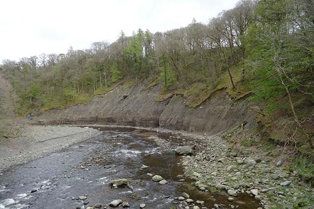
River erosion: the forgotten hazard of flooding
Impacts from flood events can be widespread, long-lasting and extremely costly. The UK Government and environmental protection agencies continue to invest heavily in mitigation measures, as well as trying to predict which areas are most at risk.
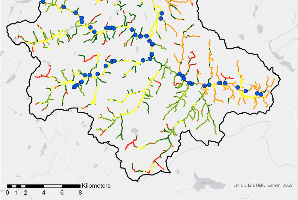
BGS GeoScour Open
The BGS GeoScour Open datasets provide a generalised overview of the natural characteristics and properties of catchment and riverine environments for the assessment of river scour in Great Britain.
BGS GeoScour Premium
The BGS GeoScour datasets provide a generalised overview of the natural characteristics and properties of catchment and riverine environments for the assessment of river scour in Great Britain.
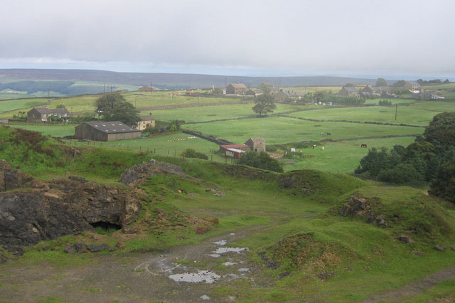
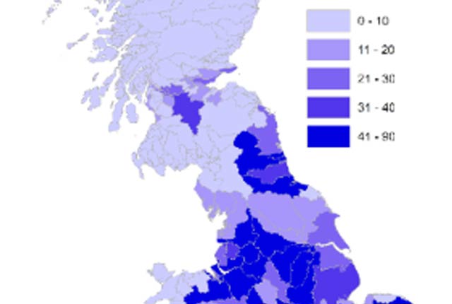
Mining hazard data (not including coal) from BGS
Great Britain has over 250 000 documented mining sites and the underground voids resulting from past mining activity pose a possible hazard. Knowledge of the distribution of former mining areas will help us to plan for future development and ongoing maintenance.

Introducing GeoCoast: new coastal datasets from BGS
GeoCoast is an integrated GIS package of datasets designed to inform and support coastal management and adaptation.
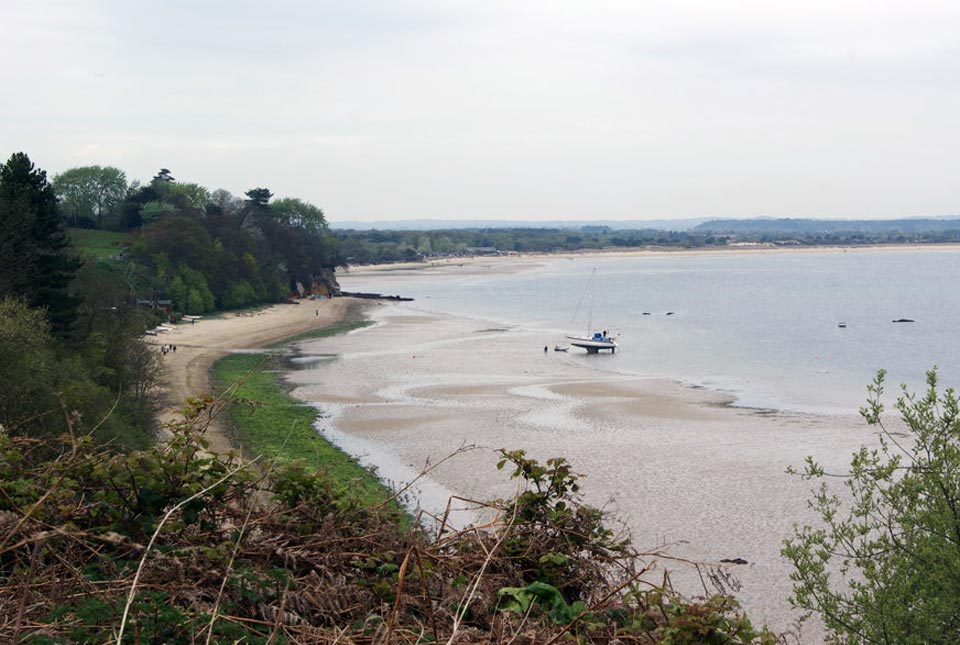
Six changing coastlines and how climate change could affect them
We explore how parts of the British coastline are changing and what important factors we should consider in terms of natural hazards, adaptation and resilience.