The optimisation of plutonium separation
BGS research leads to advancements in the detection of plutonium and ultimately the determination of soil erosion rates in tropical soils.
07/11/2023 By BGS Press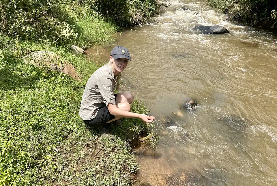

Soil erosion processes present the greatest risk to land degradation worldwide and, due to fertile soil being an essential resource, there is increasing concern around the world regarding accelerated soil erosion, particularly in developing countries.
The analysis of plutonium (Pu) in soil samples can inform the understanding of soil erosion processes globally. However, there are specific challenges associated with such analysis in tropical soils, so an optimal analytical methodology that ensures the best sensitivity is critical.
Why use plutonium?
Due to their long retention times and minimal spatial variability, Pu isotopes have proven useful as an alternative fallout radionuclide tracer for determining soil erosion rates. To utilise Pu as an effective soil erosion tracer in the southern hemisphere, separation techniques and analyses need to be optimised to establish a robust analytical method for the determination of ultra-trace level Pu isotopes. This method must also have sufficient sensitivity for African soil samples, which typically have very low Pu concentrations compared to the northern hemisphere.
This research aimed to accurately establish fallout Pu activity concentrations in tropical soils in order to determine soil erosion rates with an improved separation and analysis method for ultra-trace Pu determination. To achieve this aim we had to:
- adapt and optimise a separation method using trialkyl methylammonium nitrate (TEVA) cartridges to remove matrix interferences with pre-concentration of ultra-trace Pu isotopes (this reduced waste and increased throughput)
- establish a robust analytical method for the determination of ultra-trace level Pu isotopes with sufficient sensitivity for African soil samples using oxygen as a reaction gas for inductively coupled plasma mass spectrometry (ICP-MS)

The development of robust analytical methods to determine rates of soil erosion and its effect on land degradation is vital to advise mitigation strategies, ultimately ensuring the future sustainability of soils.
Sophia Dowell, PhD student at BGS.
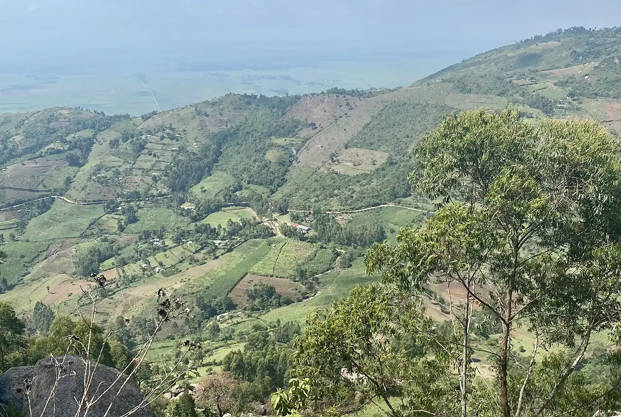
Views from the research area in Kenya. BGS © UKRI.
Where does the plutonium come from?
Pu is present in the environment primarily because of nuclear weapons testing. Between 1945 and 1980, 520 atmospheric tests were conducted worldwide; however, only 10 per cent of these experiments were conducted in the southern hemisphere. This resulted in significantly less fallout in the tropics than in the mid-latitudes of the northern hemisphere, which makes the analysis of ultra-trace Pu isotopes in tropical soils challenging.
The challenge of plutonium analysis
Due to their long retention time and minimal spatial variability, Pu isotopes have recently been used as an alternative fallout radionuclide tracer for determining soil erosion rates. As a result of the long half-lives of 239Pu and 240Pu (24 110 and 6561 years, respectively), approximately 99 per cent of the original activity remains in soils. This means they are suitable as stable, long-term tracers compared to, for example, 137 caesium (Cs), despite Cs’s significantly higher activity in the environment, as Cs only has a half-life of 30 years. Additionally, more than six times as many atoms of 239Pu and 240Pu were initially dispersed compared to 137Cs. This combination of long half-life and higher atom content makes mass spectrometry (MS) techniques better suited to Pu isotopes, whereas radiometric decay counting techniques are more appropriate for the higher specific activity 137Cs.
Consequently, recent developments in mass spectrometry techniques have the potential to increase the sensitivity of Pu isotope quantification and subsequently the availability of analytical methods applicable to tropical soils. This raises the potential of using Pu as a soil erosion tracer in the tropics, where the risk of soil degradation is increasing due to extreme weather patterns.
A powerful tool
This method presents a simple, cost-effective, robust sequence with reduced laboratory waste disposal, which is vital to ensure the separation method is applicable to low-resource laboratories. Along with the low detection limits that are comparable to alternative MS methods, this outcome makes the method applicable to the detection of ultra-trace fallout Pu in African soils.
Due to increasing concern regarding accelerated soil erosion and its impact on sustainable intensification of agriculture in developing countries, this work provides advancements in the detection of Pu. The new method is also a powerful tool for the analysis of ultra-trace Pu in African soils, ultimately improving the determination of soil erosion rates in tropical soils to better inform mitigation strategies.
This method has the potential to improve access to advanced soil erosion measurements that could be produced faster than traditional laboratory techniques to enable analyses at scale, yet with greater accuracy than machine learning predictions based on remote sensing data in developing countries which are most at risk to land degradation.
Sophia Dowell, PhD student at BGS.
Funding
BGS led the research in conjunction with the University of Plymouth and the University of Eldoret in Kenya.
Sophia’s PhD was supported by the NERC funded ARIES doctoral training programme (grant number NE/S007334/1), and from the NERC International National Capability grants to BGS (NE/R000069/1 and NE/X006255/1), Royal Society International Collaboration grant (ICA/R1/191077), British Academy (WW21100104) and BGS University Funding Initiative (GA/19S/017).
More information
The full research paper is available: Optimisation of plutonium separations using TEVA cartridges and ICP-MS/MS analysis for applicability to large-scale studies in tropical soils.
The British Geological Survey (BGS) is a world-leading geological survey that undertakes strategic science for the benefit of society. BGS is part of UK Research and Innovation (UKRI) and a research centre within the Natural Environment Research Council (NERC).
BGS delivers research, products and services for the UK, and operates internationally to maximise the impact of its science and to contribute to the UK’s international priorities. BGS is the national centre of geological data and information and undertakes monitoring and analytical research programmes. These enable the timely and authoritative provision of impartial and independent information and advice to governments, industry and civil society.
The new BGS Strategy for 2023 to 2028, ‘Understanding our Earth’, sets out its four priority science areas for the next five years, helping to deliver the necessary geological data and knowledge for a sustainable future. See www.bgs.ac.uk.
Relative topics
Related news

Isotopes and science: my student placement at BGS
08/04/2026
Industrial placements at BGS for undergraduate students give real-life experience of working in laboratories and learning different analytical techniques.

Updated geological assessment of the Southern North Sea set to underpin future offshore infrastructure development
25/03/2026
The first regional assessment for 30 years will support offshore marine and subsurface planning for the UK’s low-carbon energy infrastructure, including the 2030 target of 45 to 50 GW generated through offshore wind.

New research could help provide a more reliable water supply for millions in rural Africa
24/03/2026
A new BGS-led study has revealed crucial insights into the longstanding challenges affecting the reliability and performance of rural water supply infrastructure in sub-Saharan Africa.

UK Critical Minerals Intelligence Centre 2026 showcase
Event on 31/03/2026
A special live webinar with the team from the Critical Minerals Intelligence Centre showcasing the latest research from 2026 on copper, the future of digital, and what’s next for the criticality assessment. A recording of the event is now available.

PhD adventures in Copenhagen, Denmark: revealing past recovery processes of tropical forest systems through ancient environmental DNA
12/03/2026
PhD student Chris Bengt visited the University of Copenhagen to carry out very delicate extraction of aeDNA from lake-sediment cores, in the hopes of unlocking the secrets of past volcanic eruptions.

Call for new members and Chair to join the NERC facilities steering committees
25/02/2026
New members are needed to join the committees over the next four years.

Your views wanted: developing a geothermal energy subsurface data portfolio
24/02/2026
BGS is aiming to support the growth of the sector by providing the best-available, location-specific geothermal and ground source heat information as an accessible product or service.

Map of BGS BritPits showing the distribution of worked mineral commodities across the country
18/02/2026
BGS’s data scientists have generated a summary map of the most commonly extracted mineral commodities by local authority area, demonstrating the diverse nature of British mineral resources.

MARC Conference 2025: highlighting the importance of conferences to PhD students
16/02/2026
BGS and University of Nottingham PhD student Paulina Baranowska shares her experience presenting her research on nuclear forensics at her first international conference.

Funding awarded to map the stocks and flows of technology metals in everyday electronic devices
12/02/2026
A new BGS project has been awarded Circular Electricals funding from Material Focus to investigate the use of technology metals in everyday electrical items.

New UK/Chile partnership prioritises sustainable practices around critical raw materials
09/02/2026
BGS and Chile’s Servicio Nacional de Geología y Minería have signed a bilateral scientific partnership to support research into critical raw materials and sustainable practices.

Extensive freshened water confirmed beneath the ocean floor off the coast of New England for the first time
09/02/2026
BGS is part of the international team that has discovered the first detailed evidence of long-suspected, hidden, freshwater aquifers.