Latest

New NERC-funded project empowers young people to engage with environmental science
23/07/2026
BGS is part of a new, collaborative project, funded through NERC’s ‘Opening up the environment’ programme, helping the environmental research community become more accessible.

Delving deep into mountains for future water security
16/07/2026
A BGS-led project is using new water-tracing investigation methods, geophysics and modelling to understand how water moves from mountains to the lowlands, helping to improve water security for billions of people.


Building Europe’s geological future
20/07/2026
BGS scientists are contributing to a continent-wide initiative that is strengthening collaboration across borders to tackle shared subsurface challenges and unlock new opportunities.
Explore more news
Browse all news and events by category

New UK/Chile partnership prioritises sustainable practices around critical raw materials
09/02/2026
BGS and Chile’s Servicio Nacional de Geología y Minería have signed a bilateral scientific partnership to support research into critical raw materials and sustainable practices.

Extensive freshened water confirmed beneath the ocean floor off the coast of New England for the first time
09/02/2026
BGS is part of the international team that has discovered the first detailed evidence of long-suspected, hidden, freshwater aquifers.

Funding secured to help mitigate ground risk in UK construction sector
05/02/2026
The BGS Common Ground project has been awarded new funding to help unlock the value of ground investigation data.
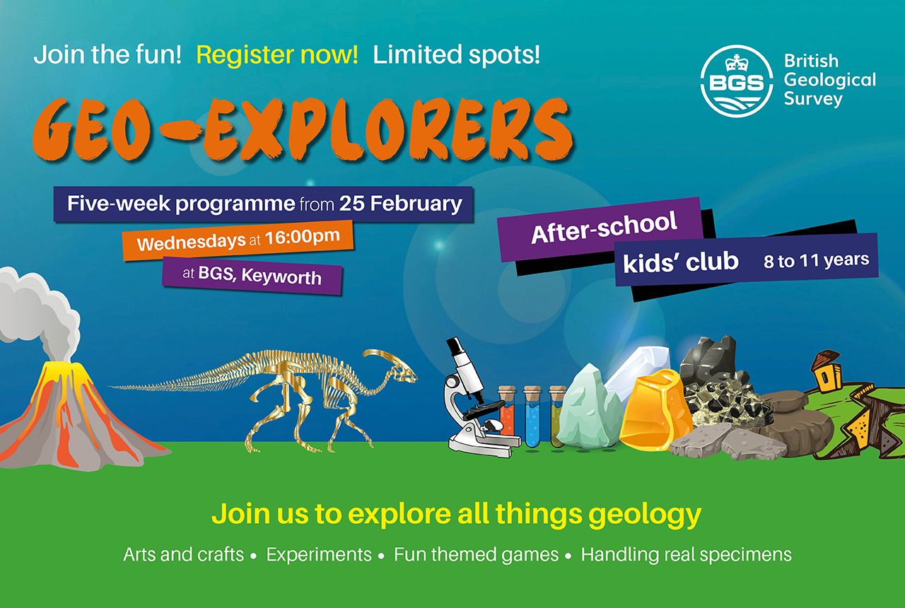
After-school kids’ clubs
Event from 25/02/2026 to 25/03/2026
An after school club for junior geology enthusiasts

Can sandstones under the North Sea unlock the UK’s carbon storage potential?
02/02/2026
For the UK to reach its ambitious target of storing 170 million tonnes of carbon dioxide per year by 2050, it will need to look beyond the current well-studied geographical areas.

Quaternary UK offshore data digitised for the first time
21/01/2026
The offshore wind industry will be boosted by the digitisation of a dataset showing the Quaternary geology at the seabed and the UK’s shallow subsurface.

Suite of ten new soil reference materials released
02/01/2026
BGS has a longstanding track record of producing high-quality reference materials and has released ten new soil reference materials.