Latest
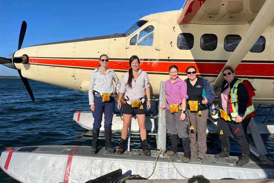
Funding awarded to UK/Canadian critical mineral research projects
08/07/2025
BGS is part of a groundbreaking science partnership aiming to improve critical minerals mining and supply chains.
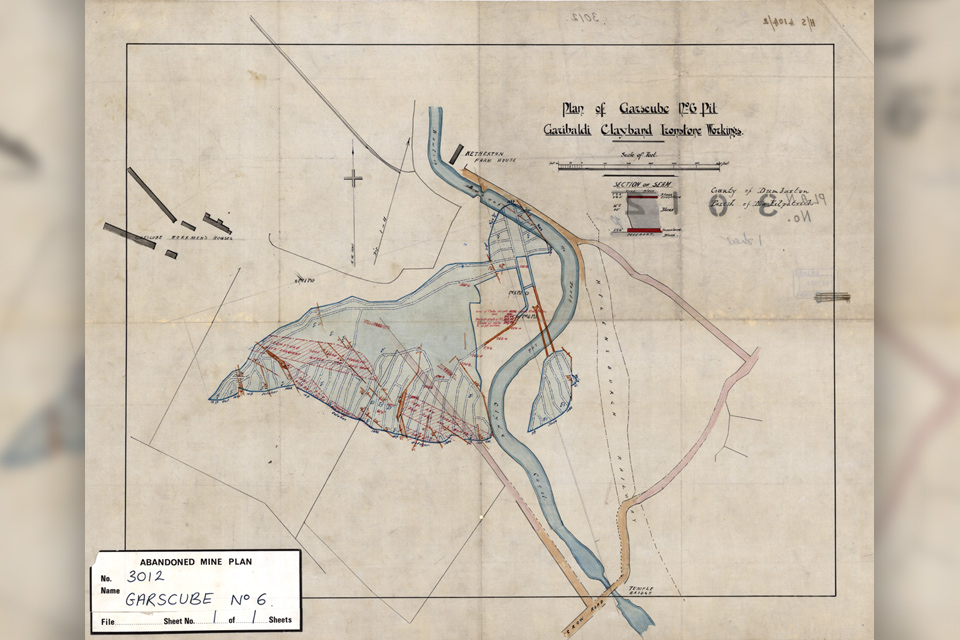
Release of over 500 Scottish abandoned-mine plans
24/06/2025
The historical plans cover non-coal mines that were abandoned pre-1980 and are available through BGS's plans viewer.
AI and Earth observation: BGS visits the European Space Agency
02/07/2025
The newest artificial intelligence for earth science: how ESA and NASA are using AI to understand our planet.
Explore more news
Browse all news and events by category

BGS announces new director of its international geoscience programme
17/03/2025
Experienced international development research leader joins the organisation.
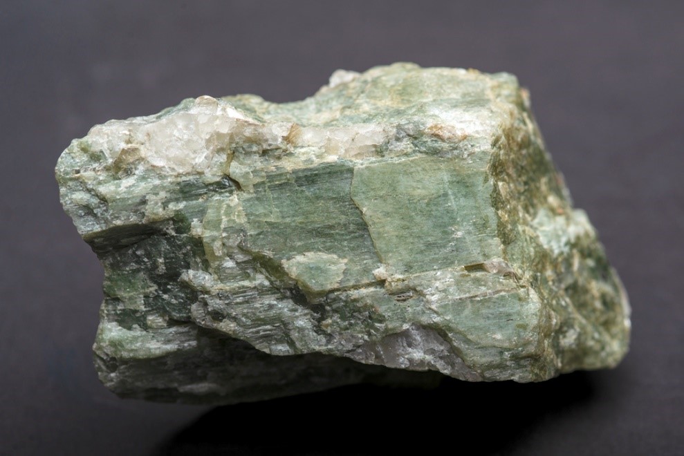
Future projections for mineral demand highlight vulnerabilities in UK supply chain
13/03/2025
New Government-commissioned studies reveal that the UK may require as much as 40 per cent of the global lithium supply to meet anticipated demand by 2030.
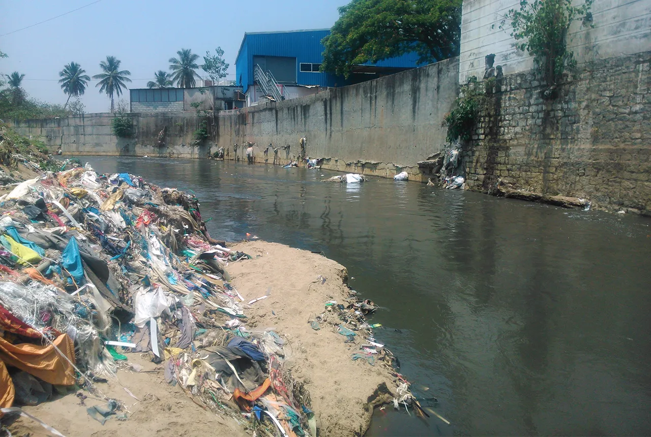
Presence of harmful chemicals found in water sources across southern Indian capital, study finds
10/03/2025
Research has revealed the urgent need for improved water quality in Bengaluru and other Indian cities.
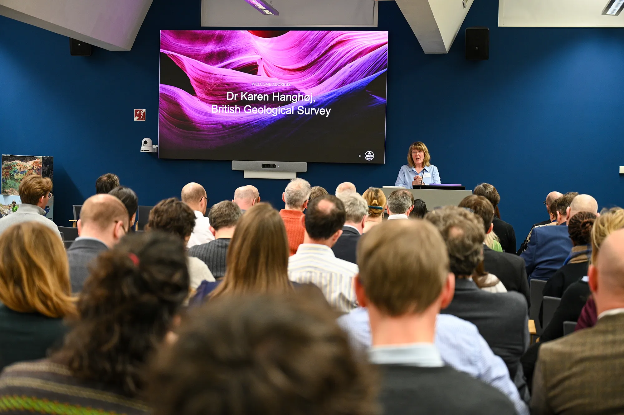
Critical Mineral Intelligence Centre hosts second conference
28/02/2025
The Critical Minerals Intelligence Centre conference took place at BGS’s headquarters in Keyworth, Nottinghamshire.
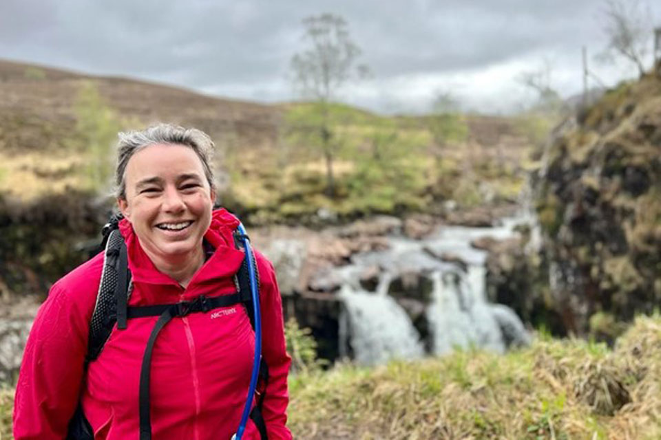
Dr Kathryn Goodenough honoured with prestigious award from The Geological Society
27/02/2025
Dr Kathryn Goodenough has been awarded the Coke Medal, which recognises those who have made a significant contribution to science.
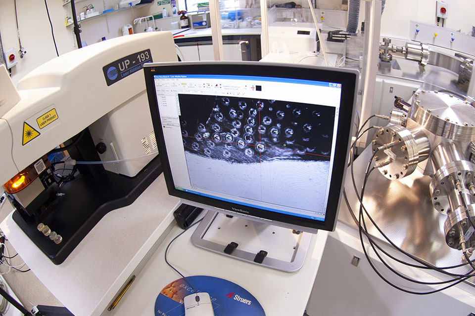
Call for new members and Chair to join the NERC facilities steering committees
18/02/2025
New members are needed to join the committees over the next four years.
BGS announces new director of BGS National Geoscience
12/02/2025
BGS announces its new director of BGS National Geoscience.
NERC Tech Forum 2025
Event from 03/06/2025 to 05/06/2025
The primary aim of the meeting is networking within technology areas in NERC and related research centres.

