Latest
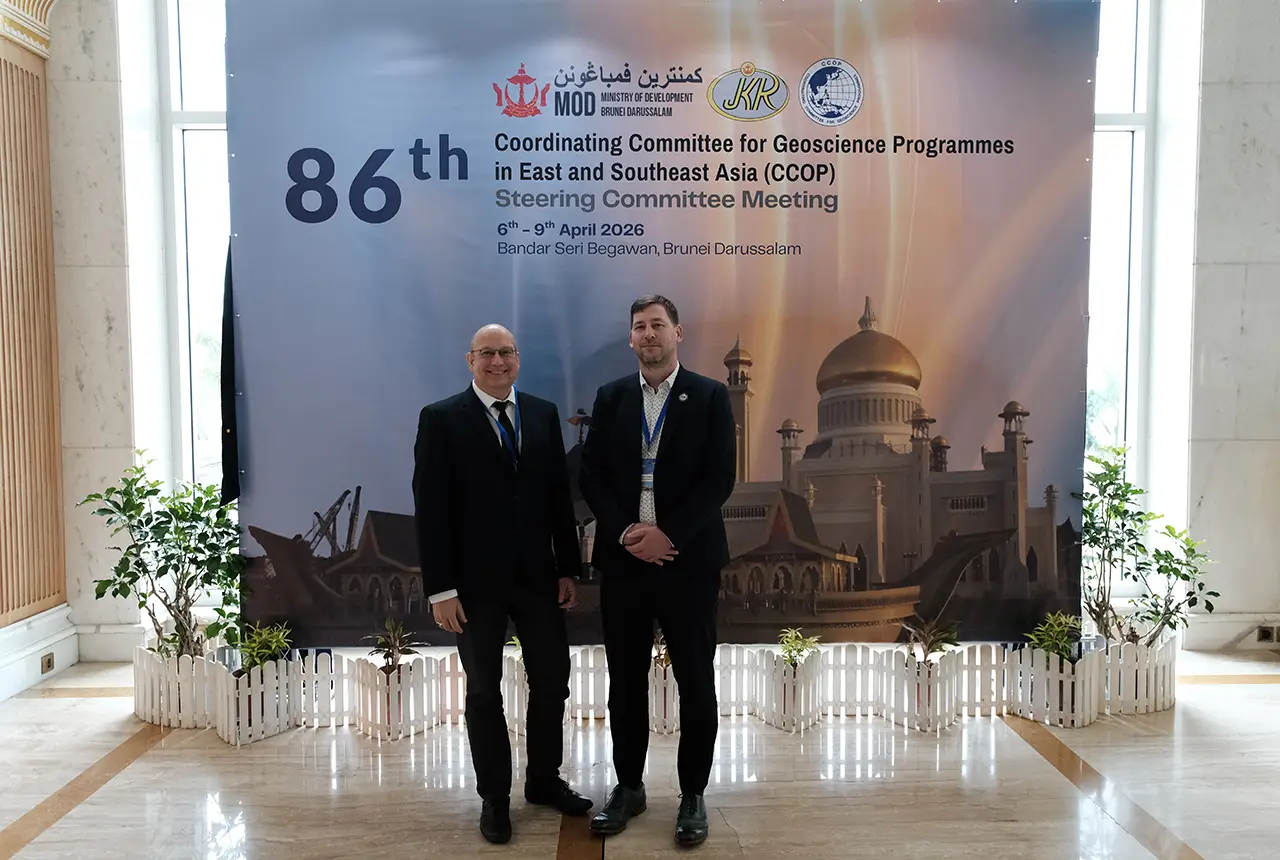
BGS engineering geologist elected to CCOP
29/04/2026
Marcus Dobbs has been elected as vice-chair of the advisory group for the Coordinating Committee for Geoscience Programmes in East and Southeast Asia.
UK Minerals Yearbook 2025 now available
21/04/2026
The annual publication provides essential information about the production, consumption and trade of UK minerals up to 2025.

Strengthening capacity through partnership: a critical minerals perspective
28/04/2026
BGS has been working in partnership with the Geological Survey Department of Zambia (GSD) to build national capacity, improve data accessibility and support long-term, sustainable development.
Explore more news
Browse all news and events by category
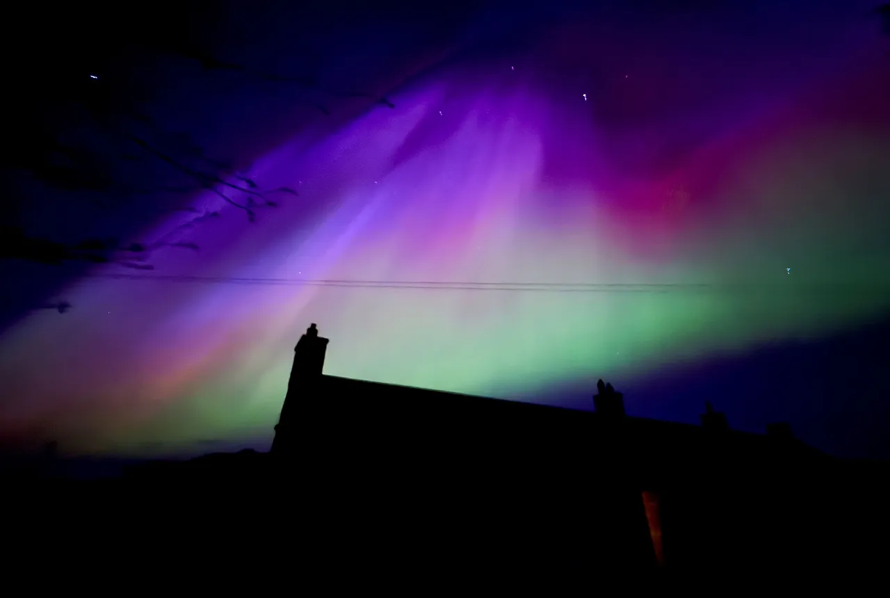
UK scientists in awe-rora as national coverage of magnetic field complete for the first time
23/09/2025
New sensors being installed across the UK are helping us understand the effects that extreme magnetic storms have on technology and national infrastructure.
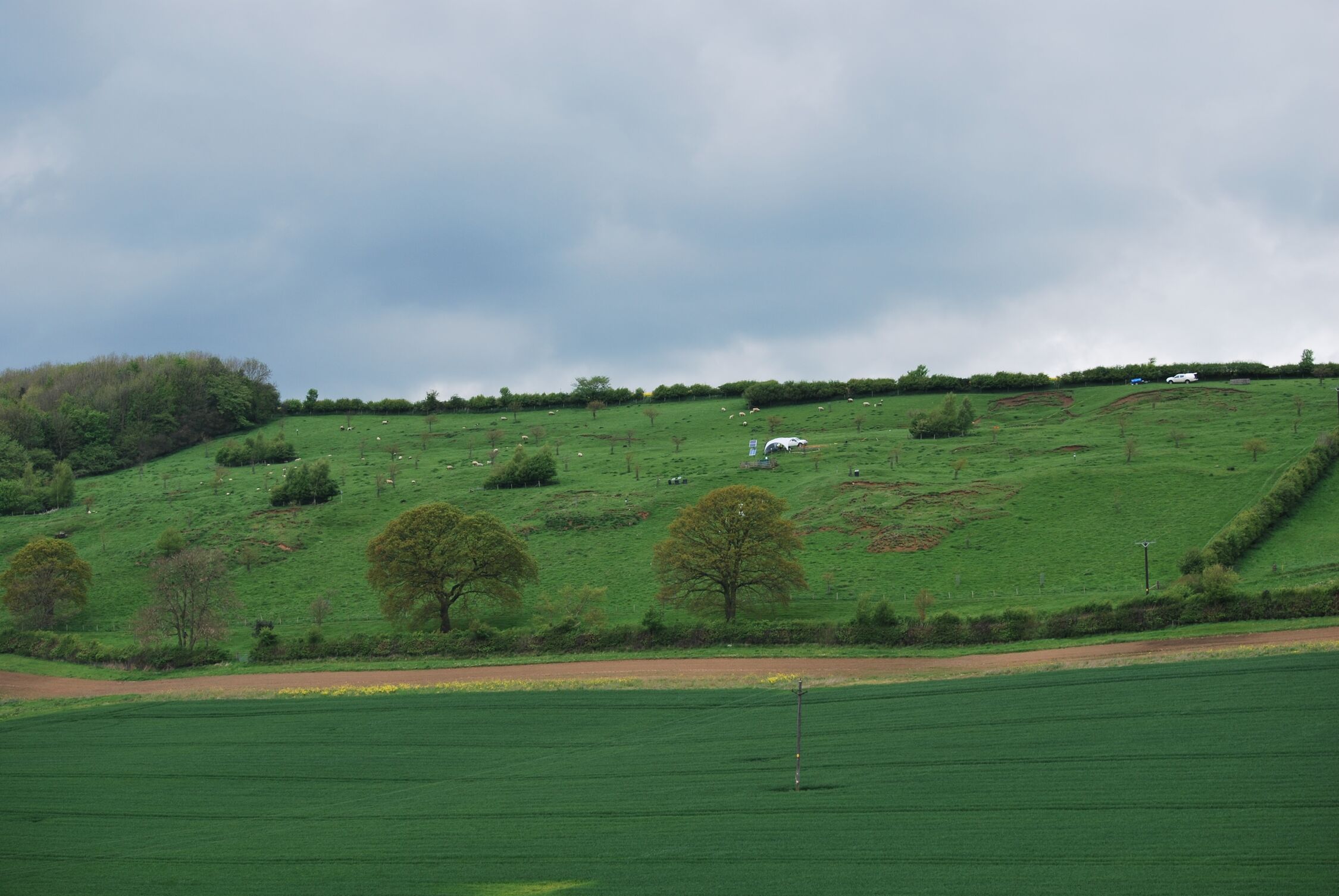
Funding awarded for study on hydrogen storage potential in North Yorkshire
22/09/2025
A new study has been awarded funding to explore the potential for underground hydrogen storage near the Knapton power plant.
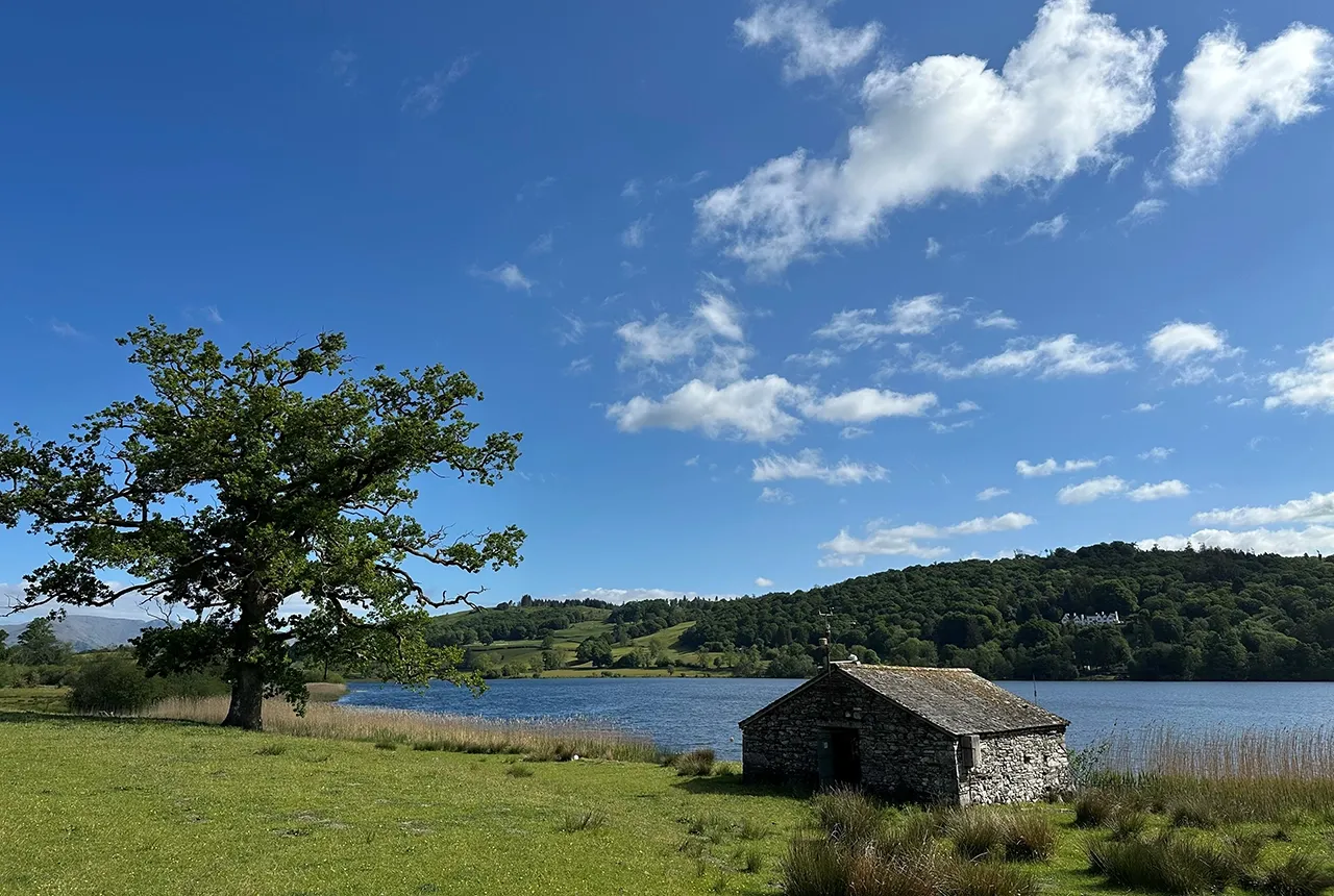
Esthwaite Water: applying novel approaches to understand lake-water nutrient pollution
19/09/2025
Andi Smith (BGS) and Savannah Worne (Loughborough University) embarked on fieldwork in the Lake District, applying a novel stable isotope method for tracing phosphorus sources.

Opening up the geosciences: making work experience more accessible
19/09/2025
BGS has been working with partners to make the geosciences more accessible to young people, including those from under-represented backgrounds.
BGS-led paper scoops prestigious award
16/09/2025
New research providing earlier warnings of landslides has been awarded the British Geotechnical Association medal.
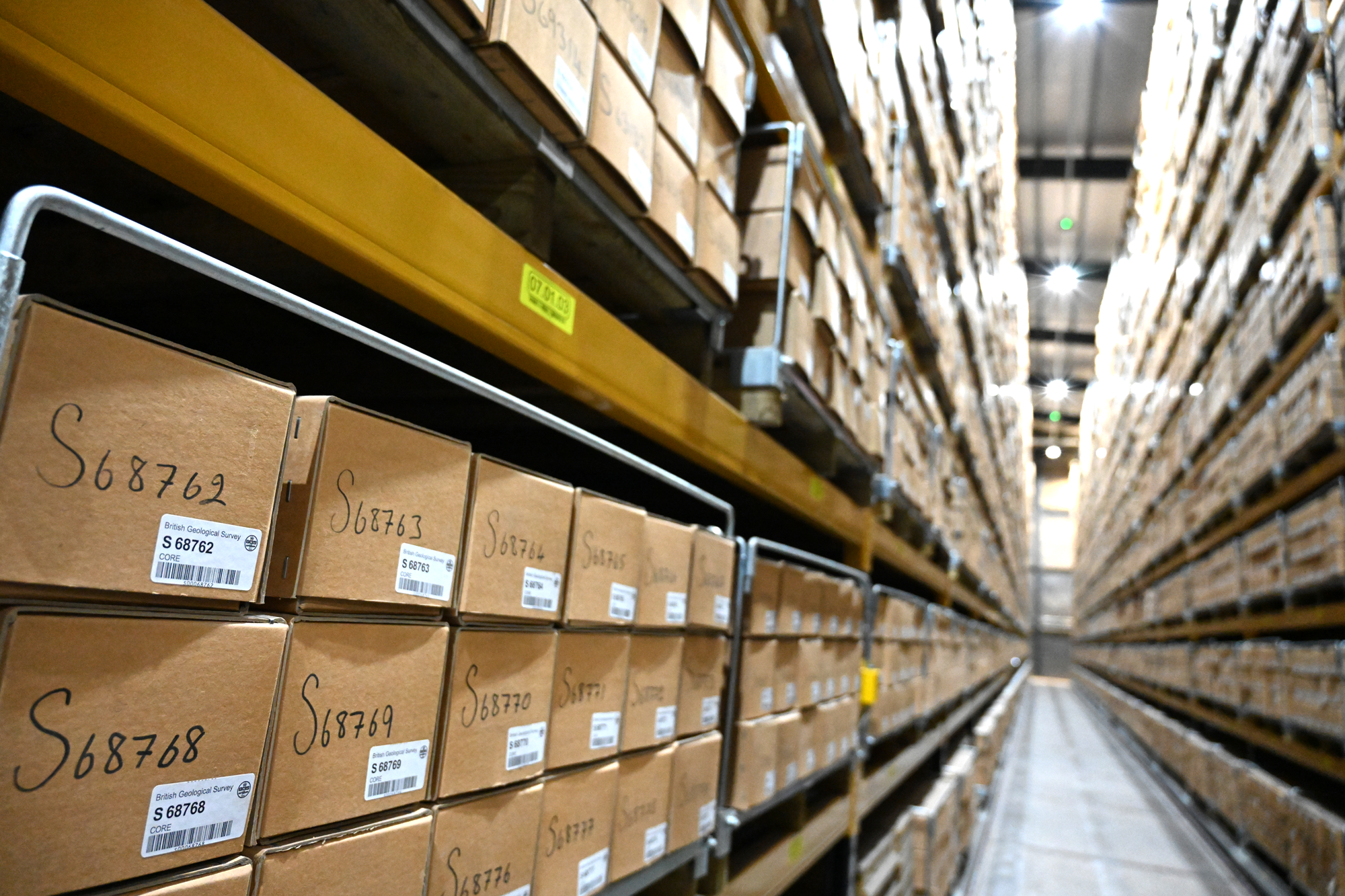
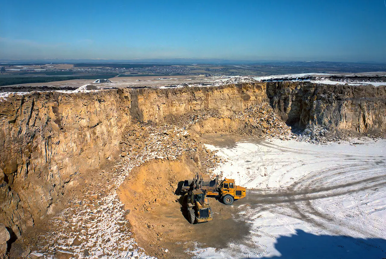
Why do we store geological core?
11/09/2025
With space at a premium and the advance of new digitisation techniques, why does retaining over 600 km of physical specimens remain of national importance?
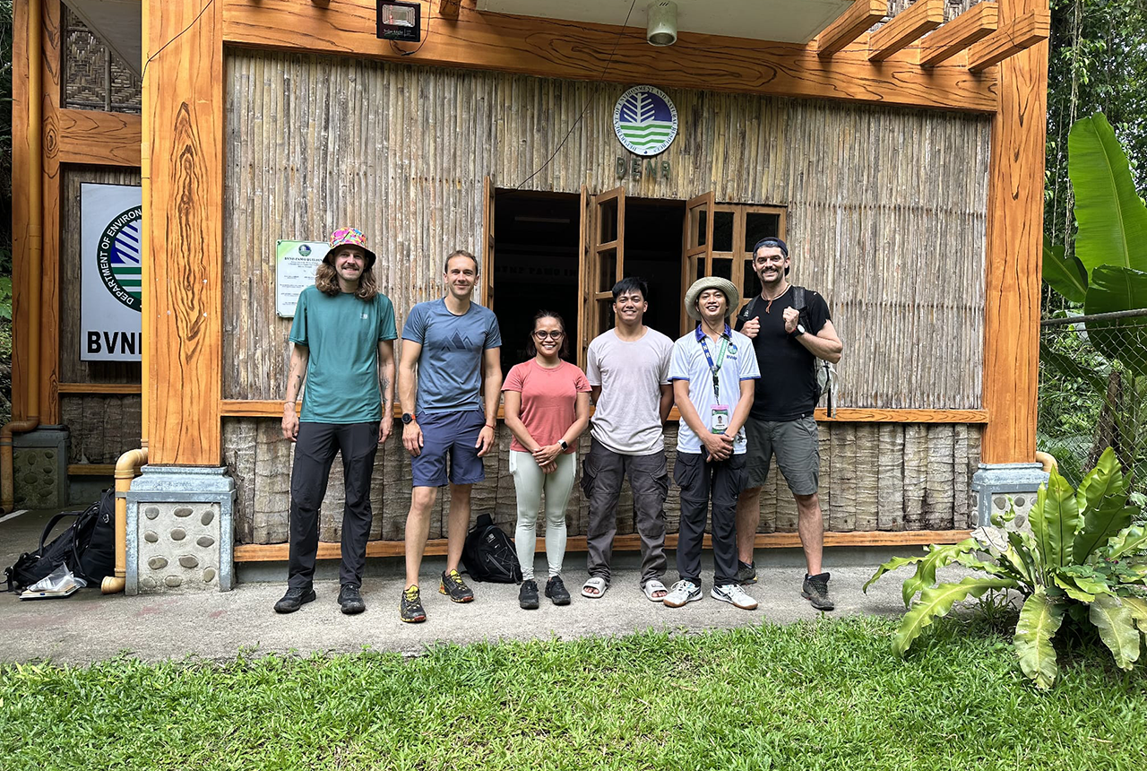
PhD adventures in the Philippines: coring around Lake Bulusan
05/09/2025
Chris Bengt recounts his two-week field trip to Bulusan Volcano Natural Park in the Philippines to collect lake sediment cores, fresh soil and water samples.

New seabed sediment maps reveal what lies beneath the waves
03/09/2025
Marine ecosystem science and offshore infrastructure will be boosted by a new dataset showing sediment composition across the UK continental shelf.