Latest

Delving deep into mountains for future water security
16/07/2026
A BGS-led project is using new water-tracing investigation methods, geophysics and modelling to understand how water moves from mountains to the lowlands, helping to improve water security for billions of people.

Updated national 3D model will determine the depth to the solid bedrock beneath our feet
13/07/2026
The BGS Superficial Deposit Thickness Model now includes an elevation model of geological rockhead for the first time, providing important data for civil engineers, geoscientists and environmental scientists.


Collecting beach pebbles: fun hobby but is it legal?
14/07/2026
The UK coastline will be inundated with keen holidaymakers this summer, many of whom will take a memento of their trip home in the shape of a pebble or two — but is it legal?
Explore more news
Browse all news and events by category

The importance of staff networks
18/03/2022
A sense of inclusivity in the workplace is essential for staff health and well-being. Staff networks can help this by bringing together people from a diverse group of backgrounds, as Romesh Palamakumbura explores.
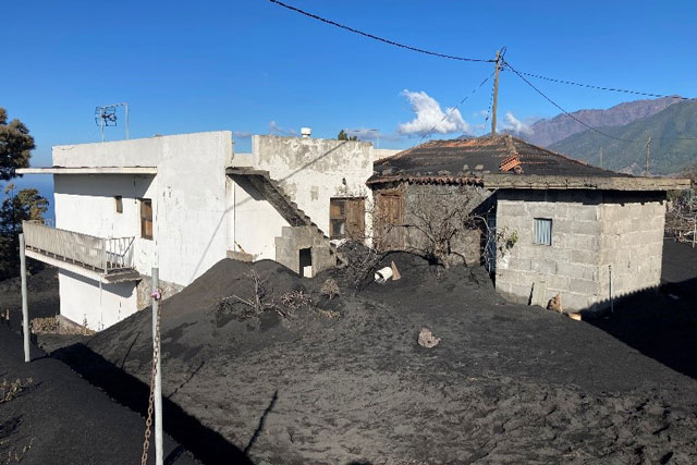
Building surveys in La Palma during the 2021 volcanic eruption
18/03/2022
In December 2021, BGS BUFI student Sara Osman visited La Palma in the Canary Islands to assess buildings damaged during the Cumbre Vieja volcanic eruption. In this blog, she talks about her experiences on the island.
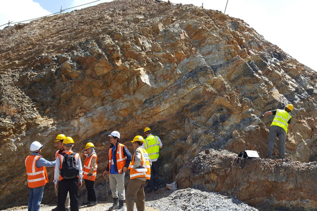
‘Significant opportunity’ for engineering geologists to increase influence on global sustainable development
15/03/2022
Engineering geologists have an essential role to play in meeting the UN's Sustainable Development Goals (SDGs).
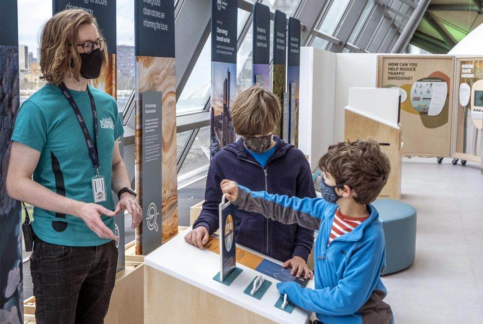
Clean Energy Beneath Our Feet launches at Glasgow Science Centre
13/03/2022
A new interactive exhibition has launched at Glasgow Science Centre, inspired by the work of the UK Geoenergy Observatories.
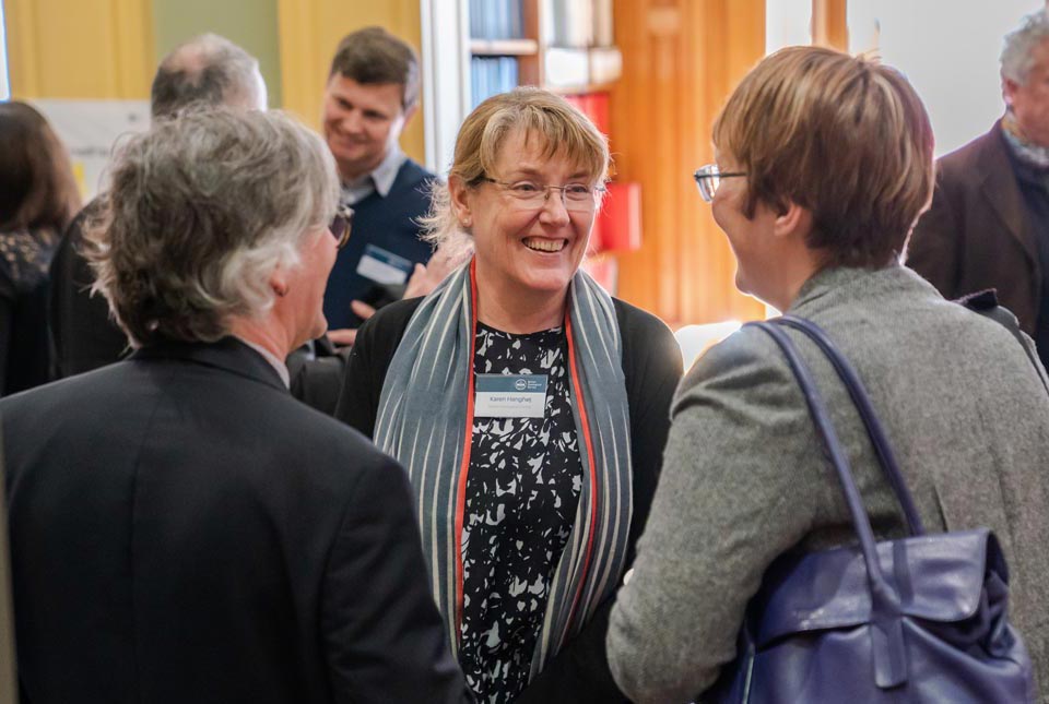
BGS Stakeholder Event 2022
Event on 31/03/2022
A recording of the British Geological Survey Stakeholder Event 2022 is now available to view online.
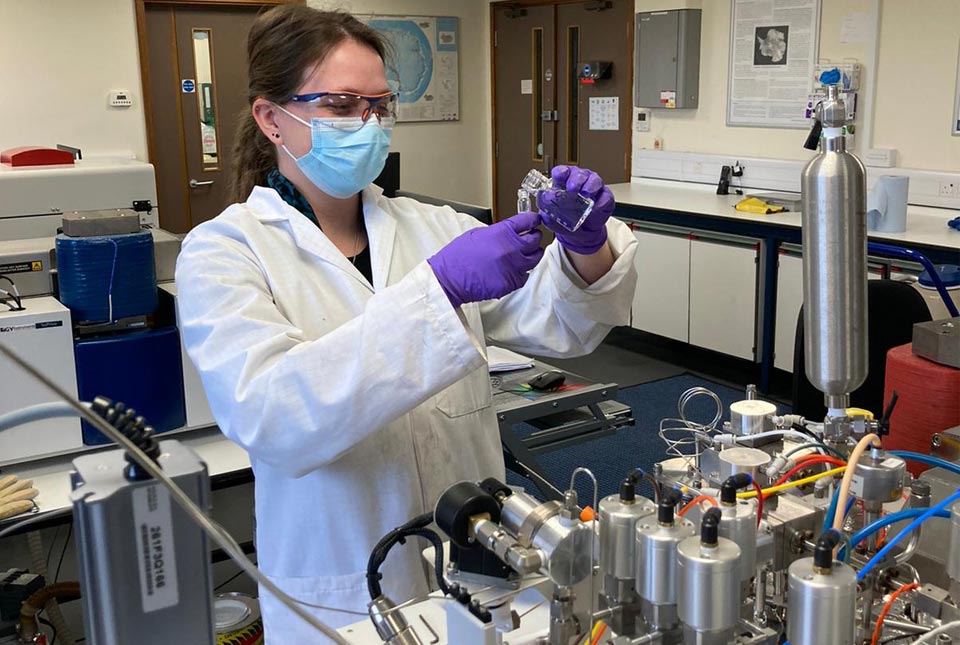
My role as a BGS Geochemistry Technician
08/03/2022
Kotryna Savickaite tells us about her new role as she settles in at BGS Keyworth.
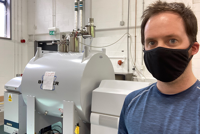
Understanding environmental impact through the study of sediments
23/02/2022
A new study aims to understand the range of organic molecules present in urban waterway sediments from different locations around the world.
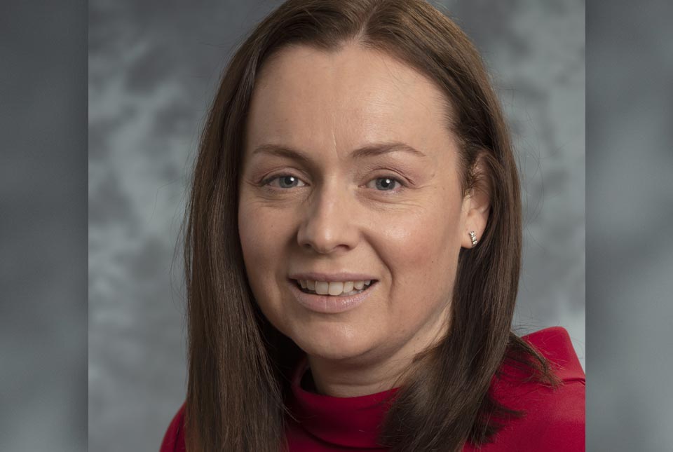
Michelle Bentham appointed BGS Chief Scientist for Decarbonisation and Resource Management
23/02/2022
Michelle is a geoscientist, with over 20 years of experience in the field of energy decarbonisation at BGS, with a focus on Carbon Capture and Storage.