

Latest
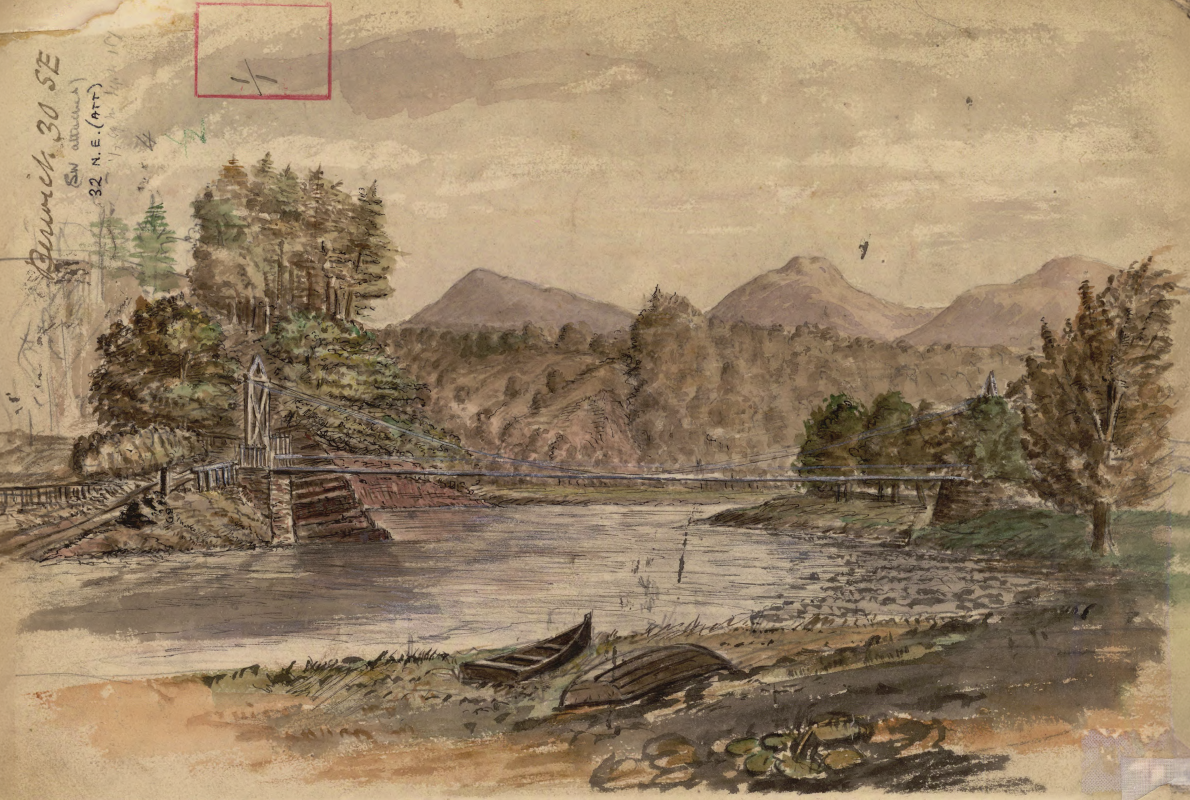
Historic watercolour unearthed on back of Dryburgh geological field map
05/10/2026
A 150-year-old painting of Dryburgh Suspension Bridge and the River Tweed offers an insight into the Scottish Borders landmark shortly after it was built in the 1870s.
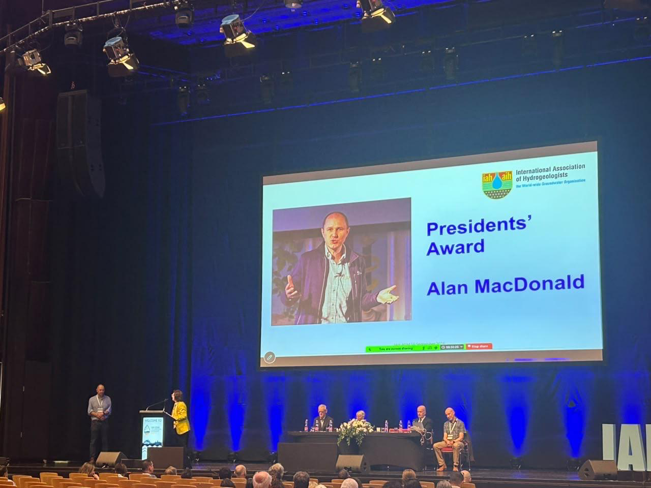
Professor Alan MacDonald presented with Presidents’ Award at 2026 World Groundwater Congress
21/09/2026
The BGS Head of Groundwater has been recognised with this prestigious award by the International Association of Hydrogeologists for his extensive contributions to groundwater science.
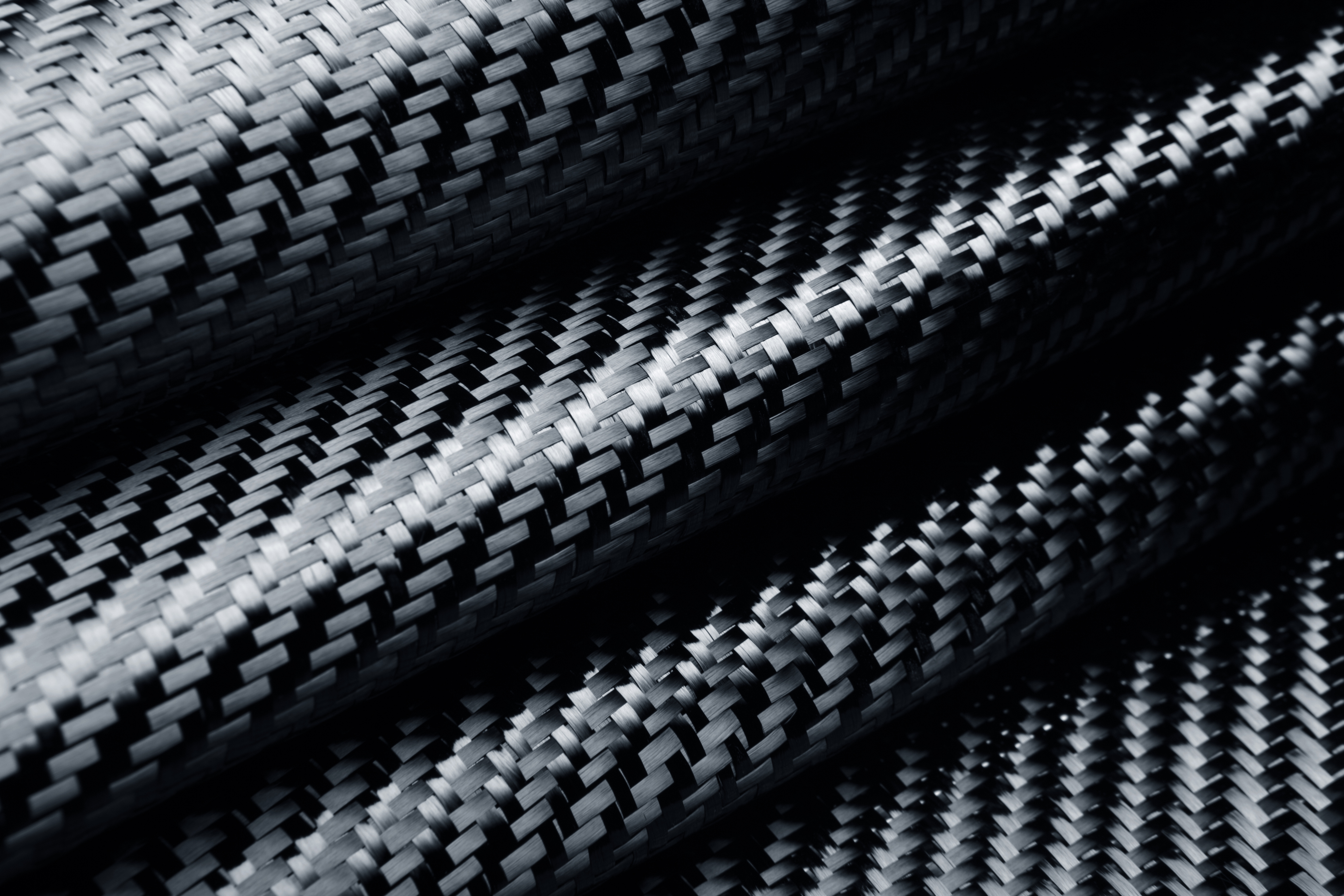
Measuring the environmental impacts of carbon fibre: life cycle assessment
01/09/2026
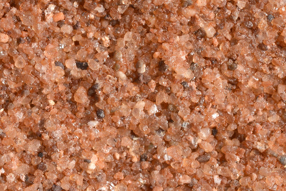
Undergraduate student Phoebe Brown visited BGS to understand the life cycle of carbon fibre, from primary production to recycling.
Explore more news
Browse all news and events by category
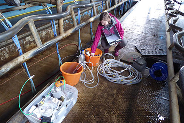
Risks from fracking to be studied by top UK research team
02/06/2018
A BGS-led research team is setting out to define the combined environmental and health risks over the whole life cycle of shale gas operations in the UK.
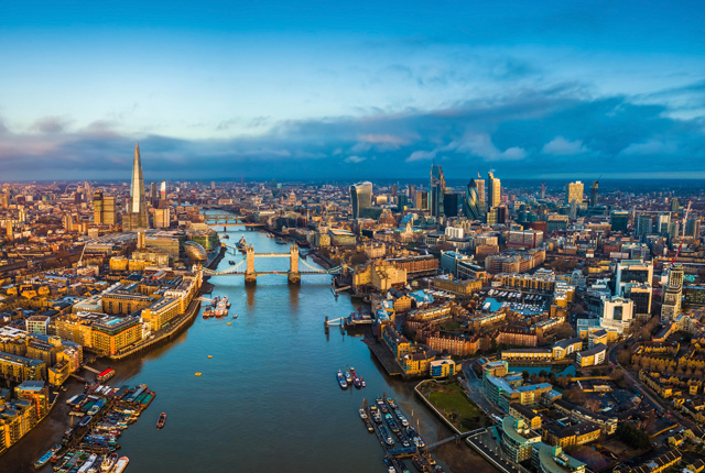
Community water management for a liveable London
02/06/2018
A research consortium including BGS will collaborate with partners and stakeholders within London to address sustainable management of the city's water within the context of required housing growth and the environment.
Courteenhall Bridge Exposure
08/09/2017
Bedrock exposed between mileage 60.0050 and 60.1630 on the southwest side of Roade cutting south of Courteenhall bridge). The outcrop is loose and unstable and located in the upper part of the slope.
Heavy metal and bacterial contamination of fish
08/09/2017
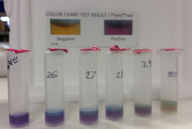
During summer 2016 Laura Hubbard undertook a project looking at heavy metal and bacterial contamination of fish sold in the UK.