Latest

New NERC-funded project empowers young people to engage with environmental science
23/07/2026
BGS is part of a new, collaborative project, funded through NERC’s ‘Opening up the environment’ programme, helping the environmental research community become more accessible.

Delving deep into mountains for future water security
16/07/2026
A BGS-led project is using new water-tracing investigation methods, geophysics and modelling to understand how water moves from mountains to the lowlands, helping to improve water security for billions of people.


Building Europe’s geological future
20/07/2026
BGS scientists are contributing to a continent-wide initiative that is strengthening collaboration across borders to tackle shared subsurface challenges and unlock new opportunities.
Explore more news
Browse all news and events by category
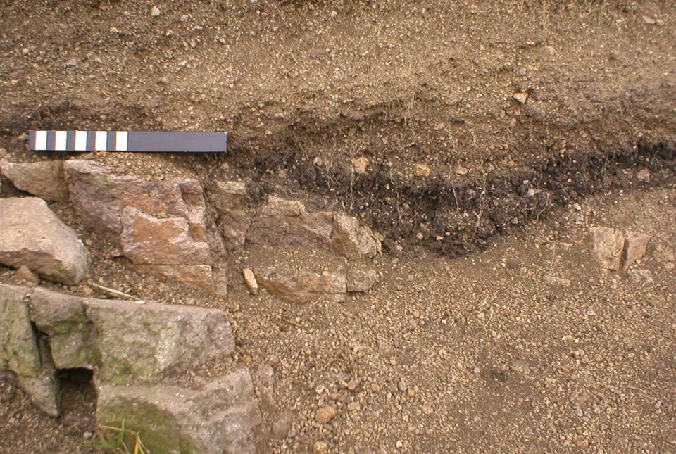
Understanding long-term burial of organic carbon deposits
07/11/2022
Carbon sequestration is one method of reducing the amount of carbon dioxide in the atmosphere, by capturing and storing it, contributing to climate change reduction.
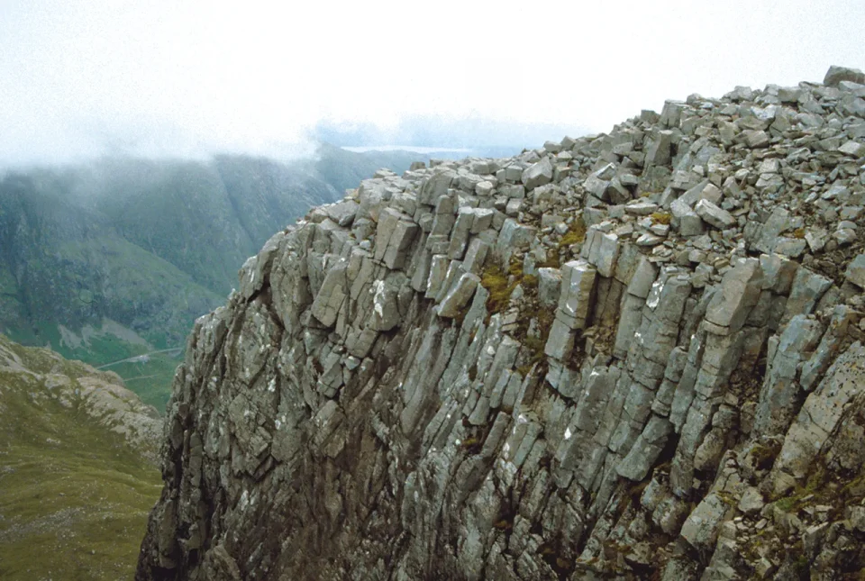
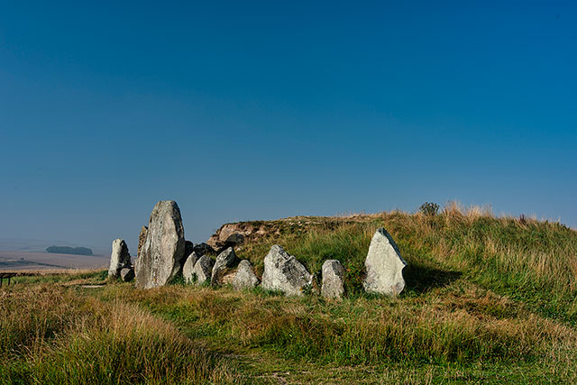
Spooky geology
31/10/2022
Explore thirteen of our favourite spooky geological hotspots around the UK.
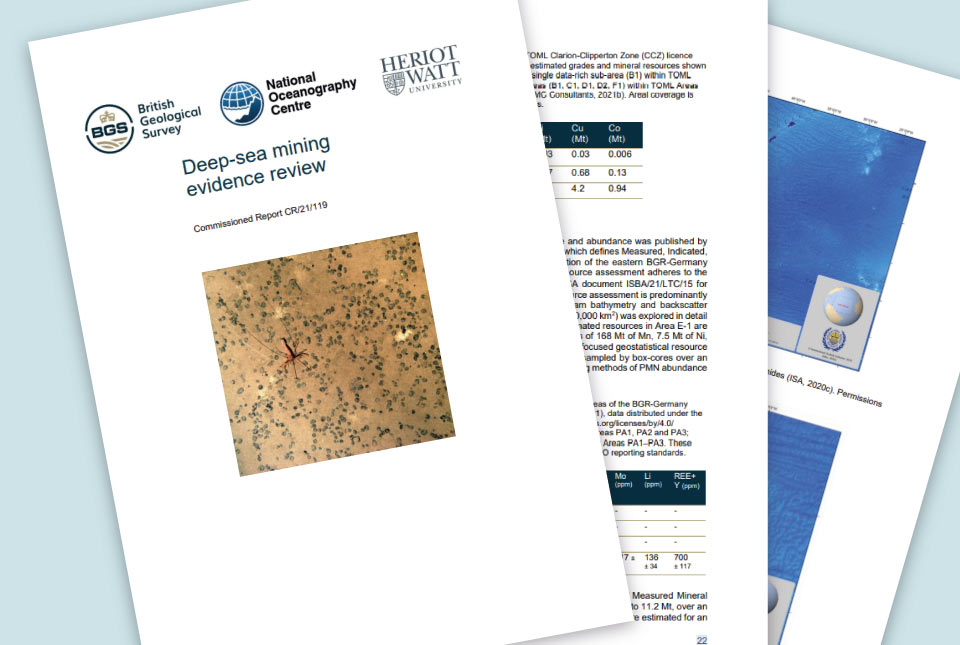
Deep-sea mining evidence review published
31/10/2022
The deep-sea mining independent evidence review report was commissioned by the UK Government to inform its policy in relation to deep-sea mining.
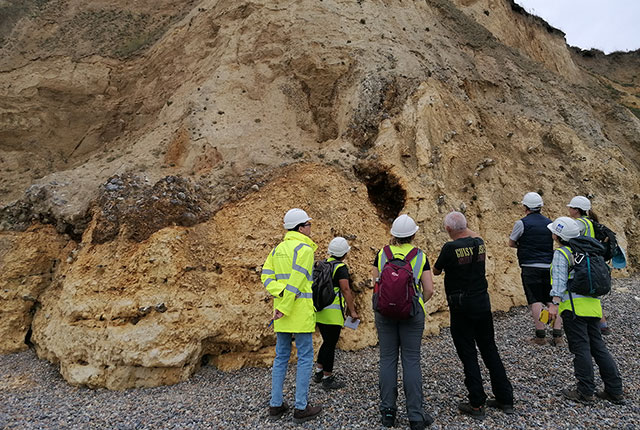
Notes from an applied glacial geology field course in Norfolk
28/10/2022
Marine geoscientist Catriona MacDonald and urban geologist Raushan Arnhardt share their experiences from a recent trip to north Norfolk to learn more about glacial geology.
New lead isoscape map for archaeological provenance studies in Great Britain
28/10/2022
A new study aims to determine lead isotope ratios in soil and rock across Great Britain which could inform future archaeological studies about human and animal origins.
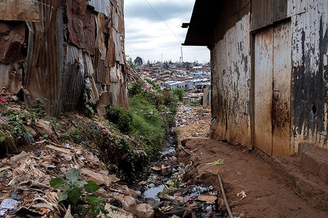
Accumulation of toxic substances in Nairobi’s river sediments
27/10/2022
Researchers have warned of the presence of toxic contaminants and untreated wastes accumulating in Nairobi’s Mathare, Ngong and Nairobi rivers.
Parts of UK listed among world’s most important geological sites
25/10/2022
Parts of Wales, Scotland and Northern Ireland have been named among 100 of the world’s most important geological sites by UNESCO and international scientists.
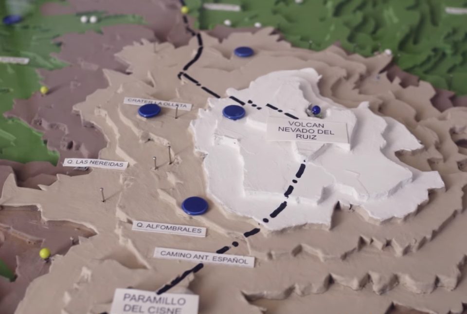
Film trilogy wins award and shares experiences of 1985 Nevado del Ruiz eruption
24/10/2022
A collaborative film trilogy co-directed by BGS Volcanologist, Dr Anna Hicks, has won the overall 'Dynamic Earth' Theme Award at the Earth Futures Festival 2022.