Latest

New NERC-funded project empowers young people to engage with environmental science
23/07/2026
BGS is part of a new, collaborative project, funded through NERC’s ‘Opening up the environment’ programme, helping the environmental research community become more accessible.

Delving deep into mountains for future water security
16/07/2026
A BGS-led project is using new water-tracing investigation methods, geophysics and modelling to understand how water moves from mountains to the lowlands, helping to improve water security for billions of people.


Building Europe’s geological future
20/07/2026
BGS scientists are contributing to a continent-wide initiative that is strengthening collaboration across borders to tackle shared subsurface challenges and unlock new opportunities.
Explore more news
Browse all news and events by category
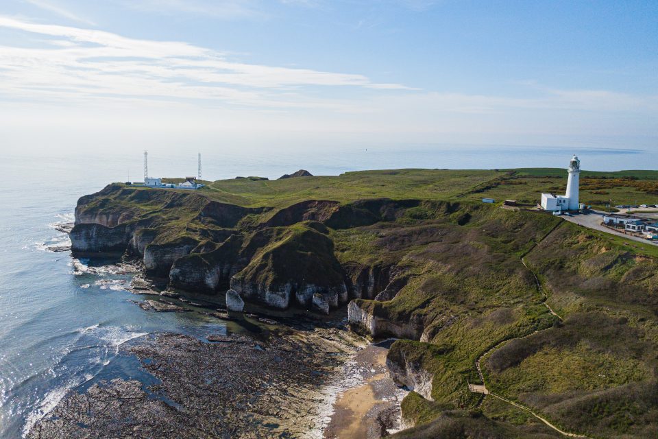
New seabed geology maps for offshore Yorkshire
14/03/2023
Offshore Yorkshire is the latest map to be released in BGS's series of fine-scale digital seabed maps.
New BGS karst report released for Hampshire and Wiltshire
10/03/2023
The report details the evidence for karst processes in areas of soluble rocks that have not previously been considered karstic.
Dr Corinna Abesser appointed BGS Policy Director
08/03/2023
Dr Abesser will be supporting BGS staff in the translation of their science outputs to inform policy and regulation as well as advising senior management on policy-related issues.
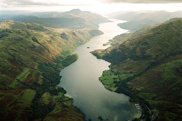
Below the bonnie banks: mapping Loch Lomond’s underwater landslides
07/03/2023
Using high-resolution, multibeam bathymetry and shallow seismic imaging, BGS’s marine geoscience and landslides teams are mapping historic landslides under the waters of Loch Lomond.
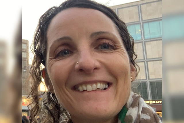
Melinda Lewis awarded prestigious Whitaker Medal for outstanding contribution to hydrogeology
01/03/2023
Melinda Lewis, BGS Honorary Research Associate, has been awarded the Geological Society Whitaker Medal, recognising outstanding long-term contributions to hydrogeology.
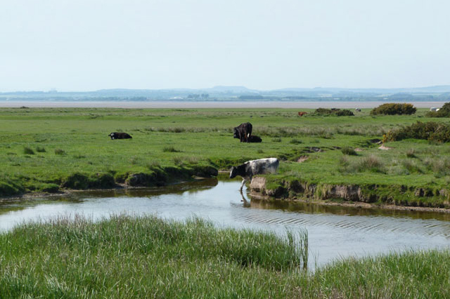
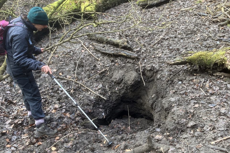
When did the cows come home?
23/02/2023
PhD student David Osborne is exploring Bronze Age animal husbandry using isotopes and X-rays.
BGS welcomes two new board appointments for 2023
22/02/2023
Prof Carol Frost, professor emerita of the faculty of geology and geophysics at the University of Wyoming, and Dr Jenny Pyper, former CEO of the Utility Regulator for Northern Ireland and interim head of the Northern Ireland Civil Service, will take up their positions on the BGS Board from 1 March 2023.
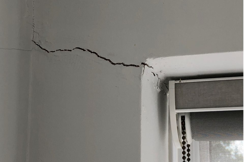
Six BGS datasets for assessing shrink–swell subsidence hazards
17/02/2023
Shrink–swell subsidence is one of the most significant geological hazards affecting the UK. BGS has six datasets to help assess the problem.