

Latest
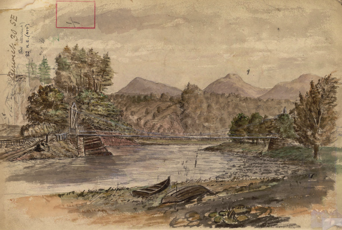
Historic watercolour unearthed on back of Dryburgh geological field map
05/10/2026
A 150-year-old painting of Dryburgh Suspension Bridge and the River Tweed offers an insight into the Scottish Borders landmark shortly after it was built in the 1870s.
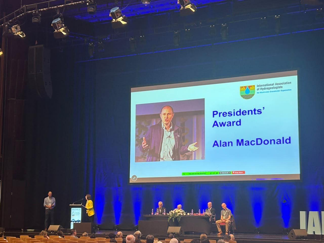
Professor Alan MacDonald presented with Presidents’ Award at 2026 World Groundwater Congress
21/09/2026
The BGS Head of Groundwater has been recognised with this prestigious award by the International Association of Hydrogeologists for his extensive contributions to groundwater science.
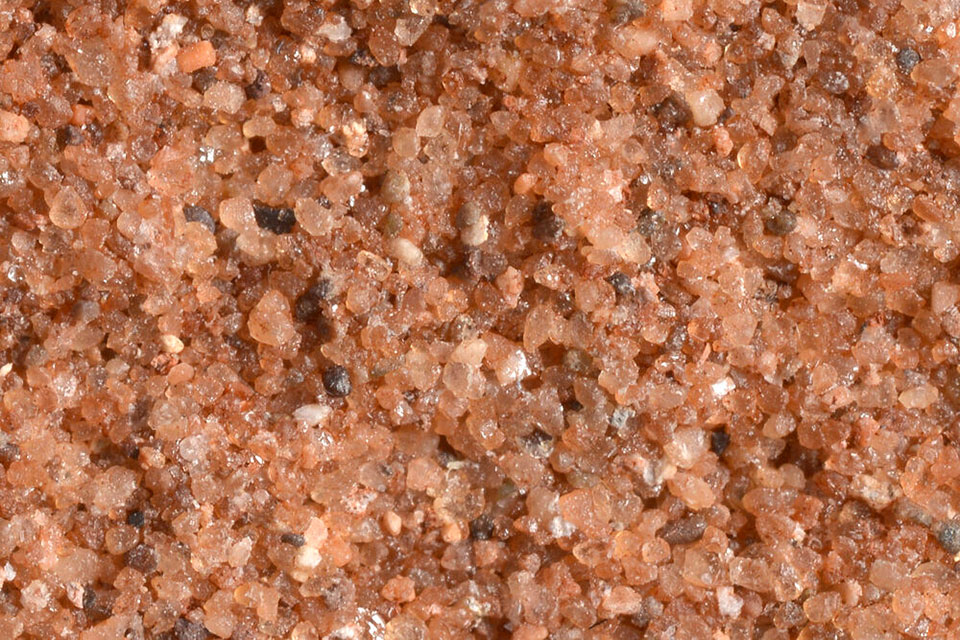

Measuring the environmental impacts of carbon fibre: life cycle assessment
01/09/2026
Undergraduate student Phoebe Brown visited BGS to understand the life cycle of carbon fibre, from primary production to recycling.
Explore more news
Browse all news and events by category

Dr Marie Cowan awarded the Energy Group Medal by the Geological Society
18/05/2023
This award is presented annually to individuals with a geoscience background who have made an outstanding contribution to the energy industry.

BGS appoints new members to Science Advisory Committee
17/05/2023
Four new members’ three-year terms begin in June 2023.
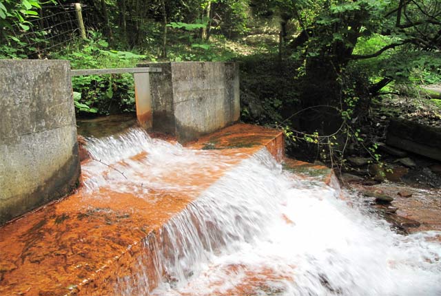
Collaboration, progress and emerging themes in mine-water heating, cooling and storage
17/05/2023
BGS, the Coal Authority and IEA Geothermal held the third Mine Water Energy Symposium to enhance collaboration and knowledge exchange around the world.
BGS Virtual Strategy Launch – Understanding our Earth
Event on 23/05/2023
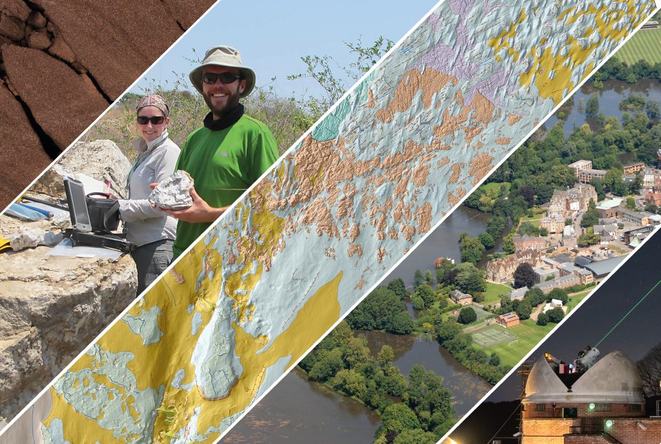
Join us online to learn more about our new BGS strategy 2023 to 2028 - Understanding our Earth
AGS file utilities tool: production release
16/05/2023
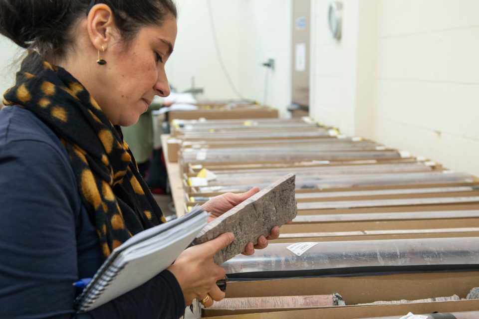
BGS’s online tool for validating AGS files against the official AGS data format rules and its own NGDC data submission requirements goes live.
BGS releases 10K maps through updated maps portal
16/05/2023
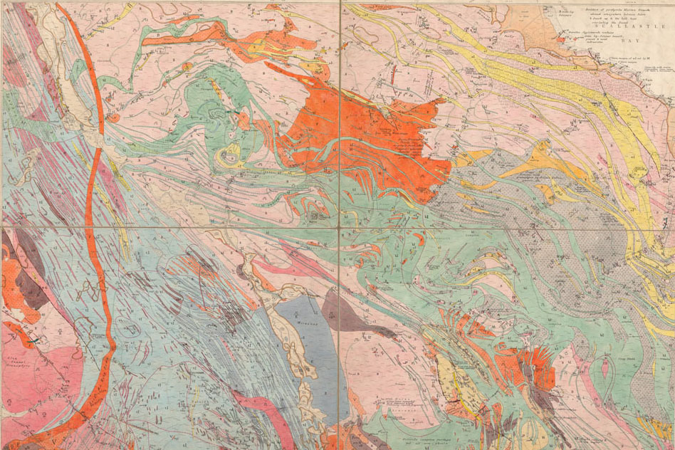
BGS releases an updated maps portal, which allows users to view all publicly available maps, and includes 10 000 and 1:10 560 scale maps for the first time.
BGS maps out priorities with five-year strategy
11/05/2023
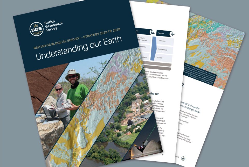
BGS publishes its new strategy for 2023 to 2028, 'Understanding our Earth'.
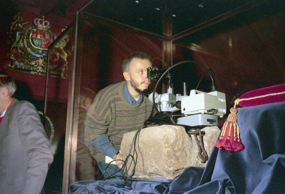
The Stone of Destiny
03/05/2023
The origins of the Stone of Scone: where it came from, why BGS has crumbs of it in its collections and the little-known fact that it is upside down.