Latest
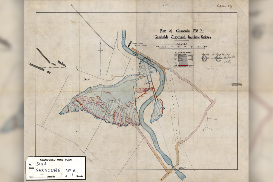
Release of over 500 Scottish abandoned-mine plans
24/06/2025
The historical plans cover non-coal mines that were abandoned pre-1980 and are available through BGS's plans viewer.
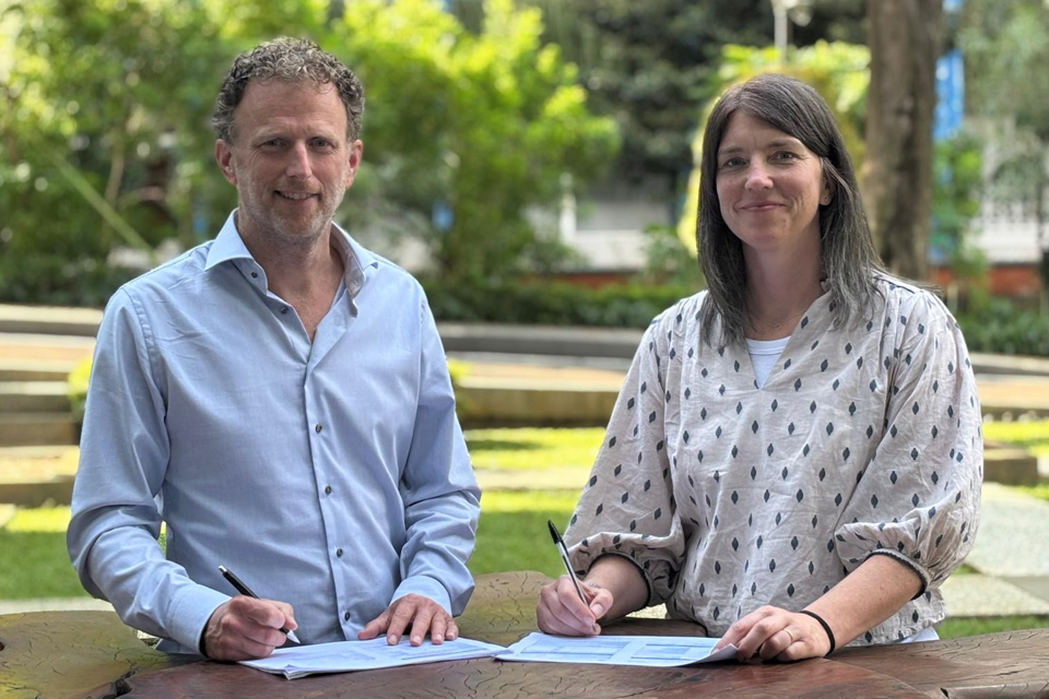
New collaboration aims to improve availability of real-time hazard impact data
19/06/2025
BGS has signed a memorandum of understanding with FloodTags to collaborate on the use of large language models to improve real-time monitoring of geological hazards and their impacts.
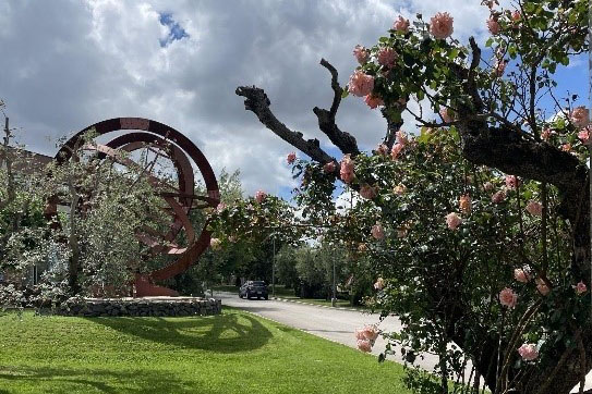
AI and Earth observation: BGS visits the European Space Agency
02/07/2025
The newest artificial intelligence for earth science: how ESA and NASA are using AI to understand our planet.
Explore more news
Browse all news and events by category
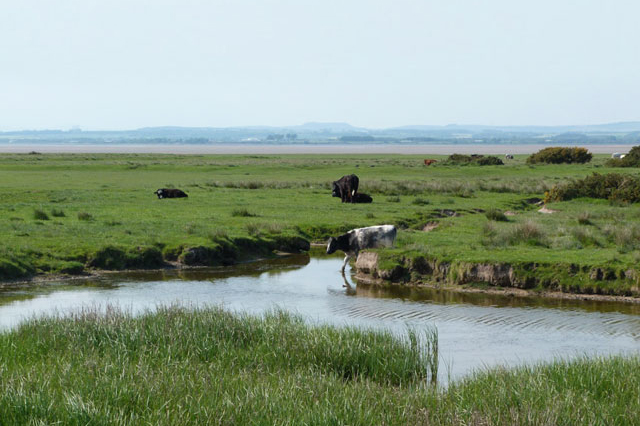
When did the cows come home?
23/02/2023
PhD student David Osborne is exploring Bronze Age animal husbandry using isotopes and X-rays.
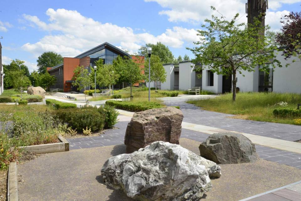
BGS welcomes two new board appointments for 2023
22/02/2023
Prof Carol Frost, professor emerita of the faculty of geology and geophysics at the University of Wyoming, and Dr Jenny Pyper, former CEO of the Utility Regulator for Northern Ireland and interim head of the Northern Ireland Civil Service, will take up their positions on the BGS Board from 1 March 2023.
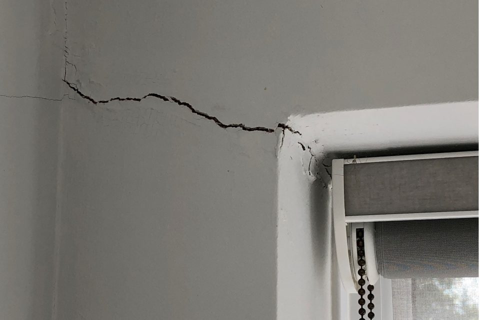
Six BGS datasets for assessing shrink–swell subsidence hazards
17/02/2023
Shrink–swell subsidence is one of the most significant geological hazards affecting the UK. BGS has six datasets to help assess the problem.
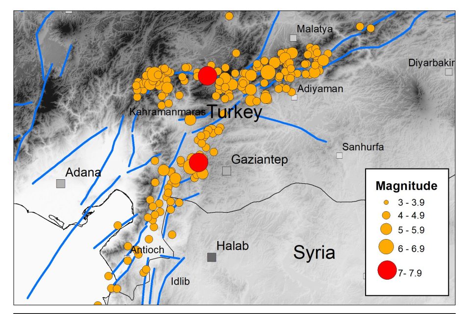
The Kahraman Maraş earthquake sequence, Turkey/Syria, 2023
14/02/2023
Two large earthquakes occurred within hours of each other on 6 February 2023.
Property subsidence assessment: helping to mitigate shrink–swell hazard risk
25/01/2023
The BGS Property Subsidence Assessment dataset provides insurers and homeowners with tools to better understand shrink–swell and the risk it poses to homes and businesses.
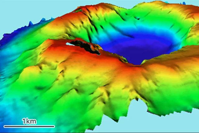
One year on: reflections on the Hunga Tonga-Hunga Ha’apai volcanic eruption
18/01/2023
The eruption of the Hunga Tonga-Hunga Ha'apai Volcano in January 2022 has highlighted a global unpreparedness for the impacts from large-scale global events.
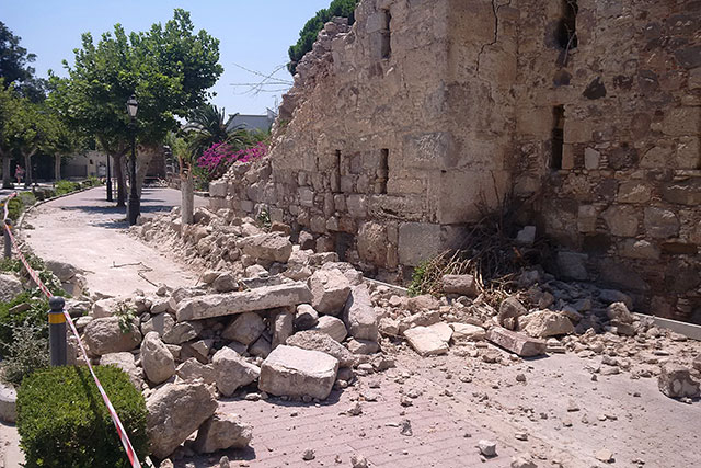
MYRIAD-EU: shifting the paradigm in disaster risk management
17/01/2023
How changing our approach to disaster risk reduction practices can create a more resilient future.
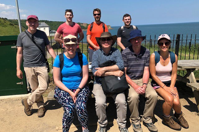
Five places in Yorkshire to assess key geological hazards
21/12/2022
A field trip to Yorkshire has helped our data products team improve their output.


