Latest
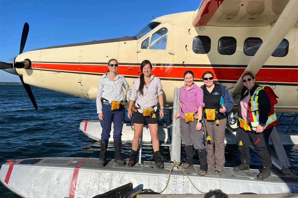
Funding awarded to UK/Canadian critical mineral research projects
08/07/2025
BGS is part of a groundbreaking science partnership aiming to improve critical minerals mining and supply chains.
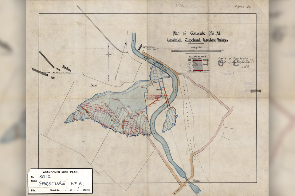
Release of over 500 Scottish abandoned-mine plans
24/06/2025
The historical plans cover non-coal mines that were abandoned pre-1980 and are available through BGS's plans viewer.
AI and Earth observation: BGS visits the European Space Agency
02/07/2025
The newest artificial intelligence for earth science: how ESA and NASA are using AI to understand our planet.
Explore more news
Browse all news and events by category
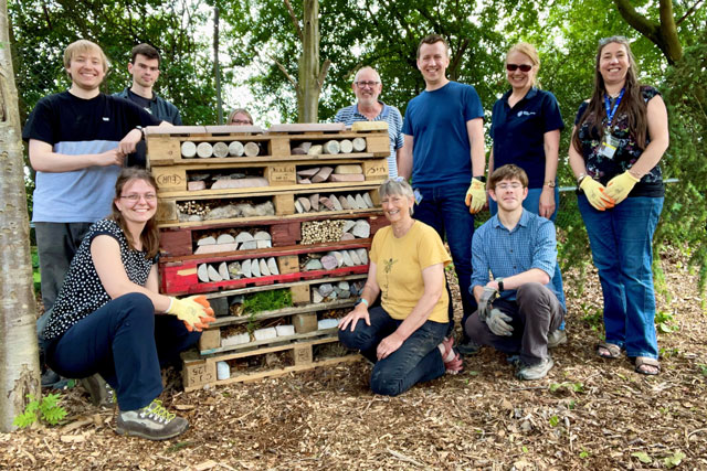
Six ways we’re improving recycling at BGS Keyworth
24/03/2023
Sustainability at the BGS site in Keyworth, Nottingham, is being improved by recycling, managing our waste, making our labs more efficient and more...

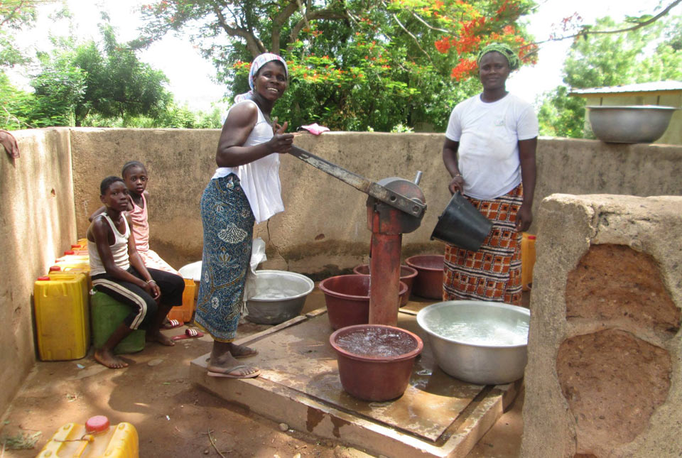
World Water Day 2023: groundwater photo stories
22/03/2023
A showcase of groundwater use from around the world highlighting how developing groundwater has benefited the lives of many people.
A tale of two groundwaters
21/03/2023
Why the United Nations 2023 Water Conference needs to know more about groundwater.
UK Geoenergy Observatories — open events in Glasgow
Event from 26/04/2023 to 27/04/2023
You are invited to visit the UK Geoenergy Observatory in Glasgow, to find out more about what the facility can offer you as a potential user.
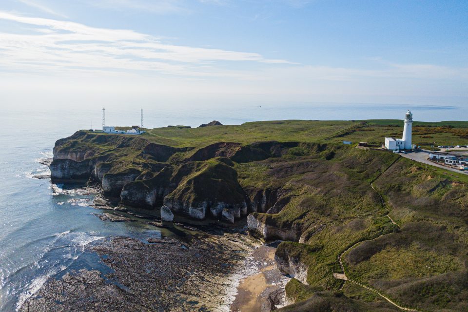
New seabed geology maps for offshore Yorkshire
14/03/2023
Offshore Yorkshire is the latest map to be released in BGS's series of fine-scale digital seabed maps.
New BGS karst report released for Hampshire and Wiltshire
10/03/2023
The report details the evidence for karst processes in areas of soluble rocks that have not previously been considered karstic.
Dr Corinna Abesser appointed BGS Policy Director
08/03/2023
Dr Abesser will be supporting BGS staff in the translation of their science outputs to inform policy and regulation as well as advising senior management on policy-related issues.
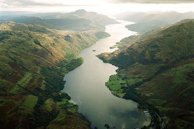
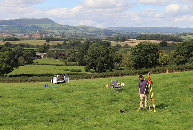
Below the bonnie banks: mapping Loch Lomond’s underwater landslides
07/03/2023
Using high-resolution, multibeam bathymetry and shallow seismic imaging, BGS’s marine geoscience and landslides teams are mapping historic landslides under the waters of Loch Lomond.