Land-to-lake micronutrient transfer in east Africa
Sophia shares her experience from her first year as a PhD student with the Inorganic Geochemistry Facility
18/03/2021 By BGS Press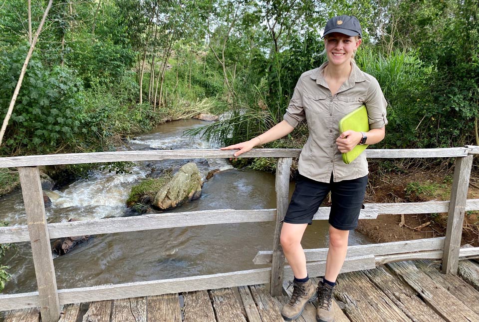

The first year of my PhD has been very exciting, although not without its challenges. In November 2019, one month into my PhD, I travelled to Kenya for the first time. This fieldwork provided initial training in sample collection via the Geochemistry and health in the Kenyan Rift Valley project. With the help of our counterparts at the University of Eldoret, I had the opportunity to scope out some potential experimental soil erosion plots in the Oroba Valley, Nandi County, western Kenya (Figure 1).
The escarpment area of western Kenya is rapidly being converted from native forest into farmland, with the Oroba valley representing differing time periods for land clearance between one and more than 80 years. It was clear from our visit that the local residents were feeling the effect of soil erosion in the area, with one family having recently lost their crop due to heavy rainfall washing away the terraces they had built earlier in the year. This land degradation is not only devastating for the farmers in the area, but the soil also has the potential for loss of nutrients and transfer of metals into the river catchment, with consequences for aquatic biogeochemistry in the Winam Gulf of Lake Victoria.
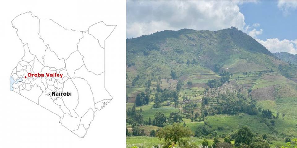
Figure 1 The Oroba valley, Nandi country, Kenya.
The analysis of these pilot samples indicated that the valley would be an ideal area to model soil erosion processes occurring over differing timescales, within the Lake Victoria catchment. In March, I travelled back to Kenya with Dr Olivier Humphrey to revisit the Oroba valley and begin reference site sampling. During this trip I also had the opportunity to scout out some interesting areas with differing land management practices, for more intensive soil erosion plots in the future.
Unfortunately, this field trip had to be cut short by a couple of days because of the global lockdown due to COVID-19 and a need to return to the UK. However, I was fortunate enough to have collected the planned 10 soil cores to a depth of 30 cm (Figure 2) enabling me to continue work through the summer and autumn of 2020.
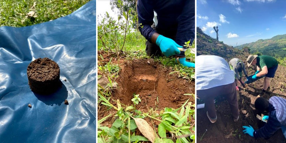
Figure 2 Soil core sampling for the determination of radionuclide inventory.
This summer has been somewhat mixed: the lockdown has not enabled me to undertake follow-up fieldwork in June and October, yet I have been able to progress with the laboratory analyses. These included chemical analyses of the samples, with emphasis on gamma spectroscopy to determine the radionuclide inventories of both Cs-137 and unsupported Pb-210 in the collected soil cores.
The data can then be used to determine the extent of soil redistribution processes. The use of these radionuclides as soil erosion tracers have limitations in the southern hemisphere, so I am investigating the possibility of using Pu-239 and Pu-240 as alternative tracers of soil redistribution. To do this, alongside members of the BGS Inorganic Geochemistry team, I will be developing a working method for the pre-concentration and rapid analysis of plutonium isotopes on the inductively coupled plasma mass spectrometer. This will then allow me to determine the best method for quantifying soil redistribution processes and relate the extent of soil erosion with the soil-micronutrient losses and ultimately soil land-to-lake transfers of metals/nutrients to the Lake Victoria catchment.
This work is a progression from previous geochemistry and health work in western Kenya and is interlinked with a Royal Society international collaboration through to 2022 to identify lake-to-land transfers resulting from land-use changes and soil erosion, subsequent impacts on fisheries and the growing aquaculture industry in Lake Victoria. Ultimately, this work will inform consequences for agricultural productivity, nutritional potential of staple foods and aquatic biogeochemistry, with a link to mitigation steps tested by colleagues in Tanzania.
About the author
My name is Sophia and I am a BUFI PhD student based within the BGS Inorganic Geochemistry Facility in Keyworth. My research is entitled ‘Micronutrient and pollution transfer in east African lake catchments‘. This PhD is in partnership with the University of Plymouth and is funded by the NERC ARIES doctoral training programme. Before beginning my PhD, I completed a BSc in chemistry at the University of Surrey, during which I completed a placement year within the BGS Inorganic Geochemistry team (see my previous blog) and this is what first sparked my interest in environmental geochemistry.
Relative topics
Latest blogs

Building Europe’s geological future
20/07/2026
BGS scientists are contributing to a continent-wide initiative that is strengthening collaboration across borders to tackle shared subsurface challenges and unlock new opportunities.

Collecting beach pebbles: fun hobby but is it legal?
14/07/2026
The UK coastline will be inundated with keen holidaymakers this summer, many of whom will take a memento of their trip home in the shape of a pebble or two — but is it legal?

Strengthening capacity through partnership: a critical minerals perspective
28/04/2026
BGS has been working in partnership with the Geological Survey Department of Zambia (GSD) to build national capacity, improve data accessibility and support long-term, sustainable development.

PhD adventures in Copenhagen, Denmark: revealing past recovery processes of tropical forest systems through ancient environmental DNA
12/03/2026
PhD student Chris Bengt visited the University of Copenhagen to carry out very delicate extraction of aeDNA from lake-sediment cores, in the hopes of unlocking the secrets of past volcanic eruptions.

MARC Conference 2025: highlighting the importance of conferences to PhD students
16/02/2026
BGS and University of Nottingham PhD student Paulina Baranowska shares her experience presenting her research on nuclear forensics at her first international conference.

Hole-y c*@p! How bat excrement is sculpting Borneo’s hidden caves
23/12/2025
BGS researchers have delved into Borneo’s underworld to learn more about how guano deposited by bats and cave-dwelling birds is shaping the subsurface.

How the geology on our doorstep can help inform offshore infrastructure design
19/11/2025
BGS is part of a new collaboration using onshore field work to contextualise offshore data and update baseline geological models which can inform the sustainable use of marine resources.

Fieldwork on Volcán de Fuego
13/10/2025
Understanding how one of the world’s most active volcanoes builds up material, and how they collapse to feed hot flows
Esthwaite Water: applying novel approaches to understand lake-water nutrient pollution
19/09/2025
Andi Smith (BGS) and Savannah Worne (Loughborough University) embarked on fieldwork in the Lake District, applying a novel stable isotope method for tracing phosphorus sources.

Opening up the geosciences: making work experience more accessible
19/09/2025
BGS has been working with partners to make the geosciences more accessible to young people, including those from under-represented backgrounds.
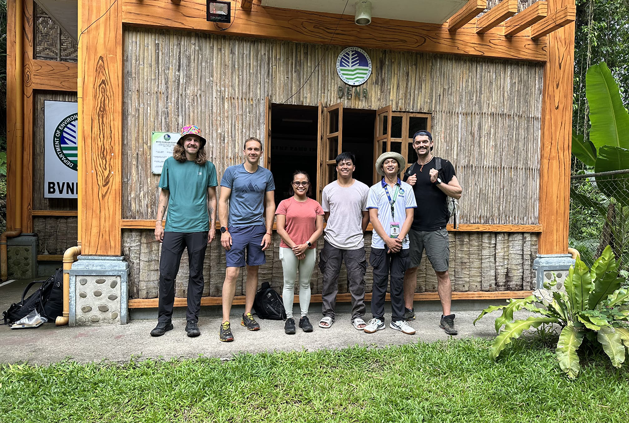
PhD adventures in the Philippines: coring around Lake Bulusan
05/09/2025
Chris Bengt recounts his two-week field trip to Bulusan Volcano Natural Park in the Philippines to collect lake sediment cores, fresh soil and water samples.
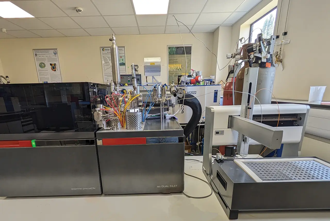
Gemini: a new stable isotope tool
21/08/2025
BGS’s Stable Isotope Facility has new mass spectrometer equipment for analysing carbon and oxygen isotopes from carbonates and water.
Footnotes
1. extent of soil redistribution processes
D. E. Walling, A. L. Collins, and H. M. Sichingabula, “Using unsupported lead-210 measurements to investigate soil erosion and sediment delivery in a small Zambian catchment,” Geomorphology, vol. 52, no. 3–4, pp. 193–213, Jun. 2003
2. alternative tracers of soil redistribution
C. Alewell, A. Pitois, K. Meusburger, M. Ketterer, and L. Mabit, “239 + 240Pu from ‘contaminant’ to soil erosion tracer: Where do we stand?,” Earth-Science Rev., vol. 172, no. July, pp. 107–123, 2017
3. mitigation steps tested by colleagues in Tanzania
W. H. Blake et al., “Soil erosion in East Africa: An interdisciplinary approach to realising pastoral land management change,” Environ. Res. Lett., vol. 13, no. 12, 2018