BGS joins the UK Centre for Seabed Mapping to raise data and mapping standards
BGS is the latest UK Government organisation to join the newly unveiled UK Centre for Seabed Mapping, helping to boost marine data and mapping standards.
25/08/2022 By BGS Press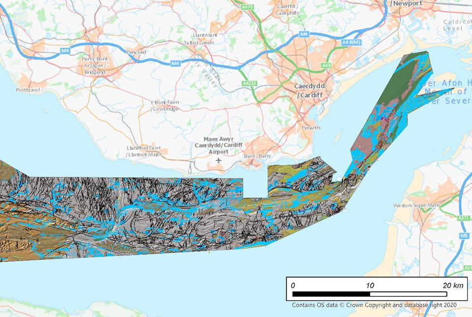

BGS is one of the latest Government organisations to join the newly unveiled UK Centre for Seabed Mapping (UK CSM), helping to boost marine data and mapping standards.
The UK CSM is a new initiative designed to increase the global coverage, quality and accessibility of seabed mapping data through national collaboration. The centre is administered by the UK Hydrographic Office (UKHO) and it aims to support a more integrated marine geospatial sector for the UK.
Quality marine geospatial data is essential for almost every activity undertaken in the marine domain, including:
- maritime trade
- environmental and resource management
- shipping operations
- national security and infrastructure
BGS has signed a memorandum of understanding (MoU) with UKHO on behalf of UK CSM, outlining UKHO’s commitment to being a member of UK CSM. Under the agreement, BGS will work collaboratively with a number of UK Government organisations in a coordinated approach to the collection, management and access of seabed mapping data.

UK CSM and its coordinated approach is essential to enable a more unified voice and raise the profile of seabed mapping.
BGS has a rich history of managing marine data and seabed geological mapping. This this partnership will ensure UK CSM benefits from impartial geological expertise, data and information to help increase the coverage, quality and access of seabed mapping data collected both by public funded projects and through industry. This will significantly improve future understanding of the UK seabed.
Mary Mowat, BGS Data Manager.
The MoU sets out ways of working between BGS and UKHO/UK CSM to support the UK CSM’s activity and describes key areas for collaboration, including data sharing, information reporting and policy input.
The core focus of the partnership will be bathymetry, and its associated data, in order to improve the foundation dataset within the marine environment. The partnership will also provide opportunities to collaborate around other elements of seabed mapping through coordination and data sharing, whilst working towards more unified data collection standards.
It is anticipated that UK CSM will also provide a forum to stimulate and promote further application of seabed data, e.g. geological mapping of the seabed, which is becoming a key resource to underpin activities like offshore renewable development, potential carbon capture and storage (CCS) projects and the management of dynamic marine ecosystems.
Dayton Dove, BGS Marine Geologist.
BGS will also contribute to some of UK CSM’s three newly established working groups, which include national data collaboration, international data collaboration, and data collection standards.
BGS manages marine data, information and material as part of the National Geoscience Data Centre (NGDC), the Marine Environment Data and Information Network (MEDIN) geology and geophysics data archive centre (DAC) and the National Geological Repository (NGR).
Further reading
- BGS marine data webpages
- View BGS geological maps and access data via the Offshore GeoIndex
- Access bathymetry data via the ADMIRALTY Marine Data Portal
- Find and access all types of UK marine data via the central MEDIN Portal
Contact the BGS Press Team via:
Telephone: +44 (0)7790 607 010
(Please note this number does not accept text messages)
Email: bgspress@bgs.ac.uk
Our press office runs an out-of-hours service and will respond to your enquiry as soon as we can. If you are not a member of the media, please contact general enquiries on 0115 936 3143 or email enquiries@bgs.ac.uk
Relative topics
Related news

Updated geological assessment of the Southern North Sea set to underpin future offshore infrastructure development
25/03/2026
The first regional assessment for 30 years will support offshore marine and subsurface planning for the UK’s low-carbon energy infrastructure, including the 2030 target of 45 to 50 GW generated through offshore wind.

New research could help provide a more reliable water supply for millions in rural Africa
24/03/2026
A new BGS-led study has revealed crucial insights into the longstanding challenges affecting the reliability and performance of rural water supply infrastructure in sub-Saharan Africa.

Call for new members and Chair to join the NERC facilities steering committees
25/02/2026
New members are needed to join the committees over the next four years.

Your views wanted: developing a geothermal energy subsurface data portfolio
24/02/2026
BGS is aiming to support the growth of the sector by providing the best-available, location-specific geothermal and ground source heat information as an accessible product or service.

Map of BGS BritPits showing the distribution of worked mineral commodities across the country
18/02/2026
BGS’s data scientists have generated a summary map of the most commonly extracted mineral commodities by local authority area, demonstrating the diverse nature of British mineral resources.

Funding awarded to map the stocks and flows of technology metals in everyday electronic devices
12/02/2026
A new BGS project has been awarded Circular Electricals funding from Material Focus to investigate the use of technology metals in everyday electrical items.

New UK/Chile partnership prioritises sustainable practices around critical raw materials
09/02/2026
BGS and Chile’s Servicio Nacional de Geología y Minería have signed a bilateral scientific partnership to support research into critical raw materials and sustainable practices.

Extensive freshened water confirmed beneath the ocean floor off the coast of New England for the first time
09/02/2026
BGS is part of the international team that has discovered the first detailed evidence of long-suspected, hidden, freshwater aquifers.

Funding secured to help mitigate ground risk in UK construction sector
05/02/2026
The BGS Common Ground project has been awarded new funding to help unlock the value of ground investigation data.

Can sandstones under the North Sea unlock the UK’s carbon storage potential?
02/02/2026
For the UK to reach its ambitious target of storing 170 million tonnes of carbon dioxide per year by 2050, it will need to look beyond the current well-studied geographical areas.

Quaternary UK offshore data digitised for the first time
21/01/2026
The offshore wind industry will be boosted by the digitisation of a dataset showing the Quaternary geology at the seabed and the UK’s shallow subsurface.

Suite of ten new soil reference materials released
02/01/2026
BGS has a longstanding track record of producing high-quality reference materials and has released ten new soil reference materials.