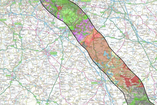
BGS Civils is a suite of national maps of engineering properties based on geological data and the digital 1:50 000-scale geological map (BGS Geology 50K). The primary goal of the product is to provide the key engineering characteristics of the geology of Great Britain to professional users who need simple and rapid access to such information. The data is provided as GIS shapefiles that are available to licence individually or as a bundle to meet your own requirements.
BGS Civils comprises eight layers:
- bulking volume
- corrosivity (ferrous)
- discontinuities
- engineered fill
- excavatability
- foundation conditions
- strength
- sulfate/sulfide
You may also be interested in

Product development
Producing a broad range of geological data and information, including digital mapping, for all stakeholders.

Digital geoscience
The BGS is a data-rich organisation. Our data science and data infrastructure are fundamental to our future research and underpin our strategic challenges.

