

Datasets

These are our most popular and influential datasets. For a comprehensive list of all BGS data, please visit the BGS Metadata Catalogue
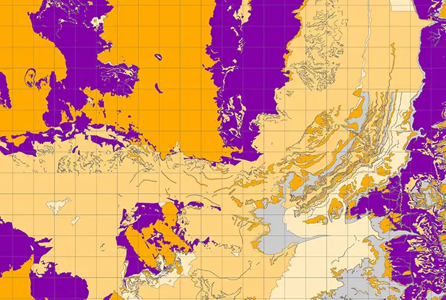
The aquifer designation dataset reflects the importance of aquifers in England and Wales as a resource and their role in supporting surface water flows and wetland ecosystems.
- Open / Premium
- 1:50 000
- England and Wales
 Data Preview
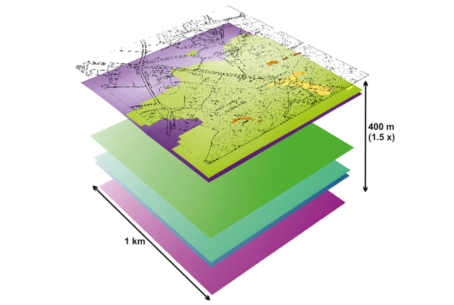
Data outputs from 3D geological framework models are available at three different scales for parts of the onshore area of Great Britain.
- Open / Premium
- Varied
- Great Britain (partial coverage)
Data Preview
 Data Preview
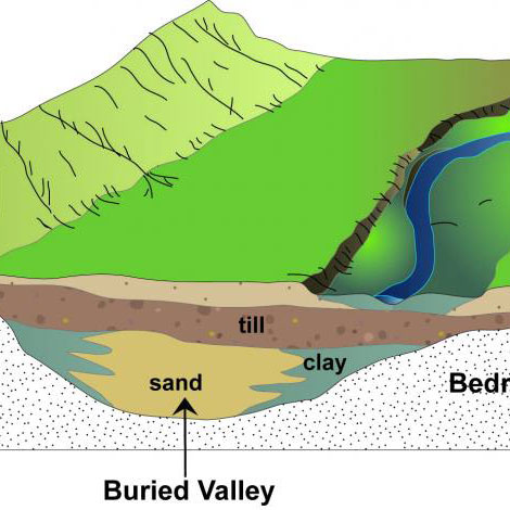
Buried valleys are ancient river or subglacial (beneath a glacier) drainage networks that are now abandoned and have become either partly or completely buried by more recent sediment.
- Open
- 1:250 000
- Great Britain
Data Preview
 Data Preview
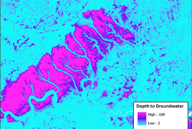
The BGS depth to groundwater product is a national scale dataset of probable maximum depth to the phreatic water table.
- Premium
- 1:50 000
- Great Britain
Data Preview
 Data Preview
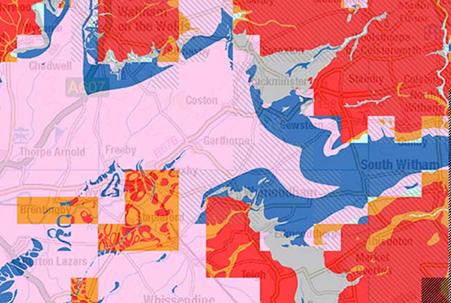
BGS has produced the geological indicators of flooding dataset from geological maps detailing the floodplains and coastal plains in Britain.
- Premium
- 1:50 000
- Great Britain
Data Preview
 Data Preview
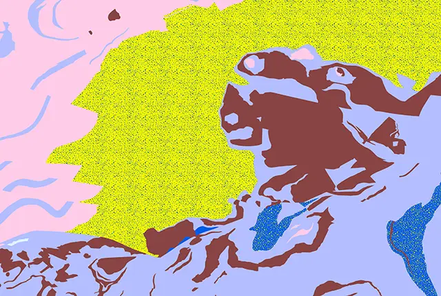
Our groundwater vulnerability maps provide an assessment of the vulnerability of groundwater in overlying superficial rocks and those that comprise the underlying bedrock.
- Premium
- 1:50 000
- England and Wales
Data Preview
 Data Preview
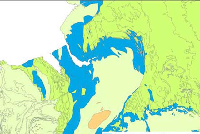
The BGS has produced a suite of hydrogeological maps of Scotland. The suite includes layers with groundwater vulnerability and aquifer productivity data.
- Premium
- 1:100 000
- Scotland
Data Preview
 API Available
The hydrogeological map indicates aquifer potential in generalised term.
- Open
- 1:625 000
- UK
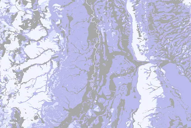
The BGS Infiltration SuDS map dataset is suitable for those involved in the design of sustainable drainage systems and approving SuDS planning applications.
- Premium
- 1:50 000
- Great Britain
 Data Preview
Permeability data is often used in studies of groundwater. Our permeability information is based on BGS Geology 50K data.
- Premium
- 1:50 000
- Great Britain
Data Preview
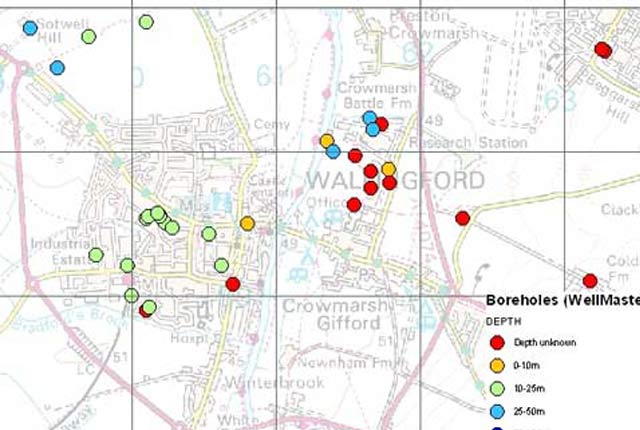
Our digital version of the water well archive. Index level data is available for all water boreholes known to the BGS.
- Open / Premium
- Great Britain