

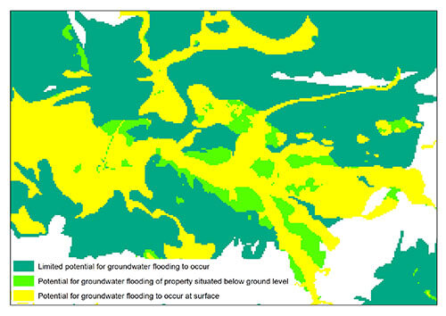

Groundwater Flooding sample BGS © UKRI.
Groundwater flooding
- 1:50 000
- Great Britain
- Premium
In response to the need for more information on groundwater flooding, BGS has produced the first national dataset on the susceptibility across Britain.

Key information
- Scale:
- 1:50 000
- Coverage:
- Great Britain
- Availability:
- Premium
- Price:
£0.35 per km2. Subject to number of users, licence fee and data preparation fee.
- Format:
- GIS polygon data (ESRI, MapInfo, others available by request)
- Uses:
- Local-level to regional-level use
- Themes:
- Environmental change, Hazards, Hydrogeology
- Sector:
- Construction and planning, Flooding
In response to the need for more information on groundwater flooding, BGS has produced the first national dataset on the susceptibility of groundwater flooding, covering England, Wales and Scotland. Based on geological and hydrogeological information, the digital data can be used to identify areas where geological conditions could enable groundwater flooding to occur and where groundwater may come close to the ground surface.
Groundwater flooding is the emergence of groundwater at the ground surface. It can occur in a variety of geological settings including valleys in areas underlain by chalk, and in river valleys with thick deposits of alluvium and river gravels. Groundwater flooding happens in response to a combination of already high groundwater levels (usually during mid or late winter) and intense or unusually lengthy storm events. Groundwater flooding often lasts much longer than flooding caused by a river overflowing its banks. It may last many months and can cause significant social and economic disruption to the affected areas.
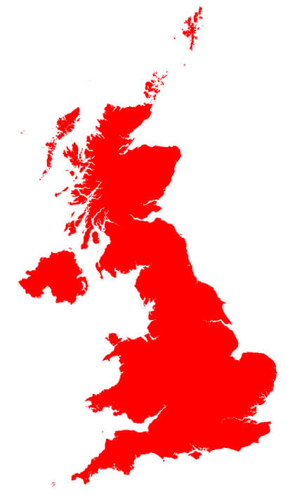
BGS groundwater flooding coverage. BGS © UKRI – Contains OS data © Crown copyright 2020
You may also be interested in:
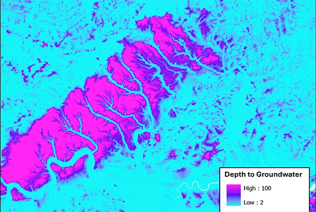
Depth to groundwater
The BGS depth to groundwater product is a national scale dataset of probable maximum depth to the phreatic water table.
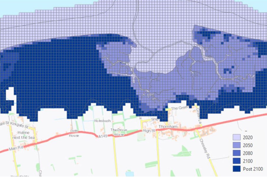
GeoCoast Premium
GeoCoast is an integrated GIS package of datasets designed to inform and support coastal management and adaptation.

BGS GeoScour Premium
The BGS GeoScour datasets provide a generalised overview of the natural characteristics and properties of catchment and riverine environments for the assessment of river scour in Great Britain.

Geological indicators of flooding
BGS has produced the geological indicators of flooding dataset from geological maps detailing the floodplains and coastal plains in Britain.
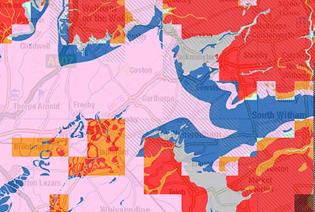
Groundwater vulnerability data
Our groundwater vulnerability maps provide an assessment of the vulnerability of groundwater in overlying superficial rocks and those that comprise the underlying bedrock.
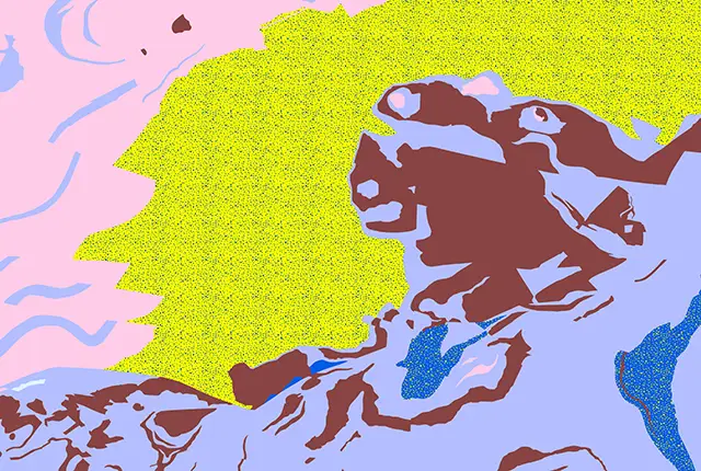
Hydrogeological maps of Scotland
The BGS has produced a suite of hydrogeological maps of Scotland. The suite includes layers with groundwater vulnerability and aquifer productivity data.
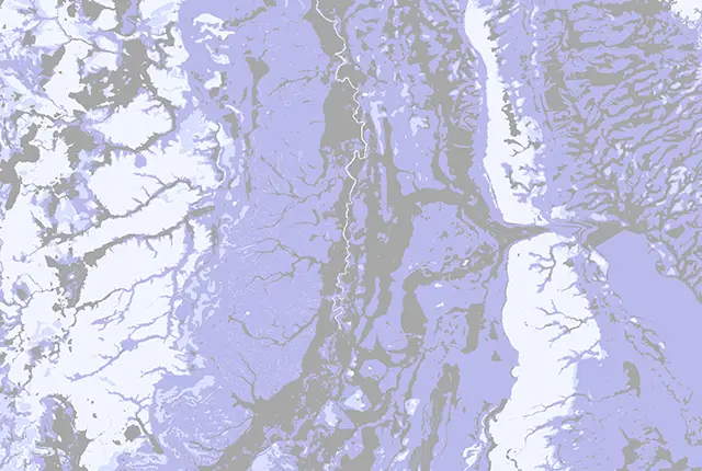
Infiltration SuDS map
The BGS Infiltration SuDS map dataset is suitable for those involved in the design of sustainable drainage systems and approving SuDS planning applications.
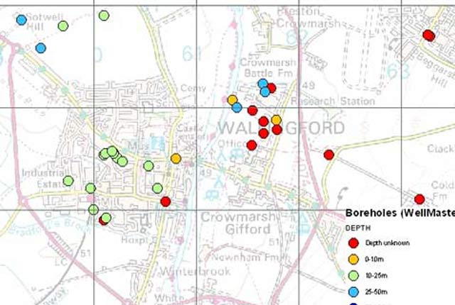
WellMaster hydrogeological database
Our digital version of the water well archive. Index level data is available for all water boreholes known to the BGS.