If active clay shrinkage or swelling appears to be affecting your property, inform your insurance company, mortgage lender or landlord. Get specialist advice from a suitably qualified expert such as a structural surveyor, geotechnical engineer or chartered engineering geologist.
If active clay shrinkage or swelling is not affecting your property but the area has shrink–swell clay potential for, this should be taken into account before starting new buildings or changes in land use.
- Take specialist advice before starting major building work.
- Consider the effect of laying impermeable drives, paths or hardstanding on the rainfall reaching the soil below and changing its moisture content.
- Seek expert advice before planting trees near to a house. The safe planting distance will depend on the tree species, the type of foundation and soil composition.
- Ensure foundations of new constructions or extensions are designed for the shrinkable clay soil conditions that are present.
- Do not plant potentially large trees next to a house.
- Do not remove mature trees that pre-date the construction of the house before taking advice. Tree management by crown reduction or thinning may be better than removal because it will maintain a stable soil moisture profile.
Hazard ratings and advice
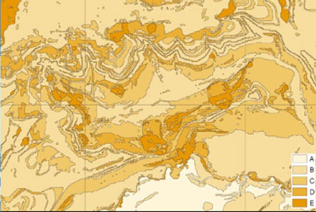
| Hazard rating | Advice for public | Advice for specialist |
|---|---|---|
| A — ground conditions predominantly non-plastic. | No actions required to avoid problems due to shrink–swell clays. | No special ground investigation required or increased construction costs or increased financial risk due to potential problems with shrink–swell clays. |
| B — ground conditions predominantly low plasticity. | No actions required to avoid problems due to shrink–swell clays | No special ground investigation required or increased construction costs or increased financial risk due to potential problems with shrink–swell clays. |
| C — ground conditions predominantly medium plasticity. | Do not plant trees with high soil moisture demands near to buildings. | New build — test for plasticity index is recommended. Possible increase in construction cost to remove possibility of potential shrink–swell problems.
Existing property — possible increase in insurance risk in droughts or where high moisture demand vegetation is present due to shrink–swell clay problems if foundations are not suitable. |
| D — ground conditions predominantly high plasticity. | Do not plant or remove trees or shrubs near to buildings without expert advice about their effect and management. | New build — test for plasticity index is necessary. Probable increase in construction cost to remove possibility of potential shrink–swell problems.
Existing property — probable increase in insurance risk in droughts or where high moisture demand vegetation is present due to shrink–swell clay problems if foundations are not suitable. |
| E — ground conditions predominantly very high plasticity. | Do not plant or remove trees or shrubs near to buildings without expert advice about their effect and management. | New build — test for plasticity index is essential. Definite increase in construction cost to remove possibility of potential shrink–swell problems.
Existing property — significant increase in insurance risk in droughts or where high moisture demand vegetation is present due to shrink–swell clay problems if foundations are not suitable. |
You may also be interested in

BGS GeoSure
The BGS GeoSure datasets identify areas of potential hazard and, therefore, potential natural ground movement, in Great Britain.

BGS GeoSure: shrink–swell
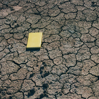
Many soils contain clay minerals that absorb water when wet (making them swell), and lose water as they dry (making them shrink). Many of us see this in our gardens when the ground becomes cracked during the summer, yet becomes ‘heavy’ in the winter.

BGS GeoSure: shrink–swell subsurface
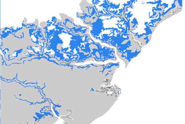
This is a single data layer that identifies areas of potential shrink–swell hazard that are underneath another solid formation and therefore hidden from the surface.

BGS GeoSure: shrink–swell 3D for London and Thames Valley
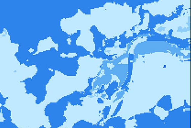
The shrink–swell 3D data is a regional hazard susceptibility map that identifies areas of potential shrink–swell hazard in 3D at intervals down to 20 m in the London and Thames Valley area.


