

Artificial intelligence helps scientists identify 3000 moving slopes potentially at risk of landslide
A new approach that combines AI and satellite data has been used by scientists to detect actively moving landslides at a national scale.
25/09/2025 By BGS Press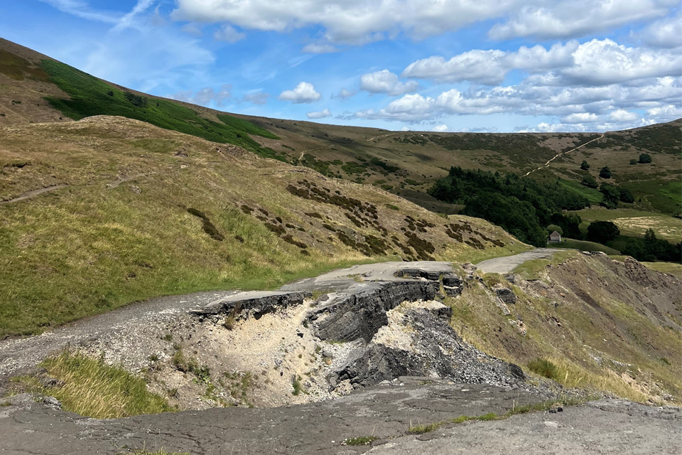

Landslides cause significant disruption to the road and rail network across Great Britain and can lead to fatalities. Identifying active slope failure is a difficult task, as monitoring is costly and time consuming, especially at a national scale.
In collaboration with the University of Florence in Italy, BGS has used a new, semi-automated method that uses artificial intelligence (AI) to identify the slopes that are actively moving, highlighting areas potentially at risk.
Previously, BGS has used interferometric synthetic aperture radar, or InSAR, for monitoring landslides. One of the benefits of InSAR is the large amount of information available, especially at a national scale; but analysing all these data present a challenge for scientists. To help tackle this problem, we have developed a semi-automated method that combines a type of AI called machine learning with clustering tools. The benefit of this approach is that we can analyse data for the whole of Great Britain, which wouldn’t have been possible before.
Results from this recent analysis highlighted around 3000 slopes that showed consistent movement of over 2.5 mm per year between 2018 and 2022. These actively moving slopes affect approximately 14 000 km of road and 360 km of railway — 2.4 per cent and 1 per cent of the entire national network, respectively.
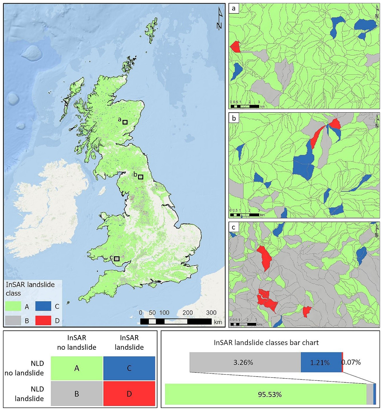
InSAR landslide inventory map with associated matrix and the InSAR landslide classes bar chart. Additionally, three zooms of the map from (a) Scotland; (b) England; (c) Wales. NLD: BGS National Landslide Database. © Medici et al. (2025).
The slopes deemed unstable are not all linked to landslides. Rather, they show the areas that should be focused on not only for future landslide research and mapping but also for the effect on local infrastructure, such as buildings and roads.

Our new, semi-automated approach supports the work of landslide specialists and provides a practical solution for large-scale geohazard management. The tool has helped to classify more than 300 000 slopes around the UK and has highlighted 3000 slopes that have moved in a four-year period.
Satellite InSAR data has enormous potential for understanding ground deformation, but its complexity and the volume of data require advanced automated tools to extract meaningful information. Our semi-automated method helps bridge this gap by identifying the most critical areas to focus on, enabling efficient monitoring and helping to prevent serious damage.
Dr Alessandro Novellino, BGS remote sensing geologist
This approach already provides a powerful disaster-management tool, allowing decision makers to quickly identify areas that are currently at risk from ground motion. By highlighting these vulnerable areas, it supports smarter prioritisation of detailed field surveys, maintenance, and mitigation strategies, reducing costs and improving safety.
Next steps will focus on refining this national-scale analysis by integrating more detailed topographical data, to move from identifying unstable slopes to automatically mapping individual landslides within those slopes. This will enable more precise classification of landslide types and extents and the likely triggering mechanisms. The results will be shared with key stakeholders, including local authorities, infrastructure owners and the Natural Hazards Partnership.
Camilla Medici, postdoctoral researcher at the University of Florence
The research paper, Machine learning and clustering for supporting the identification of active landslides at national scale, is now available to read.
Related news
The Lyell Centre celebrates 10 years of world-leading earth and marine science research
07/09/2026
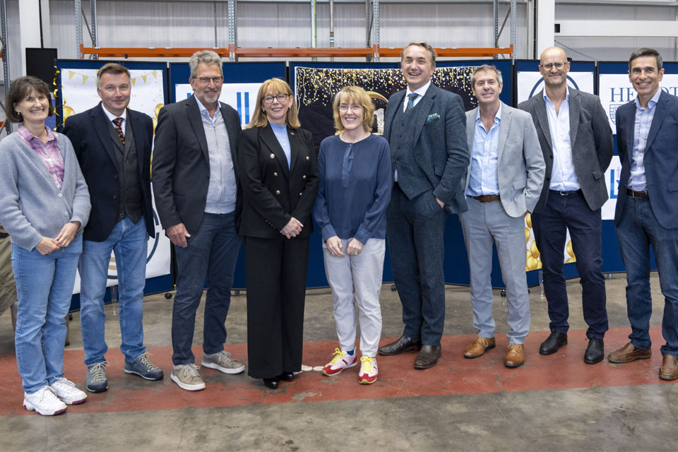
The Lyell Centre for Earth and Marine Sciences, a strategic partnership between Heriot-Watt University and BGS, is celebrating its 10th anniversary, marking a decade of world-leading research, innovation and collaboration in earth and marine sciences.

Demand for data centres presents challenges and opportunities for UK critical mineral supply chains
02/09/2026
Government-backed research finds that vulnerabilities in raw material supply chains must be addressed to secure the critical minerals needed to expand the UK’s digital infrastructure and boost economic growth.

What lies beneath Europe’s sinking ground?
01/09/2026
Land subsidence is becoming increasingly visible across Europe. New research examines how better monitoring, shared data and a deeper understanding of the subsurface can help assess and manage its impacts.

Secrets of an ancient supervolcano uncovered that change our understanding of England’s geological past
28/08/2026
Scientists have found evidence of a long-hidden link between an ancient buried ash layer in Scandinavia and a concealed supervolcano in eastern England.
BGS research into drought-exposed soils wins award
26/08/2026
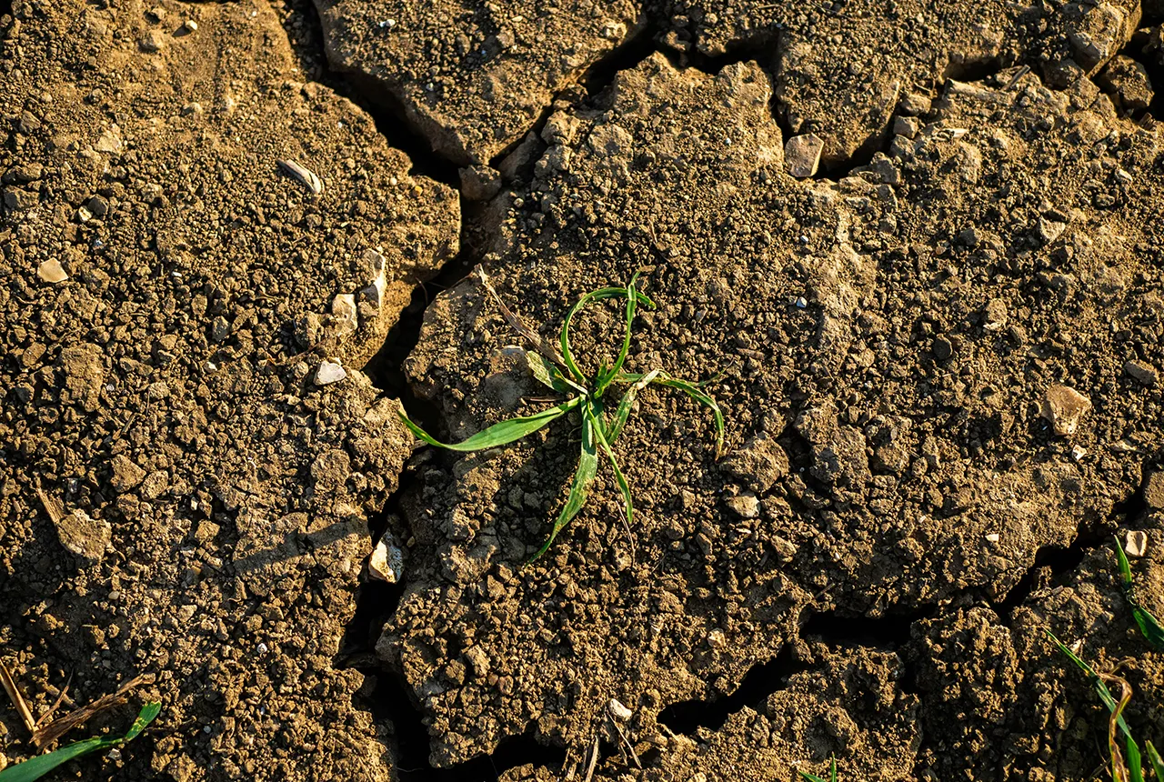
A research paper investigating how temperate soils respond to drought has been announced as the winner of the Land Best Paper Award.
UK aquifers robust despite driest July on record
16/08/2026
In a summer experiencing widespread drought, groundwater levels around the country are showing resilience, demonstrating their value as a crucial resource and indicating they could play a more significant role in mitigating the impacts of extreme weather.

New NERC-funded project empowers young people to engage with environmental science
23/07/2026
BGS is part of a new, collaborative project, funded through NERC’s ‘Opening up the environment’ programme, helping the environmental research community become more accessible.
Delving deep into mountains for future water security
16/07/2026
A BGS-led project is using new water-tracing investigation methods, geophysics and modelling to understand how water moves from mountains to the lowlands, helping to improve water security for billions of people.
Updated national 3D model will determine the depth to the solid bedrock beneath our feet
13/07/2026
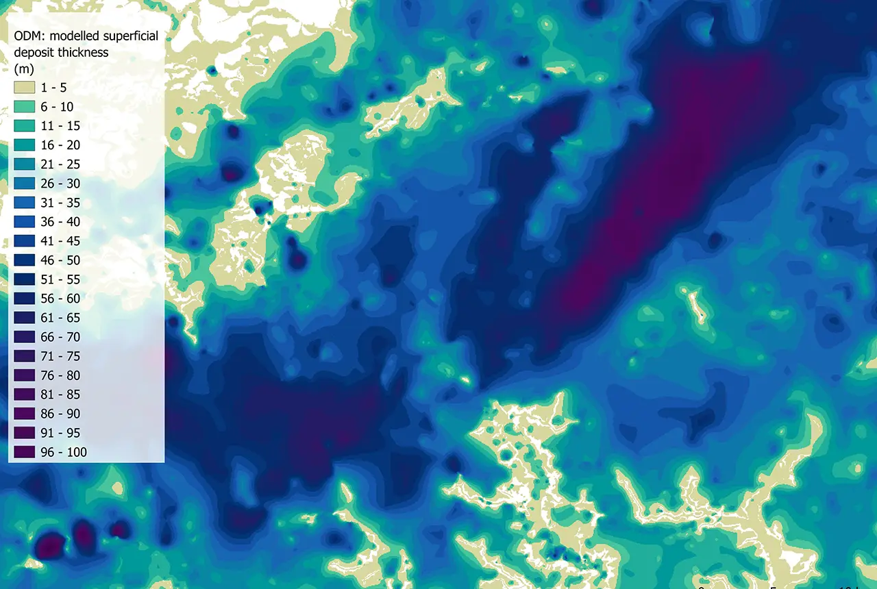
The BGS Superficial Deposit Thickness Model now includes an elevation model of geological rockhead for the first time, providing important data for civil engineers, geoscientists and environmental scientists.

UK’s world-class research organisations launch new collective
10/07/2026
The launch of the National Research Organisations Group brings together more than 100 science leaders to provide an authorativive voice on science, research policy and long-term investment.
Cheshire Geoenergy Observatory releases key geological datasets for UK thermal energy storage scheme design
09/07/2026
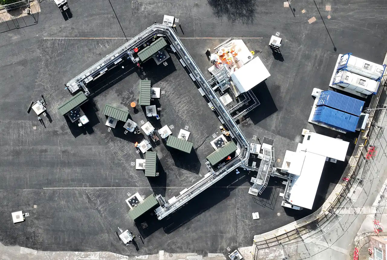
A new report and data packs from BGS will provide a unique resource for scientists working on the geology and hydrogeology of the Sherwood Sandstone Formation, an important aquifer and reservoir rock.

New geological mapping underway to help manage flooding along the River Tweed
08/07/2026
Scientists are surveying the Tweed catchment for the first time in over 100 years to enhance understanding of localised groundwater and improve flood forecasting.