New collaboration aims to improve availability of real-time hazard impact data
BGS has signed a memorandum of understanding with FloodTags to collaborate on the use of large language models to improve real-time monitoring of geological hazards and their impacts.
19/06/2025 By BGS Press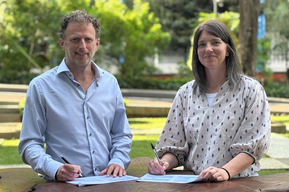

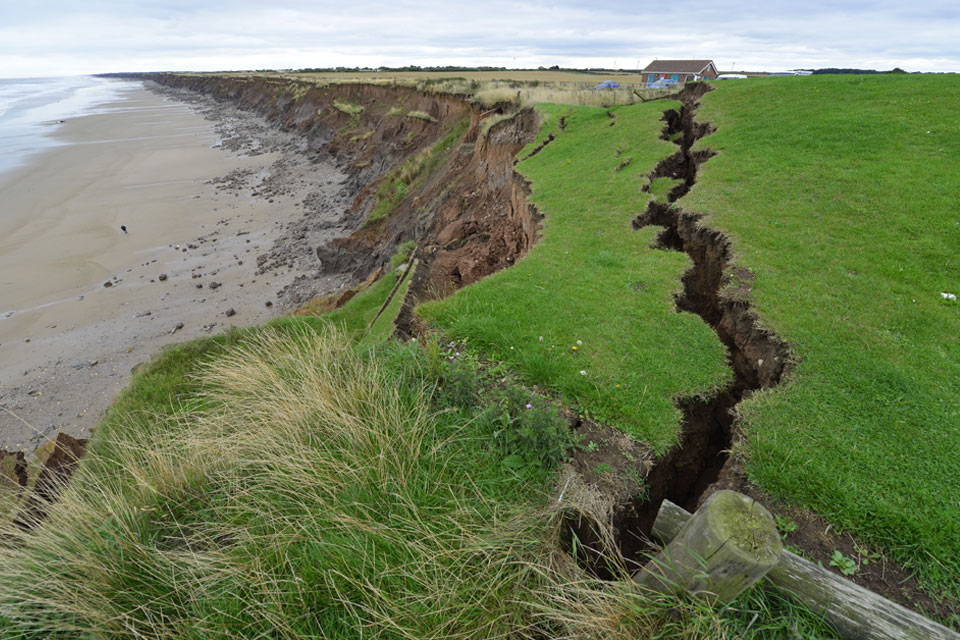
To date, the real-time impact data that is needed to effectively forecast and monitor geological hazard events has been unavailable or incomplete. The FloodTags platform aims to fill this gap by using large language models (LLMs) to extract real-time and historic information from social media platforms (X; YouTube; Bluesky; Facebook; Instagram) and more than 150 000 online news sources. This collaboration is a step towards providing timely, ground-level insight into geological hazards around the world.

I am aware that many organisations around the world, including BGS, rely on the manual gathering of data from social media and the news during disaster events, and to update regional and national hazard inventories. This can add a significant time lag to relevant information being interpreted, particularly during natural disasters, which means any actions taken are also delayed. We have been working with FloodTags for some time now and are delighted to formalise our collaboration in this highly valuable area of research.
Catherine Pennington, BGS Engineering Geologist, landslides.
This collaboration marks a major step forward for FloodTags. Partnering with BGS brings us the scientific expertise and data to expand into landslides and other geological hazards. Their deep knowledge of earth science opens the door to new applications for our real-time media monitoring tools. Combined with the power of large language models, this collaboration allows us to jointly deliver fast and relevant disaster insights for both hydrological and geological hazards. This helps governments and emergency services in making more informed, evidence-based decisions.
Jurjen Wagemaker, founder of FloodTags.
As a first activity under the new Memorandum of Understanding, BGS and FloodTags are in Indonesia this week to present the first version of HazTags, an LLM-powered platform for monitoring floods and landslides using social and news media data. They will discuss long-term collaboration in Indonesia with:
- the Indonesian national research agency, BRIN
- Centre for Volcanology and Geological Hazard Mitigation (PVMBG)
- Indonesian Red Cross (PMI)
- Meteorology, Climatology and Geophysics Agency (BMKG)
- Ministry for Public Works (PU)
- National Agency for Disaster Management (BPBD)
- Research Centre for Disaster Mitigation (ITB)
For more information, please contact BGS press (bgspress@bgs.ac.uk) or call 07790 607 010.
Relative topics
Related news

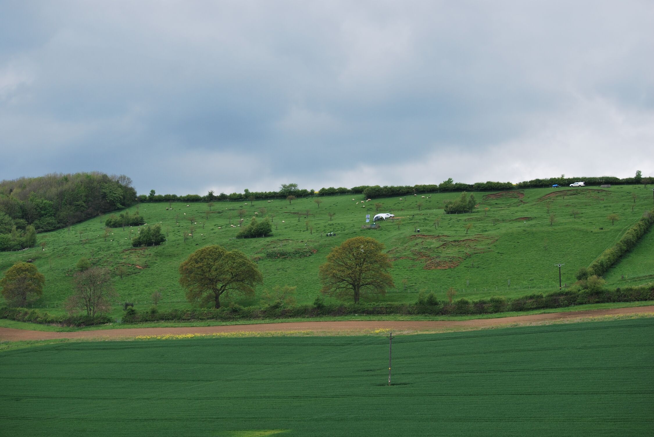
New geological mapping underway to help manage flooding along the River Tweed
08/07/2026
Scientists are surveying the Tweed catchment for the first time in over 100 years to enhance understanding of localised groundwater and improve flood forecasting.
Perth and Kinross tops the UK’s earthquake activity charts for 2025
29/12/2025
Seismologists at BGS have published data on the number of seismic events over the past 12 months with over 300 earthquakes recorded.

BGS awarded funding to support Malaysia’s climate resilience plan
17/12/2025
The project, funded by the Foreign, Commonwealth & Development Office, will focus on minimising economic and social impacts from rainfall-induced landslides.
New research shows artificial intelligence earthquake tools forecast aftershock risk in seconds
25/11/2025
Researchers from BGS and the universities of Edinburgh and Padua created the forecasting tools, which were trained on real earthquakes around the world.

UK braced for what could be the largest solar storm in over two decades
12/11/2025
Intense geomagnetic activity could disrupt technology such as communication systems, global positioning systems and satellite orbits.
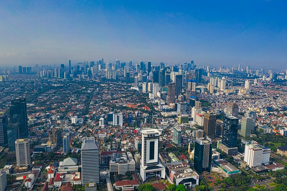
New research highlights significant earthquake potential in Indonesia’s capital city
04/11/2025
Research reveals that a fault cutting through the subsurface of Jakarta could generate a damaging earthquake of high magnitude.
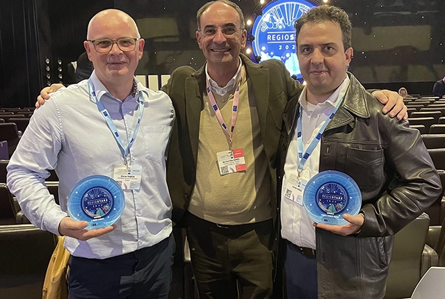
GSNI project wins multiple awards at RegioStars event
17/10/2025
The AGEO project enjoyed a double success at the RegioStars awards, hosted at the European Commission in Brussels.
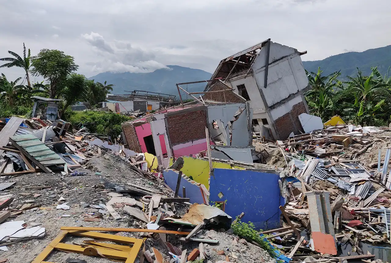
New report sets pathway to reduce the impacts of geohazards in one of the world’s most hazard-prone nations
30/09/2025
A new White Paper, co-developed by Indonesian and UK hazard experts, presents a strategic roadmap to significantly reduce the impacts of geological hazards in Indonesia.
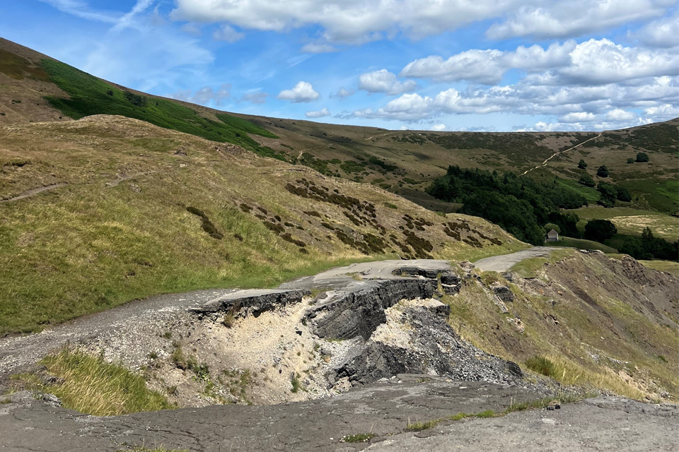
Artificial intelligence helps scientists identify 3000 moving slopes potentially at risk of landslide
25/09/2025
A new approach that combines AI and satellite data has been used by scientists to detect actively moving landslides at a national scale.

UK scientists in awe-rora as national coverage of magnetic field complete for the first time
23/09/2025
New sensors being installed across the UK are helping us understand the effects that extreme magnetic storms have on technology and national infrastructure.
BGS-led paper scoops prestigious award
16/09/2025
New research providing earlier warnings of landslides has been awarded the British Geotechnical Association medal.
BGS scientists work with United Nations to update hazard profiles
21/08/2025
From tsunamis to sinkholes, the profiles provide a standardised, internationally agreed definition of hazards to support disaster risk management worldwide.