Relative topics
19 results for "open data"
BGS GeoScour Open
The BGS GeoScour Open datasets provide a generalised overview of the natural characteristics and properties of catchment and riverine environments for the assessment of river scour in Great Britain.
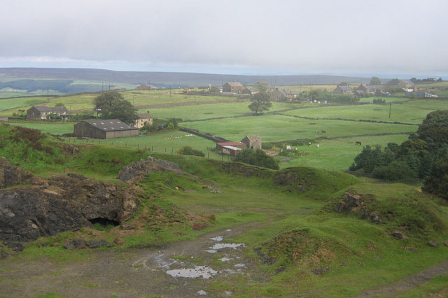
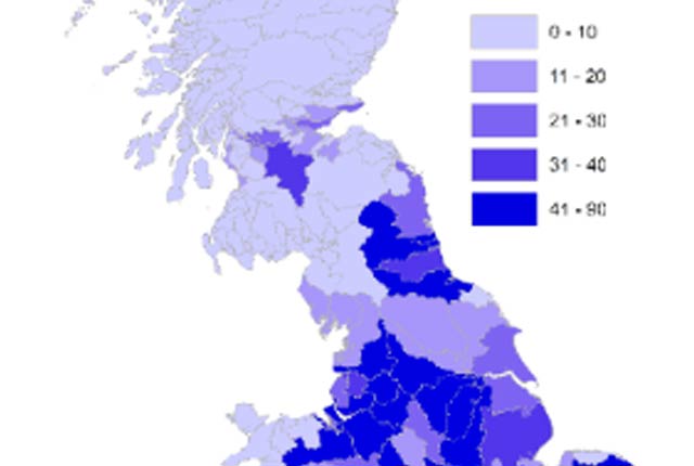
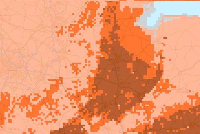
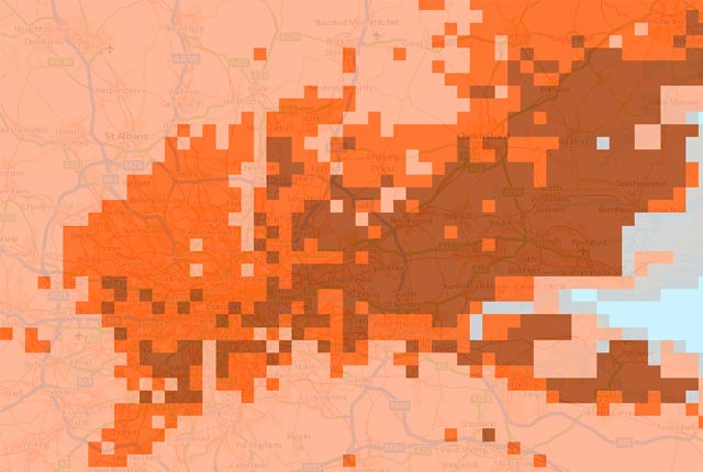
Mining hazard data (not including coal) from BGS
Great Britain has over 250 000 documented mining sites and the underground voids resulting from past mining activity pose a possible hazard. Knowledge of the distribution of former mining areas will help us to plan for future development and ongoing maintenance.
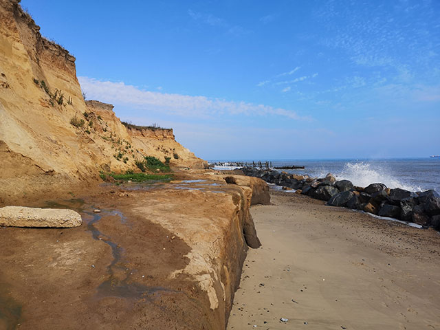
GeoCoast Open
GeoCoast Open provides a range of historic images and diagrams extracted from our archives, memoirs and other publications, which can provide a reference for coastal change.
Accessing open source BGS software through GitHub
BGS is increasingly utilising GitHub to make its software available as open source and encourage collaboration with partners and the wider community.
GeoClimate UKCP18 Open
Based on higher emissions scenario, provides the most susceptible value for the time periods 2030s and 2070s within the grid cell.
GeoClimate UKCP09 Open
Based on medium emissions scenario, provides the most susceptible value for the time periods 2030s, 2050s and 2080s within the grid cell.

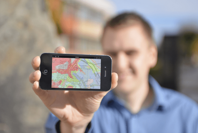
Reflections on a decade of data
Looking back at BGS's online portal for open-access data, OpenGeoscience.