Relative topics
12 results for "geoindex"

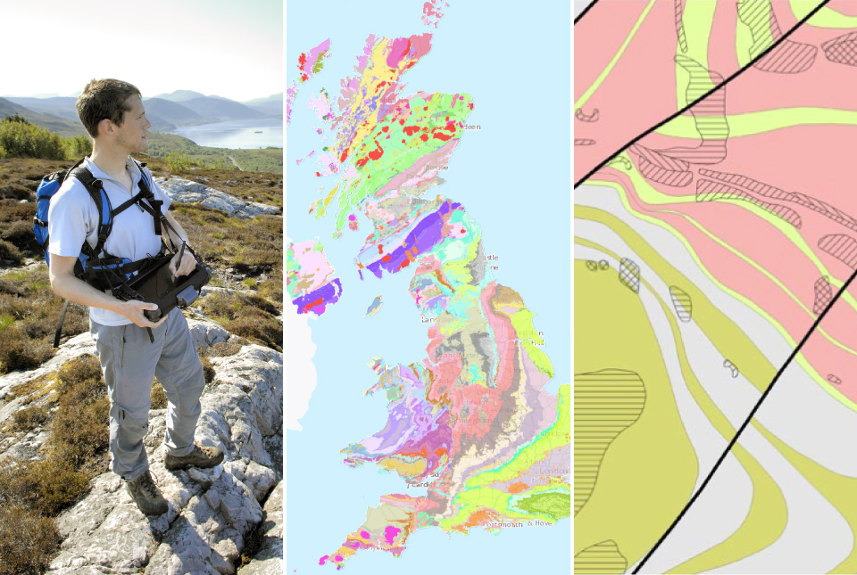
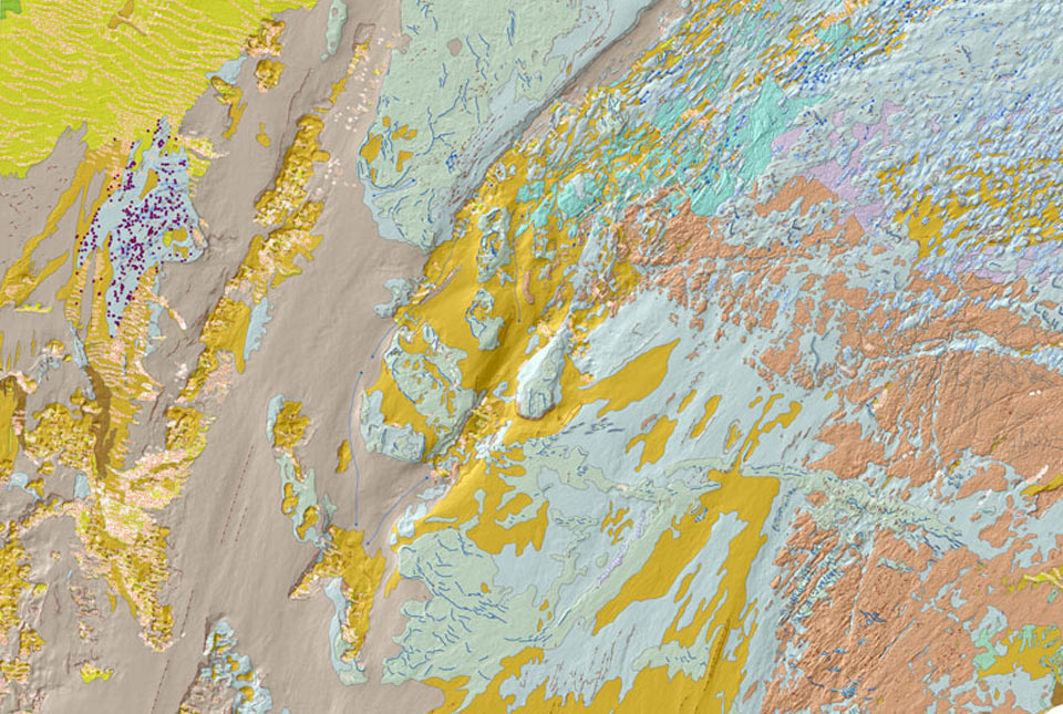
New BGS GeoIndex viewer released for user testing
The premium map-viewing application has been given a major upgrade and made available as a beta release.
BGS digital geology maps: we want your feedback
BGS is asking for user feedback on its digital geological map datasets to improve data content and delivery.
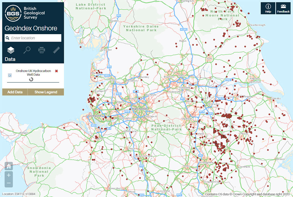
A new open dataset to benefit onshore geoscience research
Data from deep onshore hydrocarbon wells is being released on an open access basis to help meet the UK’s net zero targets.
Improvements to borehole delivery
BGS releases improvements to its borehole layer on the GeoIndex, which makes access faster and improves quality.
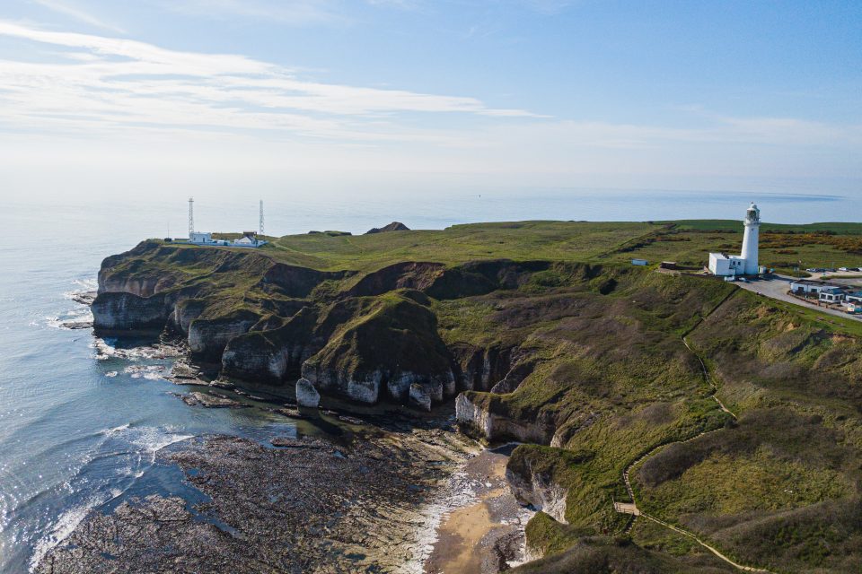
New seabed geology maps for offshore Yorkshire
Offshore Yorkshire is the latest map to be released in BGS's series of fine-scale digital seabed maps.
BGS Seabed Geology
The seabed geology map dataset covers regions on the UK’s continental shelf and details the substrate geology, structural geology and seabed geomorphology.

New geological map of offshore Anglesey released
BGS has released a new fine-scale digital map featuring the seabed geology of offshore Anglesey (Ynys Môn).
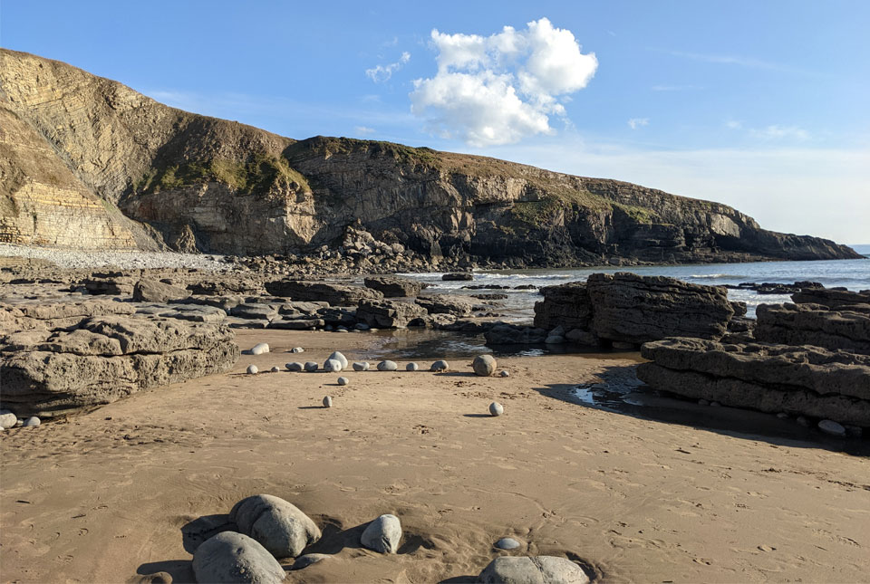
New seabed maps offer a window into the distant past
BGS has begun publishing a new series of high-resolution offshore geological maps showing the distribution of bedrock and sediments that make up the seabed around our coasts.