Relative topics
76 results for "geohazards"
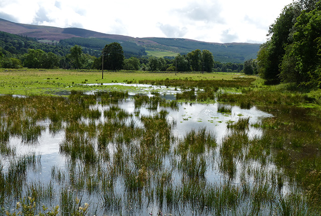
Building with nature and geology to protect against flooding
Discover how BGS is working alongside partners to investigate the effectiveness of natural flood management initiatives and mitigate the threat of flooding.
Five minutes with … the BGS Hazard and Resilience Modelling team
Meet the team behind our geohazard products and datasets.
Environmental understanding: adapting to a changing climate
From food security to mitigating geohazard risks, environmental understanding is essential for mitigation and resilience in a changing climate.
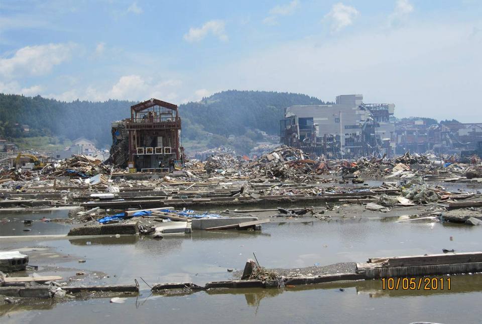
10 years on: the 2011 Great East Japan Earthquake and Tsunami
In remembrance, Prof David Tappin discusses the importance of tsunami anniversaries
Developing new seismic hazard maps for the UK
Understanding and quantifying the hazard earthquakes pose to the built environment in the UK.
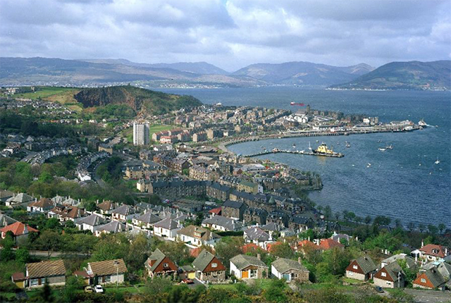
Scientists identify hidden landslides beneath Scottish lochs
Survey data shows five locations around the Scottish coast are subject to underwater landslides.
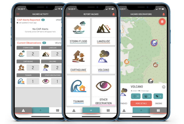
Citizen science for multi-hazards and disaster risk reduction
We are using citizen science for people to develop a shared understanding of hazardous phenomena and for communities to contribute to hazard forecasting and early warning.
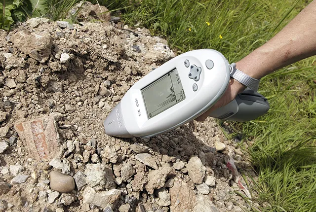
Medical geology
Medical geology is the study of the relationships between geoenvironmental factors and the health of plants, animals and humans.