

Update to essential scientific reference maps reveals new movement of the Earth’s magnetic field
The international science community has released an update to the International Geomagnetic Reference Field, a model created for the public good and used by scientists around the world.
01/01/2025 By BGS Press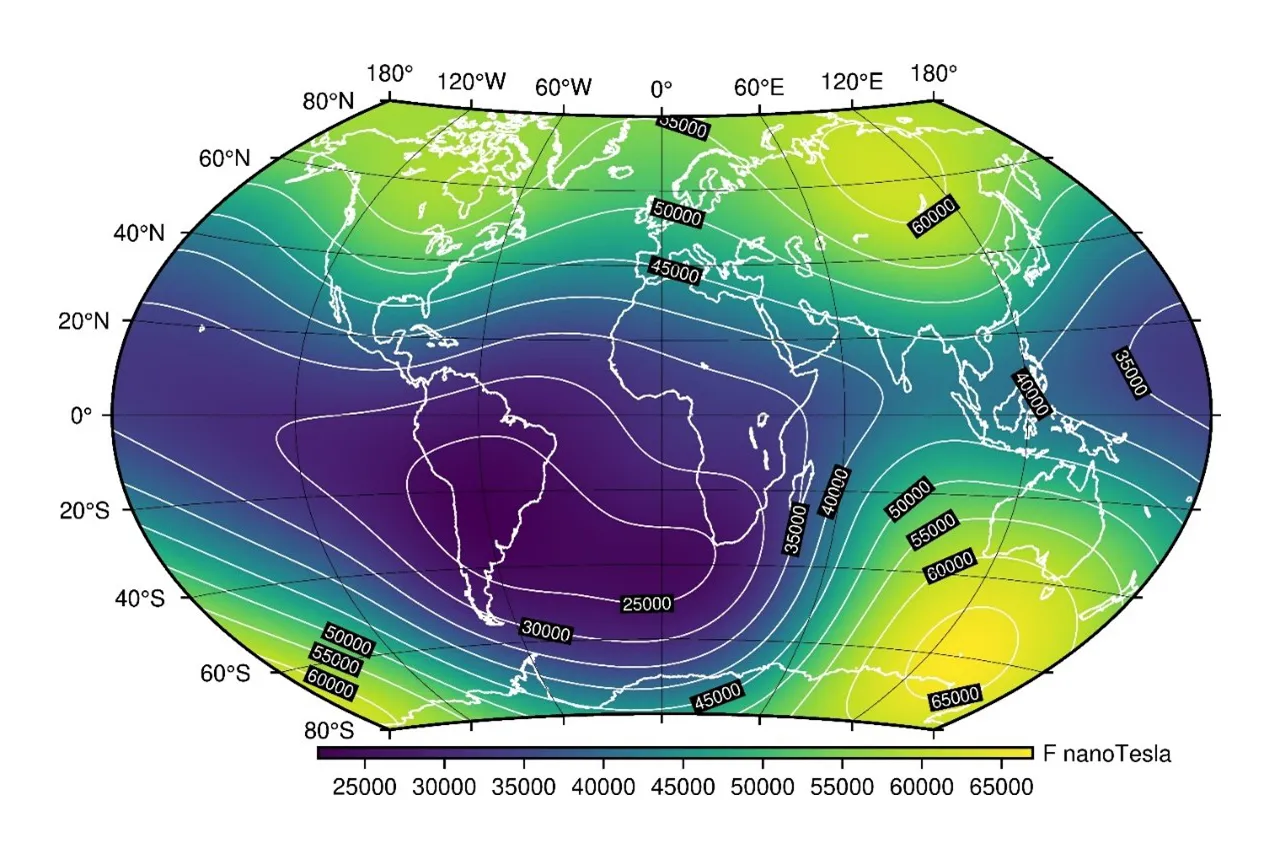

Every five years since 1990, the international science community teams up to update the International Geomagnetic Reference Field (IGRF), a standard reference set of maps of the Earth’s magnetic field created for the public good. This year, BGS led the coordination and evaluation for the IGRF’s fourteenth update.
True north and magnetic north
Unlike ‘true north’, which is the fixed point around which the rotation axis of the Earth spins, ‘magnetic north’ is constantly moving due to the motion of liquid iron in the Earth’s outer core. As the liquid iron is conductive, the entire magnetic field moves slowly with it, dragged along in an unpredictable way. Compass needles point towards the magnetic pole in the northern hemisphere, so forecasting its movement is crucial for accurate navigation and for other applications. Due to the unpredictability of the flow of the outer core, the maps are updated every five years to remain accurate.
This is where the IGRF comes in. The IGRF can be used for many purposes, particularly those requiring very accurate magnetic field values, including:
• aeromagnetic studies
• mining
• oil and gas exploration
• ionospheric modelling
• space weather forecasting
• spacecraft orientation
• magnetic correction for compass users
Tracking the movement of magnetic north
Magnetic north is estimated to have moved at about 10 km a year from 1600 to 1990. In the 2000s, it accelerated at a record speed up to 55 km a year. The 2019 IGRF update showed magnetic north was moving by around 50 km per year, continuing on its path towards Russia, having been in Canada for the last 400 years.
Newly released maps have shown that the movement of magnetic north has slowed down over the past five years to about 35 km a year, a deceleration that has not been seen before. In comparison, the magnetic south pole has moved very little in the past decade.

The current behaviour of magnetic north is something that we have never observed before.
With the release of the fourteenth update to the International Geomagnetic Reference Field, we have captured this unprecedented change, ensuring that scientists across the world can continue with their forecasts and explorations.
Ciarán Beggan, BGS Geophysicist.
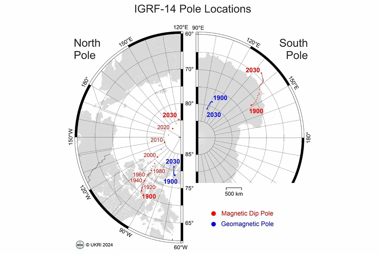
Magnetic north dip pole locations (red) and ideal geomagnetic poles (blue) from 1900 to 2030. From the International Geomagnetic Reference Field (14th release). BGS © UKRI.
Measurements of the magnetic field are made at geomagnetic observatories on the ground and by dedicated satellites that orbit around 500 km above the planet’s surface. Data from hundreds of absolute magnetic observatories were used, including nine operated by BGS. To make the maps, tens of millions of measurements are collected and checked for errors, before sophisticated computer programs crunch through the data to extract the core field signals.
As part of the measurements, the geomagnetic community also estimates how the magnetic field will change between 2025 and 2030.
We predict that the magnetic north pole will continue to slow down its movement over the next five years, although still travelling towards Siberia. Interestingly, in early 2026, both the north and south pole will have the same longitude (135°W), which has not happened in many centuries.
We also noticed there is a new weak region of the field developing offshore South Africa along with the existing weak area known as the South Atlantic Anomaly, which is currently passing over Argentina.
Ciarán Beggan, BGS Geophysicist.
IGRF-14 was created in collaboration with 18 other institutes from four continents and represents the global consensus from international scientists about the Earth’s magnetic field. In 2030, this process will be repeated, in order to update the maps to 2035.
The IGRF-14 is now available for download.
The World Magnetic Model
In conjunction with the US National Oceanic and Atmospheric Administration, BGS has also updated the World Magnetic Model (WMM). The WMM is a series of magnetic field maps that help underpin commercial navigation systems in aircraft and electronic devices including mobile phones, which is also updated every five years.
The WMMHR2025 and the WMM2025 are available for download.
Contact
For more information, please contact BGS press (bgspress@bgs.ac.uk) or call 07790 607 010.
Relative topics
Related news
Mystery of one of the earliest recorded space weather impacts solved
17/09/2026
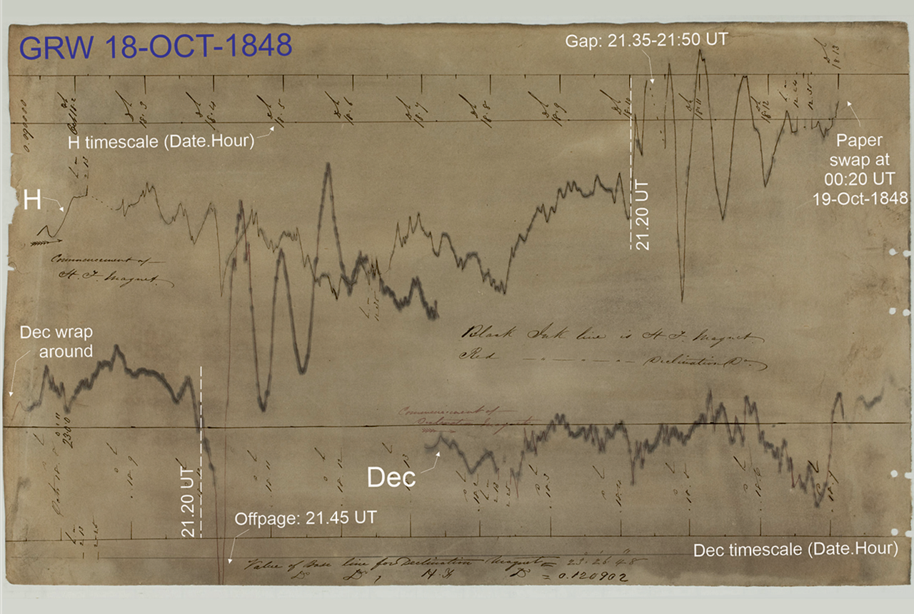
BGS scientists were part of an international team that has solved a 178-year-old mystery surrounding one of the earliest recorded examples of space weather affecting technology.
‘Three norths’ set to leave England and not return for hundreds of years
12/12/2025
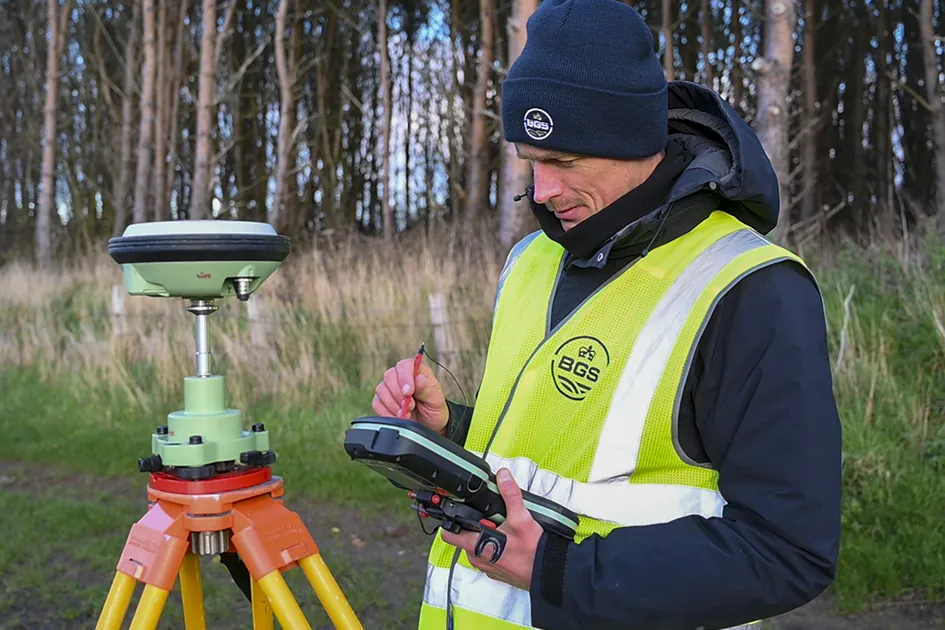
The historic alignment of true, magnetic, and grid north is set to leave England, three years after they combined in the country for the first time since records began.
UK braced for what could be the largest solar storm in over two decades
12/11/2025
Intense geomagnetic activity could disrupt technology such as communication systems, global positioning systems and satellite orbits.
First distributed acoustic sensing survey completed at UK Geoenergy Observatory
12/11/2025
New research at the Cheshire Observatory has shown the potential for mapping thermal changes in the subsurface using sound waves.

Fieldwork on Volcán de Fuego
13/10/2025
Understanding how one of the world’s most active volcanoes builds up material, and how they collapse to feed hot flows
UK scientists in awe-rora as national coverage of magnetic field complete for the first time
23/09/2025
New sensors being installed across the UK are helping us understand the effects that extreme magnetic storms have on technology and national infrastructure.
BGS-led paper scoops prestigious award
16/09/2025
New research providing earlier warnings of landslides has been awarded the British Geotechnical Association medal.
New global space weather hazard index launched
17/01/2025
The new index provides a near-real time, global picture of geomagnetic variations helping to highlight the effects of space weather.
Update to essential scientific reference maps reveals new movement of the Earth’s magnetic field
01/01/2025
The international science community has released an update to the International Geomagnetic Reference Field, a model created for the public good and used by scientists around the world.
Airlines, shipping companies and sleigh drivers rush to update crucial navigation systems ahead of Christmas rush
17/12/2024
Release of major upgrade to a new model tracking magnetic north prompts global reset of satellite tracking systems across trade and passenger transport routes.

Electromagnetic geophysics in Japan: a conference experience
23/10/2024
Juliane Huebert took in the fascinating sights of Beppu, Japan, while at a geophysics conference that uses electromagnetic fields to look deep into the Earth and beyond.
New research hub announced as part of £160 million investment
08/10/2024
Focusing on quantum sensing, imaging and timing, the hub will be launched at the end of this year as part of an investment announced by the Science Secretary.