Understanding the resilience of Mexico City to future water crises
Long-term solutions for water poverty in one of the world's largest cities in the face of climate change and a growing population.
25/01/2022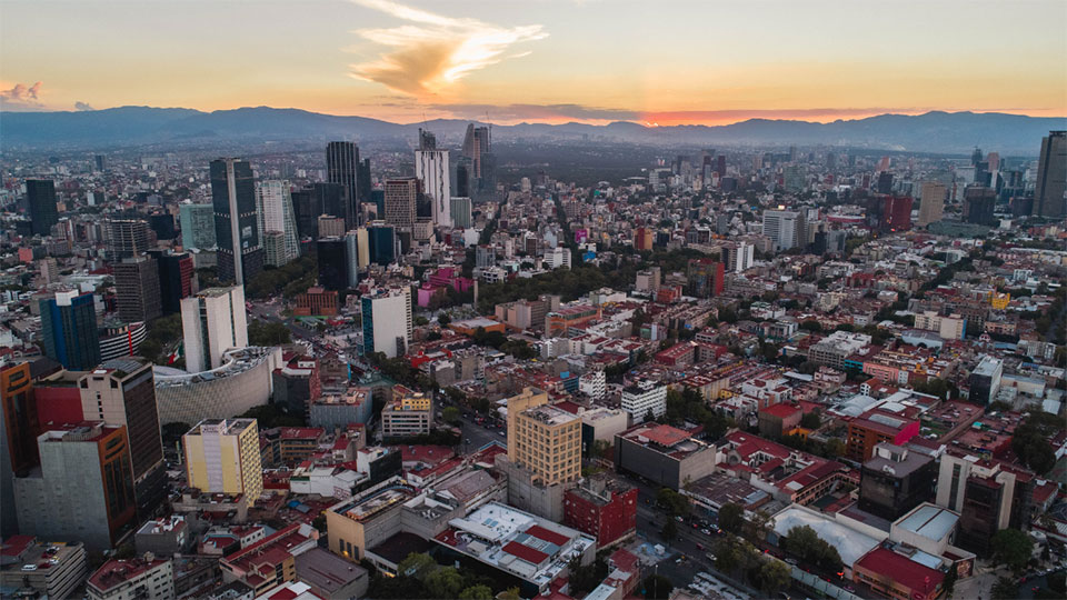

Mexico City is one of the world’s largest cities and its population, geographical setting and aging infrastructure have put its natural water reserves at risk. Climate change and a growing population are forecast to put further strain on these reserves, making water crises and water poverty increasingly common. Long-term solutions need to look beyond purely technical water-management solutions and integrate sociological processes into future practices.
Socio-hydrological resilience
Socio-hydrology looks at the interactions between people and water, providing a holistic platform to better understand the impacts of water-management practices.
Making cities more socio-hydrologically resilient reduces the potential for water crises in the future. Working with the Architectural Association School of Architecture and the Centre for Advanced Spatial Analysis at UCL, BGS developed a tool for assessing the socio-hydrological resilience of cities, both currently and under various scenarios. This tool allows decision makers to assess the effects of changing water-management practices.
With guidance from local stakeholders, the team looked at how different climate-change scenarios could affect the socio-hydrological resilience of the city and how the development of household-scale wetlands across the city could improve this resilience. These ‘constructed wetlands’ consist of small areas of vegetation, soil and organisms that have been engineered to act as a biofilter to remove pollutants from water. They provide a decentralised, sustainable way to treat waste water, reducing disease and the need for infrastructure maintenance whilst improving access to green infrastructure, thus providing ecological benefit.
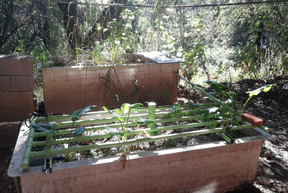
Example of a constructed wetland in Mexico City. © Fluxus 2021.
Mexico City today
The socio-hydrological resilience of Mexico City is currently divided into two main areas. The central and western parts of the city are generally more resilient, whilst the eastern, northern and southern neighbourhoods are less so. In the east and north, this lower resilience is attributed to a reduced capacity for society to adapt to water crises, but in the south, there is greater natural stress on water resources.
The development of constructed wetlands across the city has, under today’s climate, the potential to decrease the number of people vulnerable to water poverty by 32 per cent (around six million people). Wetlands also have the ability to decrease the number of highly vulnerable people by half a million.
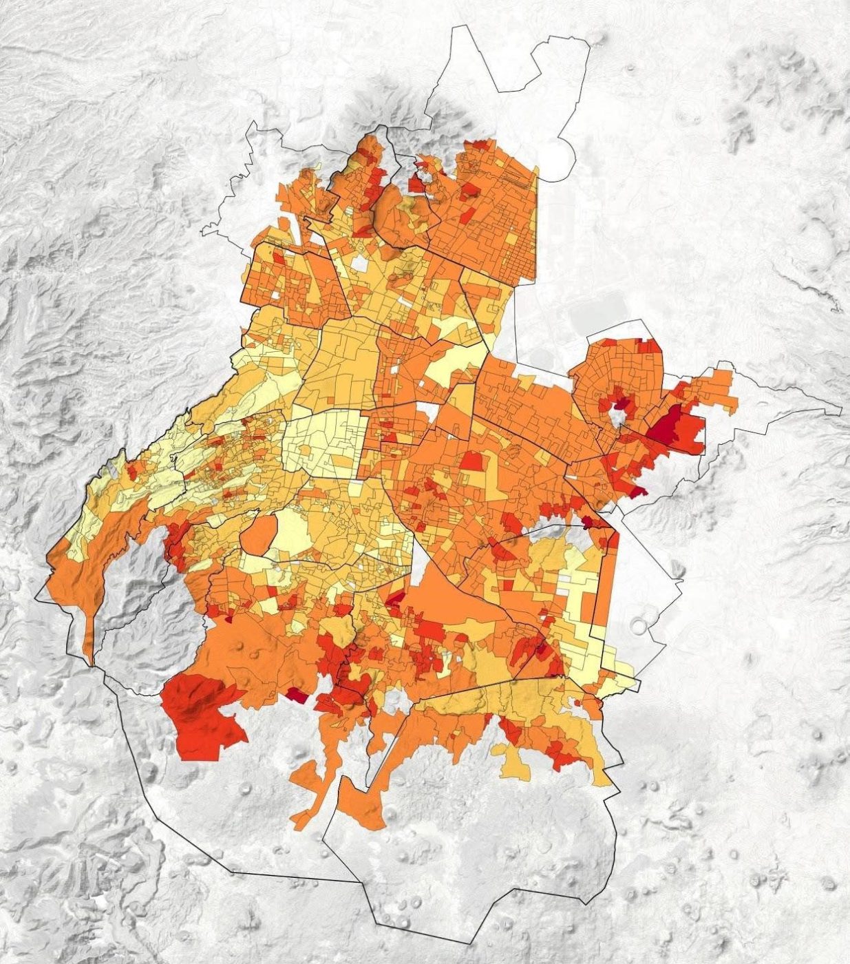
Image showing the socio-hydrological resilience of Mexico City. The dark red regions are less resilient, and the light yellow more resilient, to social and water-related stress. © Architectural Association.
Mexico City in the future
The project found that, with no improvements to water sustainability, around four million people in Mexico City will move from low to moderate vulnerability by 2050. These people will have greater difficulty gaining access to a reliable, clean water supply. Additionally, around seven in every ten people in the city would be classed as highly vulnerable, meaning that they are highly unlikely to have a secure water supply. The team found that optimising the development of constructed wetlands can improve socio-hydrological resilience in the future, bringing levels in line with those that we see today.
Although constructed wetlands have the ability improve socio-hydrological resilience across Mexico City, they will need to be combined with other, decentralised green-blue infrastructure, such as rain-harvesting systems, to further improve resilience in the future.
Access the Mexico Socio-hydrological Resilience app.
Partners and funding
This project was funded by British Council Institutional Links and developed in collaboration with the Architectural Association School of Architecture and the Bartlett Centre for Advanced Spatial Analysis (CASA), a research centre at University College London.
About the author

Dr Andrew Barkwith
Associate Director of Operations
Relative topics
Latest blogs

Building Europe’s geological future
20/07/2026
BGS scientists are contributing to a continent-wide initiative that is strengthening collaboration across borders to tackle shared subsurface challenges and unlock new opportunities.

Collecting beach pebbles: fun hobby but is it legal?
14/07/2026
The UK coastline will be inundated with keen holidaymakers this summer, many of whom will take a memento of their trip home in the shape of a pebble or two — but is it legal?

Strengthening capacity through partnership: a critical minerals perspective
28/04/2026
BGS has been working in partnership with the Geological Survey Department of Zambia (GSD) to build national capacity, improve data accessibility and support long-term, sustainable development.

PhD adventures in Copenhagen, Denmark: revealing past recovery processes of tropical forest systems through ancient environmental DNA
12/03/2026
PhD student Chris Bengt visited the University of Copenhagen to carry out very delicate extraction of aeDNA from lake-sediment cores, in the hopes of unlocking the secrets of past volcanic eruptions.

MARC Conference 2025: highlighting the importance of conferences to PhD students
16/02/2026
BGS and University of Nottingham PhD student Paulina Baranowska shares her experience presenting her research on nuclear forensics at her first international conference.

Hole-y c*@p! How bat excrement is sculpting Borneo’s hidden caves
23/12/2025
BGS researchers have delved into Borneo’s underworld to learn more about how guano deposited by bats and cave-dwelling birds is shaping the subsurface.

How the geology on our doorstep can help inform offshore infrastructure design
19/11/2025
BGS is part of a new collaboration using onshore field work to contextualise offshore data and update baseline geological models which can inform the sustainable use of marine resources.

Fieldwork on Volcán de Fuego
13/10/2025
Understanding how one of the world’s most active volcanoes builds up material, and how they collapse to feed hot flows
Esthwaite Water: applying novel approaches to understand lake-water nutrient pollution
19/09/2025
Andi Smith (BGS) and Savannah Worne (Loughborough University) embarked on fieldwork in the Lake District, applying a novel stable isotope method for tracing phosphorus sources.

Opening up the geosciences: making work experience more accessible
19/09/2025
BGS has been working with partners to make the geosciences more accessible to young people, including those from under-represented backgrounds.
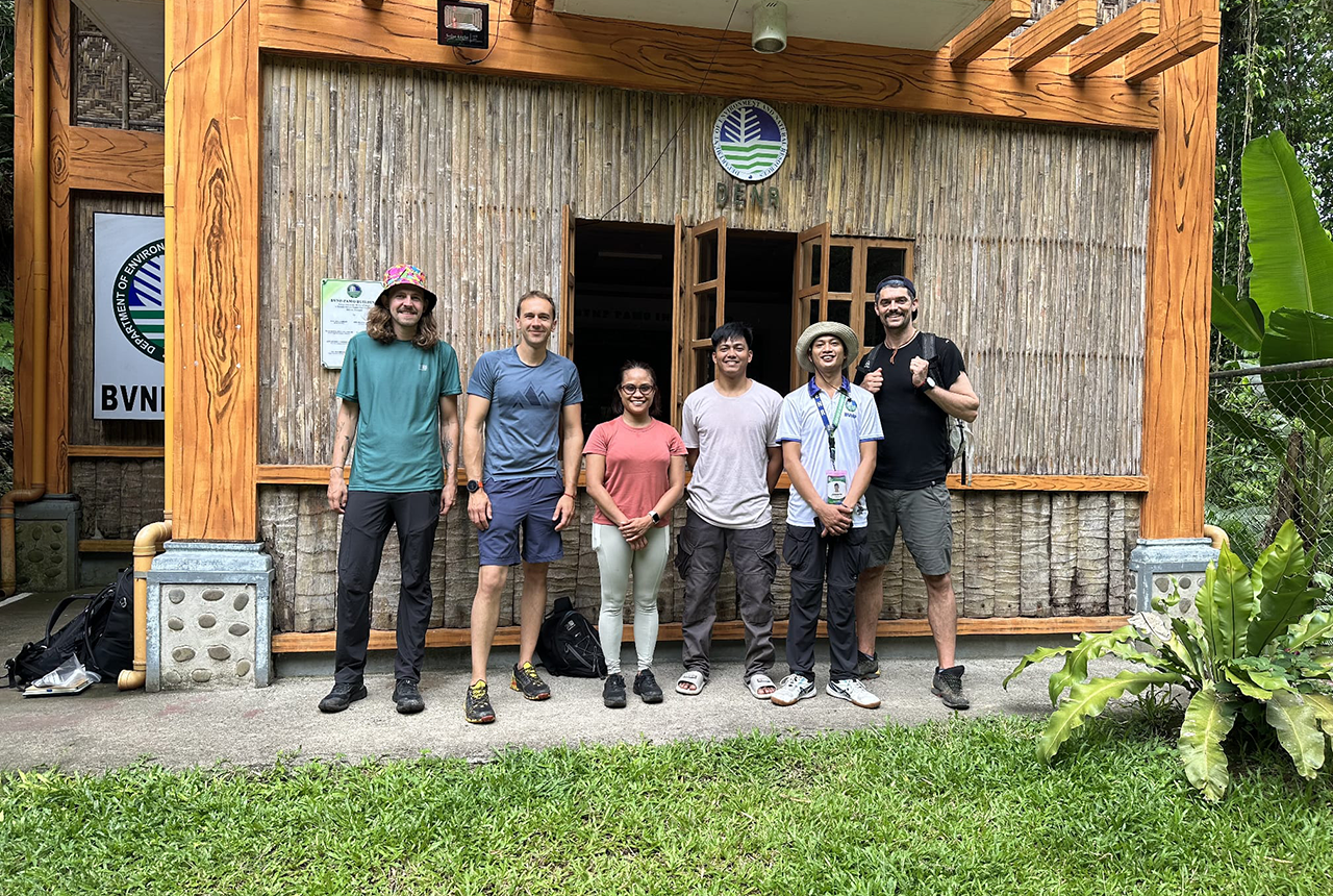
PhD adventures in the Philippines: coring around Lake Bulusan
05/09/2025
Chris Bengt recounts his two-week field trip to Bulusan Volcano Natural Park in the Philippines to collect lake sediment cores, fresh soil and water samples.
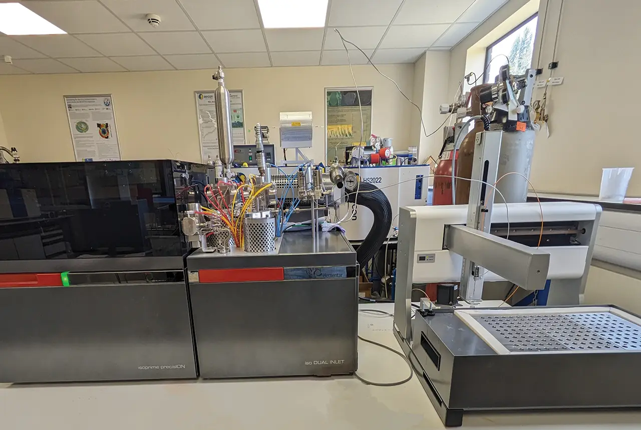
Gemini: a new stable isotope tool
21/08/2025
BGS’s Stable Isotope Facility has new mass spectrometer equipment for analysing carbon and oxygen isotopes from carbonates and water.