UK Minerals Yearbook 2021 available to download
The UK Minerals Yearbook 2021 provides essential information about the production, consumption and trade of UK minerals up to 2020.
11/04/2022 By BGS Press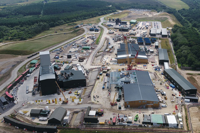

The latest statistical data on minerals production in the UK is now available to download. The UK Minerals Yearbook 2021 provides essential information about the production, consumption and trade of UK minerals up to 2020.
Published annually by BGS, the yearbook includes definitive updates designed to inform decision makers, the minerals industry and those interested in the contribution of minerals to the national economy.
The UK produces over 270 million tonnes of minerals each year, contributing to the country’s construction, energy, manufacturing and agricultural sectors.
Coal production continues to decline (80 per cent since 2015) as the UK continues to move away from the use of coal for power generation. Also notable in 2020 is a decline in production of construction minerals, around 10 per cent compared to 2019. This is most likely a temporary reduction due to the Covid-19 pandemic.
The UK Minerals Yearbook 2021 is available to view and download from the Minerals UK website.
Relative topics
You may also be interested in:
Critical raw materials
Addressing global concerns over the long-term availability of secure and adequate supplies of the minerals and metals needed by society.

Critical raw materials podcast
In this episode we discuss critical raw materials and the crucial role they will play as we move to a low-to-zero carbon economy
Latest news

Delving deep into mountains for future water security
16/07/2026
A BGS-led project is using new water-tracing investigation methods, geophysics and modelling to understand how water moves from mountains to the lowlands, helping to improve water security for billions of people.

Updated national 3D model will determine the depth to the solid bedrock beneath our feet
13/07/2026
The BGS Superficial Deposit Thickness Model now includes an elevation model of geological rockhead for the first time, providing important data for civil engineers, geoscientists and environmental scientists.

UK’s world-class research organisations launch new collective
10/07/2026
The launch of the National Research Organisations Group brings together more than 100 science leaders to provide an authorativive voice on science, research policy and long-term investment.

Cheshire Geoenergy Observatory releases key geological datasets for UK thermal energy storage scheme design
09/07/2026
A new report and data packs from BGS will provide a unique resource for scientists working on the geology and hydrogeology of the Sherwood Sandstone Formation, an important aquifer and reservoir rock.

New geological mapping underway to help manage flooding along the River Tweed
08/07/2026
Scientists are surveying the Tweed catchment for the first time in over 100 years to enhance understanding of localised groundwater and improve flood forecasting.

Geological research in North Sea helping to safeguard subsea cables
06/07/2026
Subsea power and telecommunications cables are critical to the UK’s energy infrastructure and global connectivity, yet they remain vulnerable to damage from ship anchors, fishing activity and natural hazards.

UK Critical Minerals Intelligence Centre makes recommendations for the next UK criticality assessment
01/07/2026
CMIC has outlined the enhancements made to the next assessment update to ensure it is better tailored to the structure of the UK economy.

From archive to discovery: historical mineral reports support gold exploration in Scotland
25/06/2026
Digitised geological records show potential to unlock untapped mineral resources in Ardlochan, Argyllshire.

UK and Philippines scientists investigate natural hydrogen generation processes at atomic scale
22/06/2026
BGS researchers were granted access to use the Diamond Light Source facility in order to study hydrogen in light brighter than the sun.

Shortage of end-of-life materials presents challenge to UK critical minerals security
17/06/2026
A new report by the UK Critical Minerals Intelligence Centre reveals insufficient end-of-life material stocks present a supply risk over the coming decade, but offer significant long-term potential to meet critical mineral demand through recycling.

UK geothermal catalogue receives update
16/06/2026
BGS releases the second digital version of the UK geothermal catalogue of subsurface temperature and rock thermal conductivity measurements and heat flow calculations.

Scientists make new discovery in the history of the Giant’s Causeway
15/06/2026
New research is changing our scientific understanding of the formation of one of the UK’s most iconic landmarks and has revealed that Northern Ireland’s volcanic past occurred over a much shorter period than previously thought.