Latest

Delving deep into mountains for future water security
16/07/2026
A BGS-led project is using new water-tracing investigation methods, geophysics and modelling to understand how water moves from mountains to the lowlands, helping to improve water security for billions of people.

Updated national 3D model will determine the depth to the solid bedrock beneath our feet
13/07/2026
The BGS Superficial Deposit Thickness Model now includes an elevation model of geological rockhead for the first time, providing important data for civil engineers, geoscientists and environmental scientists.


Collecting beach pebbles: fun hobby but is it legal?
14/07/2026
The UK coastline will be inundated with keen holidaymakers this summer, many of whom will take a memento of their trip home in the shape of a pebble or two — but is it legal?
Explore more news
Browse all news and events by category
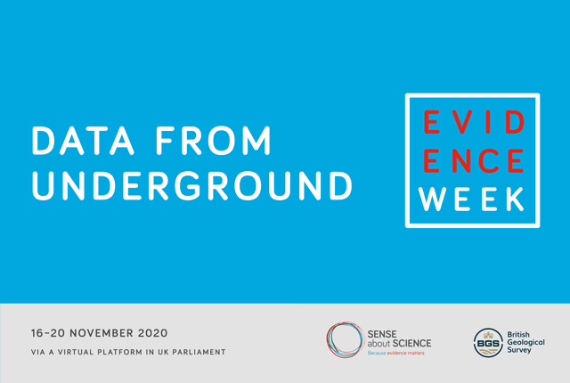
Evidence Week 2020
14/12/2020
The UK Geoenergy Observatories team took part in Evidence Week 2020 to talk to parliamentarians about the essential role of geoenergy in the energy mix to meet net zero.
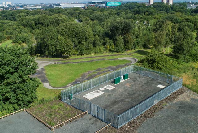
UK’s new underground observatory open for research
07/12/2020
The UK Geoenergy Observatory in Glasgow, which will give scientists an unprecedented look at the subsurface, holds its virtual opening.
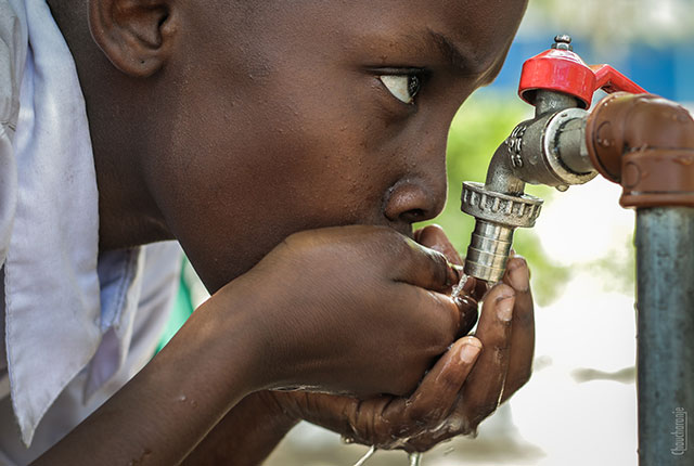
Real-time monitoring of faecally contaminated drinking water
04/12/2020
Tryptophan-like fluorescence (TLF) represents an approach to instantaneously assess microbial risks in drinking water.
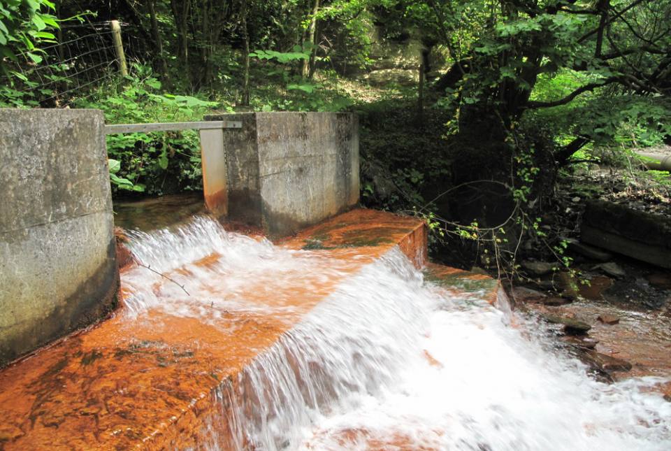
New maps reveal heat stored in Britain’s abandoned coal mines
01/12/2020
BGS and the Coal Authority have released maps which for the first time, reveal the extent to which heat is stored in Britain’s abandoned coal mines.

Developing new seismic hazard maps for the UK
30/11/2020
Understanding and quantifying the hazard earthquakes pose to the built environment in the UK.
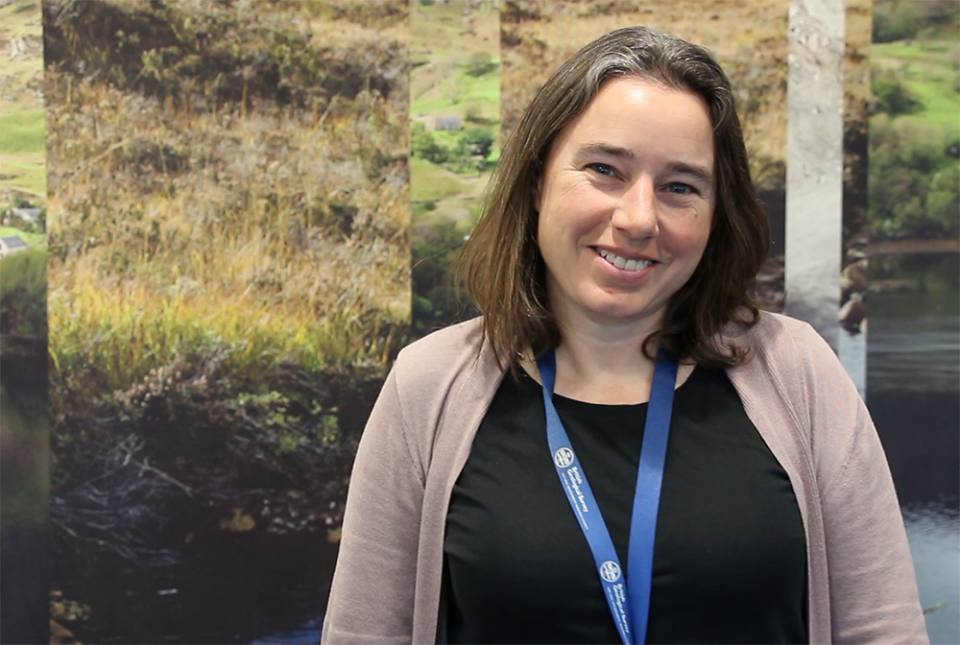
BGS’s Dr Kathryn Goodenough features in 100 Global Inspirational Women in Mining 2020
25/11/2020
Dr Kathryn Goodenough, Principal Geologist, of the British Geological Survey (BGS) has been recognised in the 2020 edition of ‘100 Global Inspirational Women in Mining’, a bi-annual publication which celebrates the extraordinary contribution of women in the global mining industry and identifies role models for future generations.