

Latest

New project mapping UK Continental Shelf provides boost to offshore infrastructure and development
22/10/2026
BGS is leading a three-year project funded by The Crown Estate to develop a new suite of seabed geology datasets and reports, providing crucial information for offshore developers about the seabed around the UK.
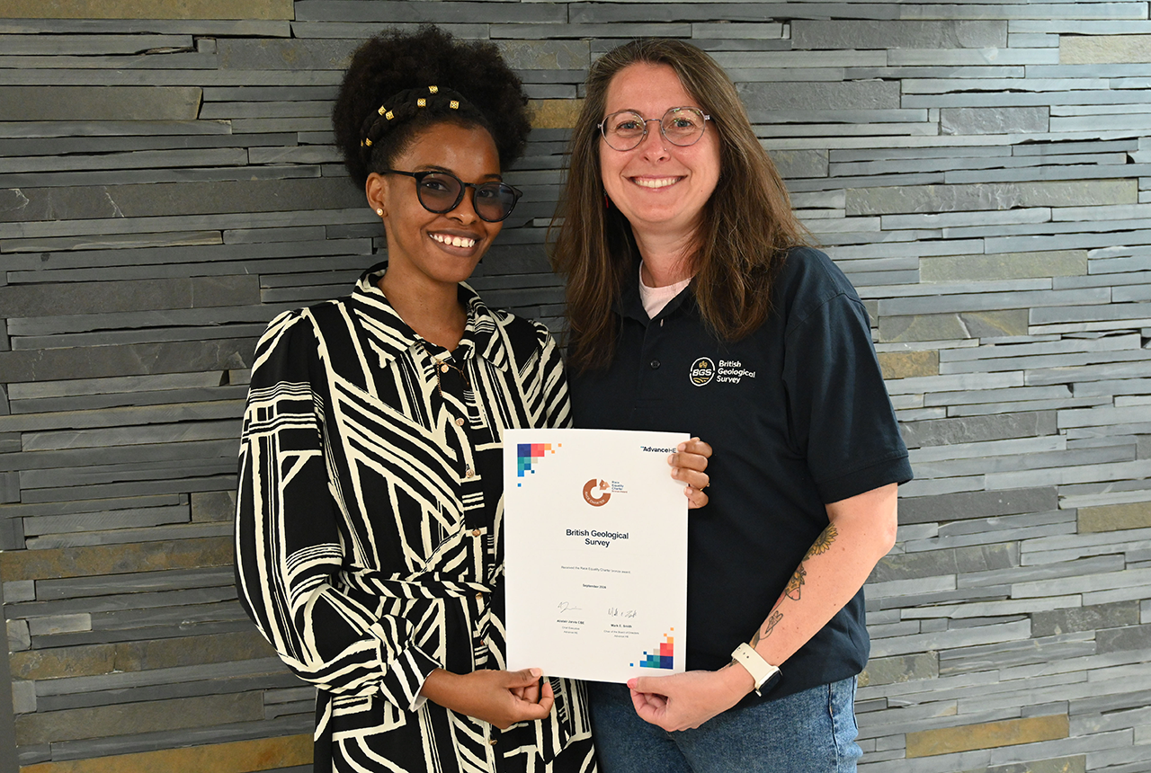
BGS one of the UK’s first specialist research institutes to receive Race Equality award
20/10/2026
BGS has secured Bronze accreditation under the Advance HE Race Equality Charter framework, recognising its commitment to identifying and addressing race equality issues in the geosciences.
Improving bioaccessibility testing for contaminated soils
15/10/2026
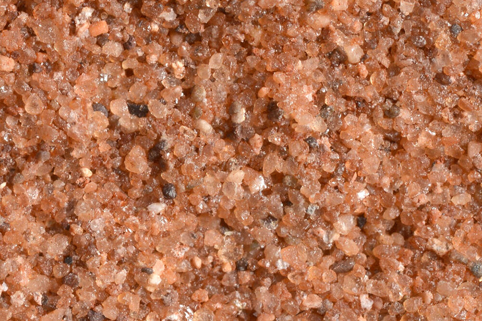
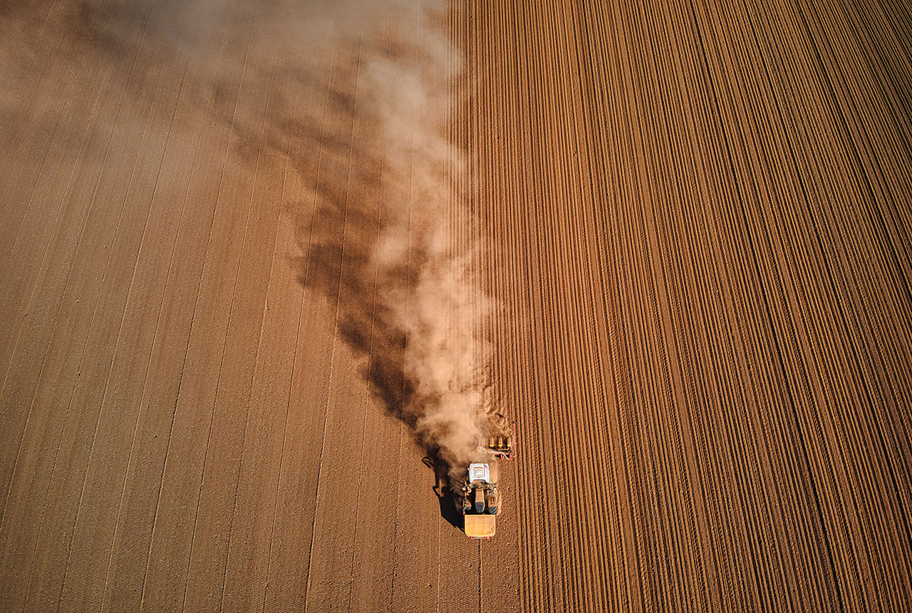
BGS has been trialling a novel bioaccessibility tracing technique to ascertain if it offers more analytical precision over traditional methods of detecting chemicals in contaminated soils.
Explore more news
Browse all news and events by category
BGS Strategy: public consultation
18/11/2022
We would welcome responses from anyone interested or involved in the geosciences as part of the wider consultation on our new BGS Strategy
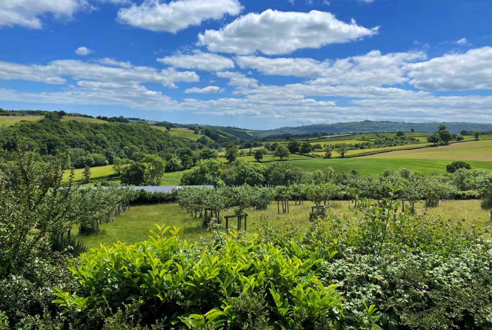
BGS supports development of a local land-use framework for Devon
10/11/2022
The framework will help to identify data improvements to support more joined-up decision making about land use in Devon.
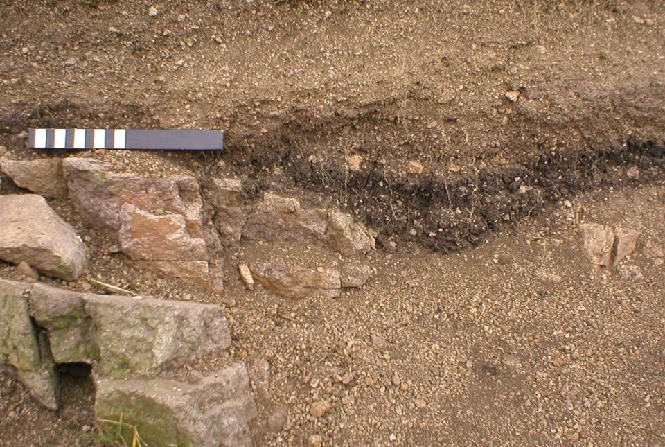
Understanding long-term burial of organic carbon deposits
07/11/2022
Carbon sequestration is one method of reducing the amount of carbon dioxide in the atmosphere, by capturing and storing it, contributing to climate change reduction.
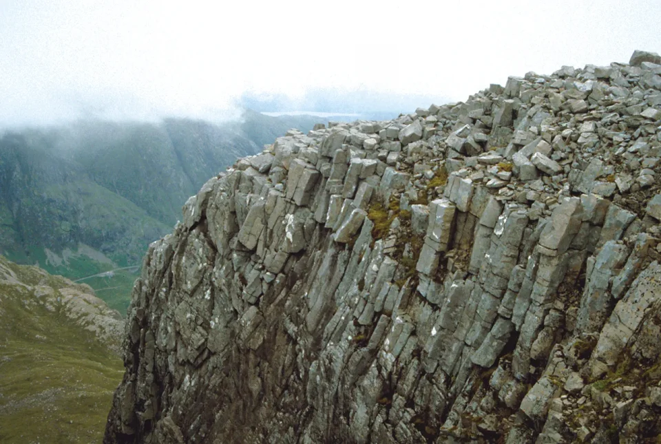
Spooky geology
31/10/2022
Explore thirteen of our favourite spooky geological hotspots around the UK.
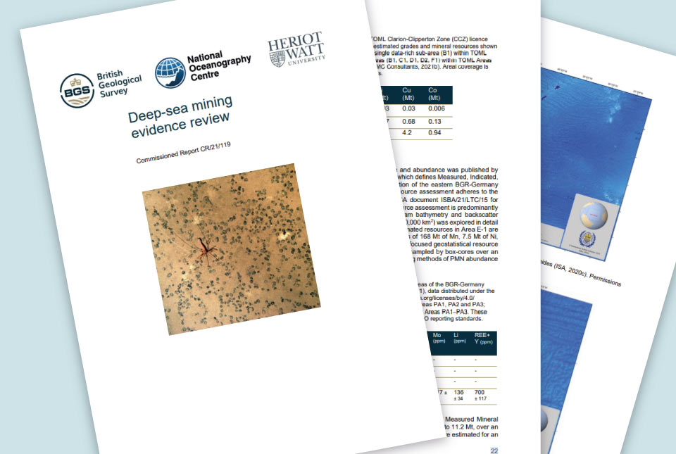
Deep-sea mining evidence review published
31/10/2022
The deep-sea mining independent evidence review report was commissioned by the UK Government to inform its policy in relation to deep-sea mining.
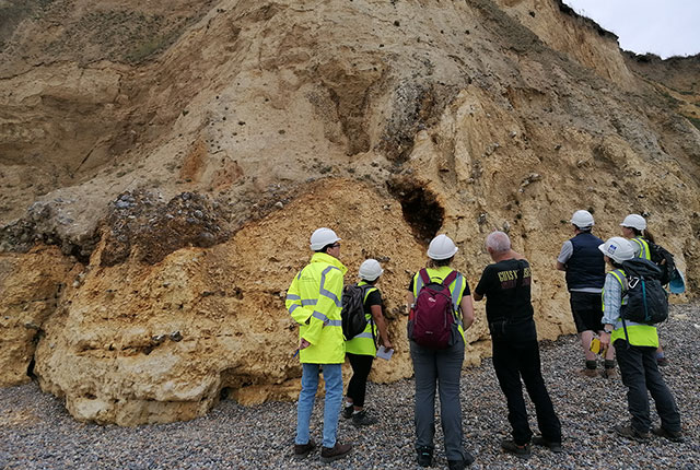
Notes from an applied glacial geology field course in Norfolk
28/10/2022
Marine geoscientist Catriona MacDonald and urban geologist Raushan Arnhardt share their experiences from a recent trip to north Norfolk to learn more about glacial geology.
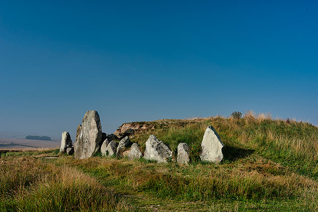
New lead isoscape map for archaeological provenance studies in Great Britain
28/10/2022
A new study aims to determine lead isotope ratios in soil and rock across Great Britain which could inform future archaeological studies about human and animal origins.
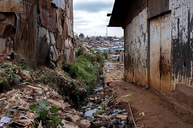
Accumulation of toxic substances in Nairobi’s river sediments
27/10/2022
Researchers have warned of the presence of toxic contaminants and untreated wastes accumulating in Nairobi’s Mathare, Ngong and Nairobi rivers.