Latest

New NERC-funded project empowers young people to engage with environmental science
23/07/2026
BGS is part of a new, collaborative project, funded through NERC’s ‘Opening up the environment’ programme, helping the environmental research community become more accessible.

Delving deep into mountains for future water security
16/07/2026
A BGS-led project is using new water-tracing investigation methods, geophysics and modelling to understand how water moves from mountains to the lowlands, helping to improve water security for billions of people.


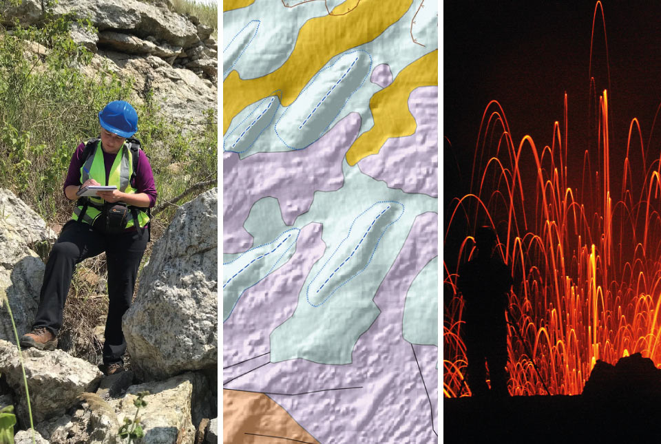
Building Europe’s geological future
20/07/2026
BGS scientists are contributing to a continent-wide initiative that is strengthening collaboration across borders to tackle shared subsurface challenges and unlock new opportunities.
Explore more news
Browse all news and events by category
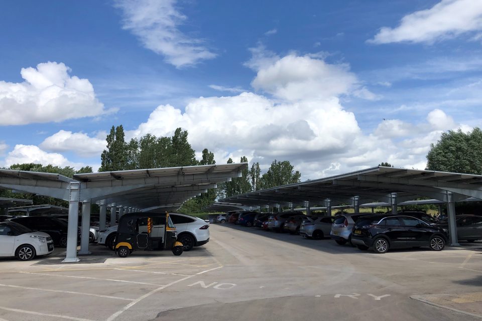
Work complete on 1000 solar panels at BGS
07/12/2022
More than 1000 energy-saving solar panels have been installed at BGS's headquarters in Keyworth, Nottinghamshire.
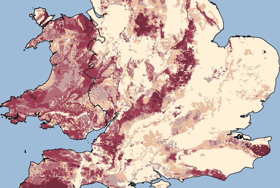
Updated radon map for Great Britain published
02/12/2022
The UK Health Security Agency and BGS have published an updated radon potential map for Great Britain.
UK Geoenergy Observatories: time zero for net zero
01/12/2022
The BGS-led UK Geoenergy Observatories project is shining a light on the subsurface’s potential to provide geothermal energy.

BGS scientists on board research vessel in Japan in major marine research collaboration
25/11/2022
Experts from BGS's marine team are part of a major international marine research collaboration to understand more about earthquakes associated with the Japan Trench.

Building underneath the Colosseum: the importance of urban geology
21/11/2022
Tim Kearsey reports on his underground excursion around Rome.
Introducing the BGS Debris Flow Susceptibility Model for Great Britain
21/11/2022
Debris flows are a landslide hazard of particular concern to transport infrastructure managers and local authorities.
BGS Strategy: public consultation
18/11/2022
We would welcome responses from anyone interested or involved in the geosciences as part of the wider consultation on our new BGS Strategy
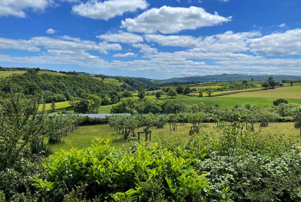
BGS supports development of a local land-use framework for Devon
10/11/2022
The framework will help to identify data improvements to support more joined-up decision making about land use in Devon.