Latest

New NERC-funded project empowers young people to engage with environmental science
23/07/2026
BGS is part of a new, collaborative project, funded through NERC’s ‘Opening up the environment’ programme, helping the environmental research community become more accessible.

Delving deep into mountains for future water security
16/07/2026
A BGS-led project is using new water-tracing investigation methods, geophysics and modelling to understand how water moves from mountains to the lowlands, helping to improve water security for billions of people.


Building Europe’s geological future
20/07/2026
BGS scientists are contributing to a continent-wide initiative that is strengthening collaboration across borders to tackle shared subsurface challenges and unlock new opportunities.
Explore more news
Browse all news and events by category
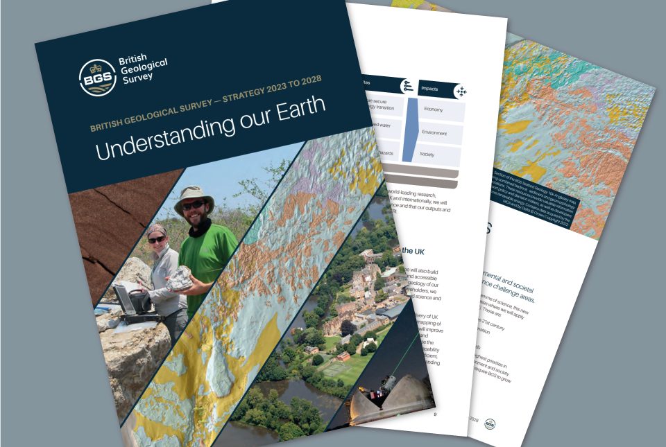
BGS maps out priorities with five-year strategy
11/05/2023
BGS publishes its new strategy for 2023 to 2028, 'Understanding our Earth'.
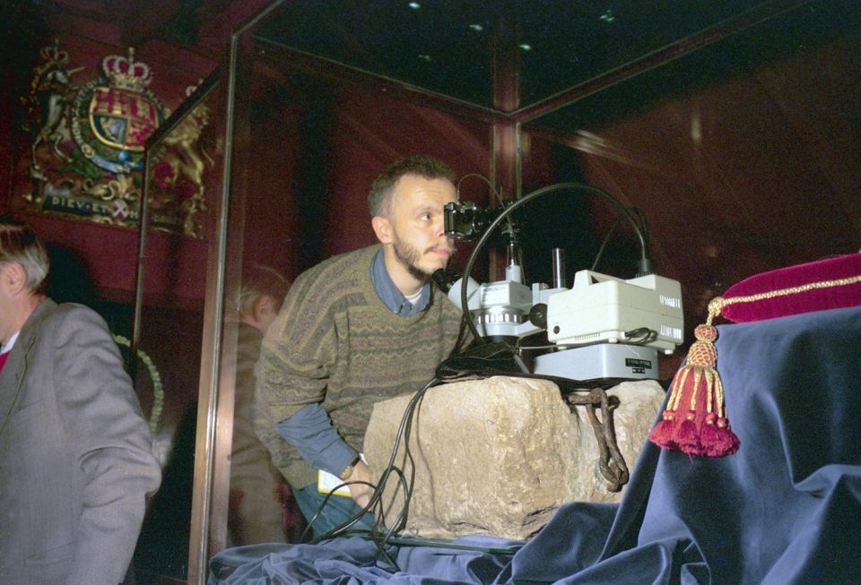
The Stone of Destiny
03/05/2023
The origins of the Stone of Scone: where it came from, why BGS has crumbs of it in its collections and the little-known fact that it is upside down.
Improvements to borehole delivery
25/04/2023
BGS releases improvements to its borehole layer on the GeoIndex, which makes access faster and improves quality.

Island groundwater management in the Philippines: part one — Boracay
19/04/2023
BGS’s Andy Barkwith and Andy McKenzie travelled to the Philippines to undertake collaborative research and outreach with Filipino partners for a national hydrological modelling project. In this first blog, they discuss the first week of work on small islands.
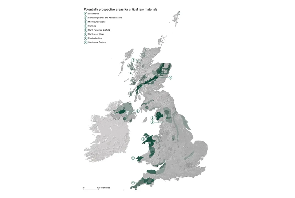
Report identifies areas of the UK prospective for critical raw materials
17/04/2023
Areas from the Highlands to south-west England have the right geology to be prospective for several critical raw materials such as lithium and graphite, according to a new report.
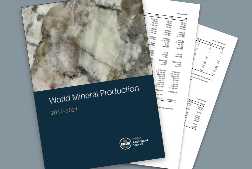
World Mineral Production 2017 to 2021 is now available
14/04/2023
The latest edition of World Mineral Production has been released.
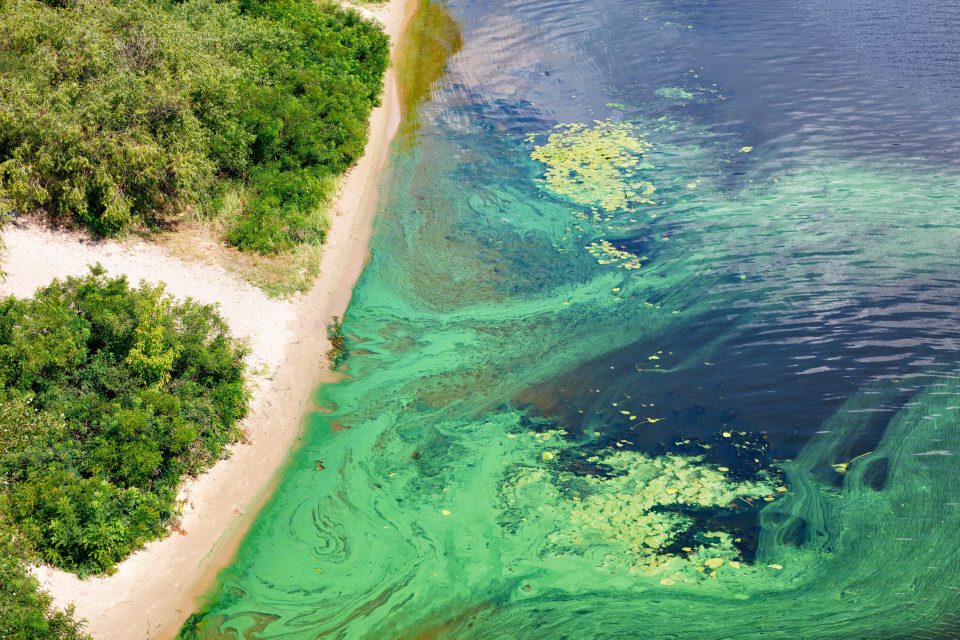
How does public water use influence the amount of phosphorus in the environment?
11/04/2023
New research looks at how phosphorus accumulates in public water systems in the USA.
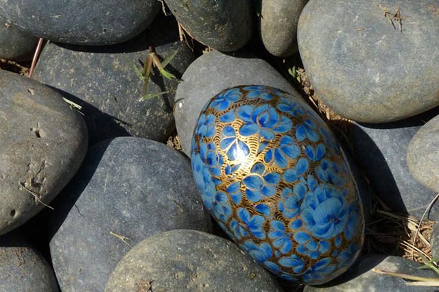
Six ‘eggs’-tremely tenuous links between geology and Easter
06/04/2023
Think that geology and Easter don’t have anything in common? You might be surprised, as this blog by BGS’s Kirstin Lemon highlights.