Latest

UK Critical Minerals Intelligence Centre makes recommendations for the next UK criticality assessment
01/07/2026
CMIC has outlined the enhancements made to the next assessment update to ensure it is better tailored to the structure of the UK economy.

From archive to discovery: historical mineral reports support gold exploration in Scotland
25/06/2026
Digitised geological records show potential to unlock untapped mineral resources in Ardlochan, Argyllshire.


Strengthening capacity through partnership: a critical minerals perspective
28/04/2026
BGS has been working in partnership with the Geological Survey Department of Zambia (GSD) to build national capacity, improve data accessibility and support long-term, sustainable development.
Explore more news
Browse all news and events by category
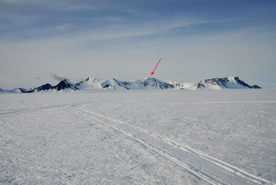
Antarctic mountain named in honour of BGS scientist
06/11/2023
BGS’s Ian Millar has been honoured for his geological research in Antarctica by having a mountain on the continent named after him.
Industry-leading data sharing partnership announced
02/11/2023
A data sharing partnership has been agreed between BGS and Ossian, allowing BGS to advance its knowledge of the rock and soil conditions under the seabed.
The art of boreholes: Essex artists visit the BGS to be inspired by our library of geological core
02/11/2023
Two UK-based artists visitors aim to turn art and earth science into a collaborative experience that facilitates discussion on land usage.
New method developed to identify wetland inhabitants
01/11/2023
BGS-led research has helped develop a method to identify ancient human and animal wetland inhabitants.
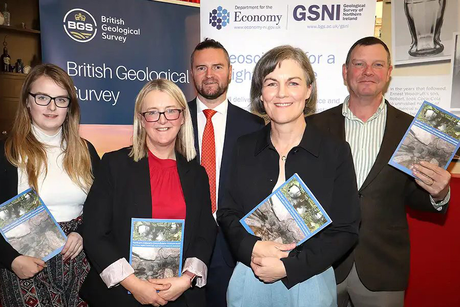
New book launched on groundwater in Northern Ireland
30/10/2023
BGS and the Geological Survey of Northern Ireland (GSNI) have launched a new book and map on Northern Ireland’s groundwater.
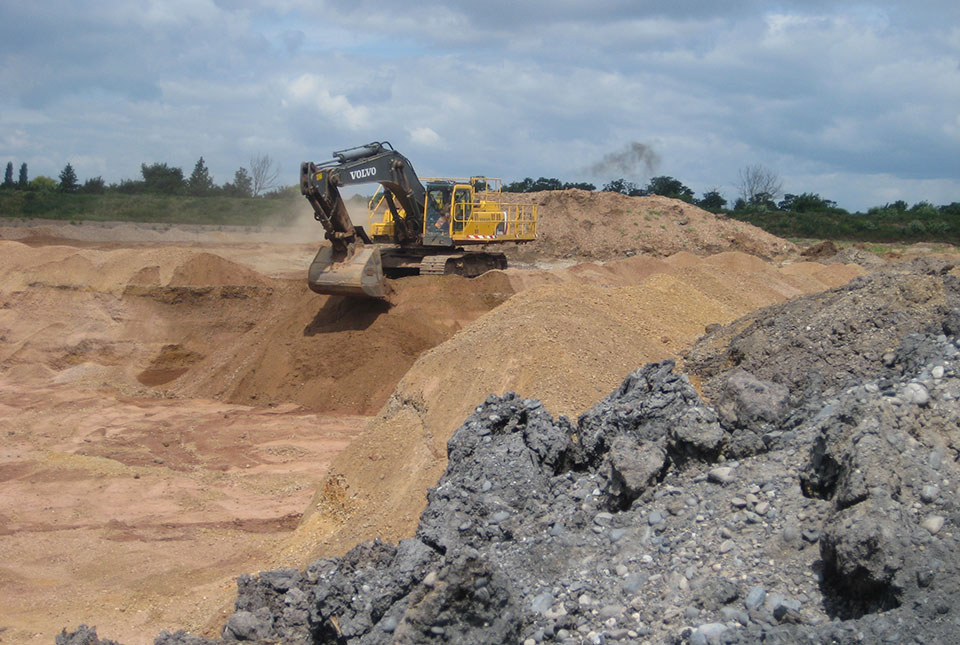
Good practice for sand mining
24/10/2023
Tom Bide and Clive Mitchell outline how BGS is working on geoscience-led solutions for the global issue of sand mining.

Dr Gavin Mudd appointed director of the UK Critical Minerals Intelligence Centre
19/10/2023
Dr Gavin Mudd brings with him expertise in sustainable mining, environmental impacts and management of mine waste.
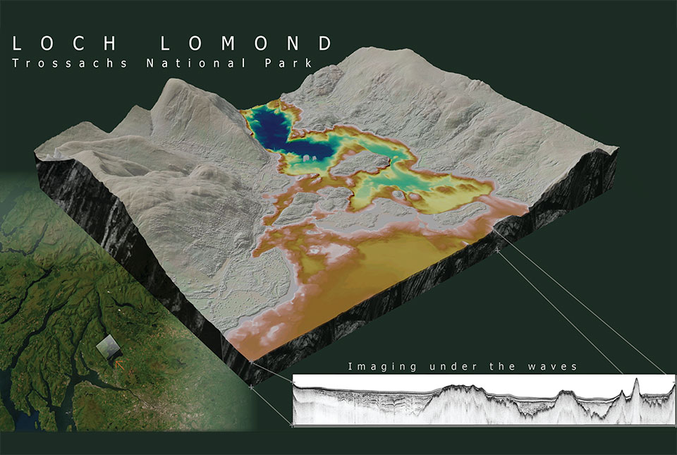
What lies beneath Loch Lomond?
17/10/2023
BGS geoscientists have visualised what lies beneath the waves of Loch Lomond, revealing an image of the loch bed and various sedimentary features of the subsurface.