Latest

From archive to discovery: historical mineral reports support gold exploration in Scotland
25/06/2026
Digitised geological records show potential to unlock untapped mineral resources in Ardlochan, Argyllshire.

UK and Philippines scientists investigate natural hydrogen generation processes at atomic scale
22/06/2026
BGS researchers were granted access to use the Diamond Light Source facility in order to study hydrogen in light brighter than the sun.


Strengthening capacity through partnership: a critical minerals perspective
28/04/2026
BGS has been working in partnership with the Geological Survey Department of Zambia (GSD) to build national capacity, improve data accessibility and support long-term, sustainable development.
Explore more news
Browse all news and events by category

UK bidding to host the International Geological Congress 2028
18/03/2024
BGS has partnered with the Geological Society of London and the Scottish Geology Trust to develop a bid to host the 38th International Geological Congress in Glasgow in 2028.
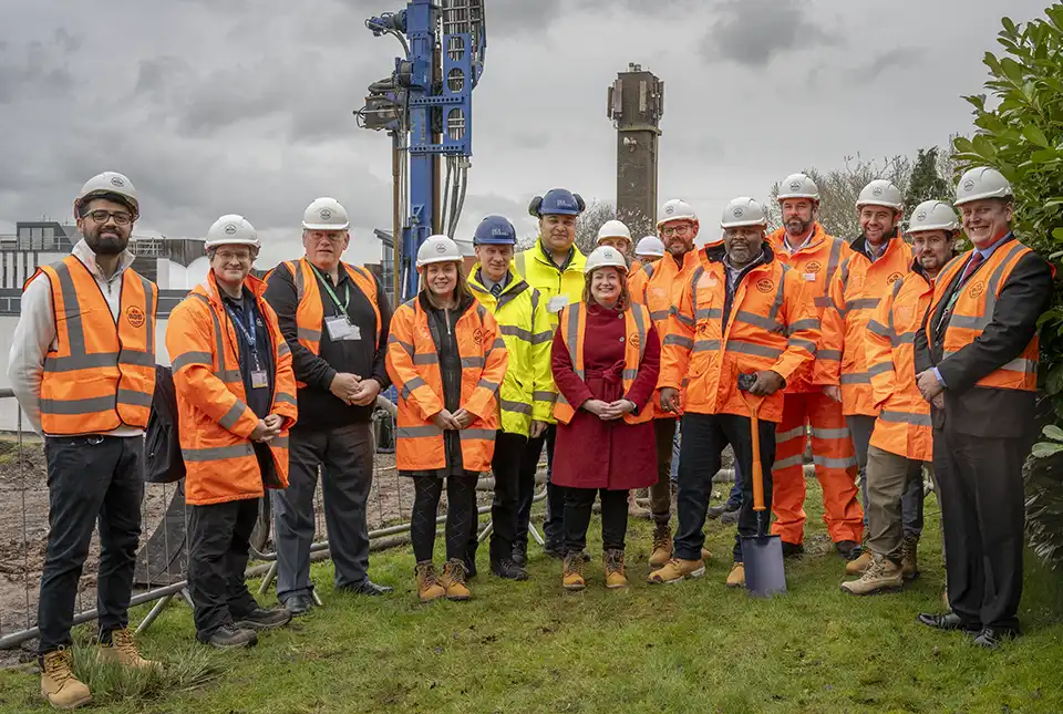
Local MP helps BGS launch a ‘living laboratory’
05/03/2024
BGS is implementing a low-carbon heating system to help meet its net zero targets and provide data to the public.
Scientists produce first record of environmental data off coast of Hawai’i
01/03/2024
An international team of researchers, including BGS geoscientists, have succeeded in acquiring a continuous record of environmental data using fossilised coral from Hawai’i.

BGS data product licence fees to rise
01/03/2024
New direct licence fees to be introduced from 1 April 2024.
BGS seismologist named editor-in-chief of Geophysical Journal International
29/02/2024
Margarita Segou has been appointed as the editor-in-chief of one of the world’s leading, peer-reviewed research journals in solid-Earth geophysics.
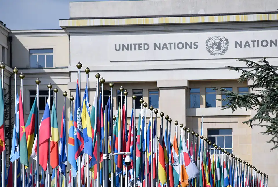
BGS to help deliver International Centre of Excellence on Sustainable Resource Management
27/02/2024
BGS has been announced as part of a consortium approved by the UN to deliver its International Centres of Excellence on Sustainable Resource Management.
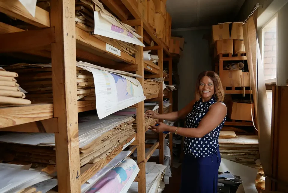
Unlocking key mineral archives at the Zambian Geological Survey Department
23/02/2024
Rachel Talbot recounts a recent visit by BGS Records staff to the Zambian Geological Survey Department, to assist in critical mineral data management.