

Latest
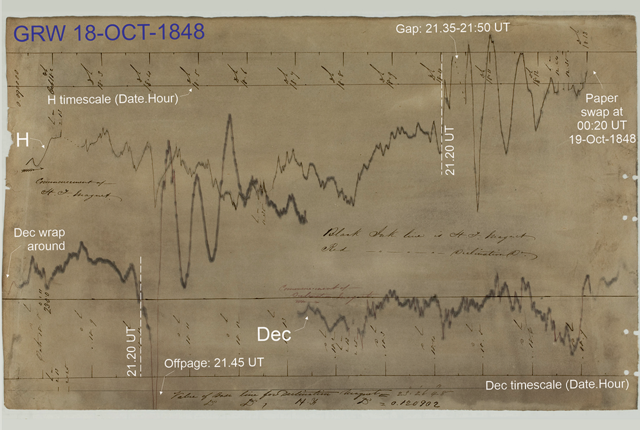
Mystery of one of the earliest recorded space weather impacts solved
17/09/2026
BGS scientists were part of an international team that has solved a 178-year-old mystery surrounding one of the earliest recorded examples of space weather affecting technology.
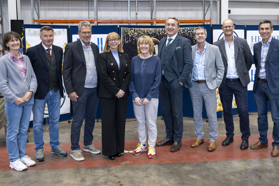
The Lyell Centre celebrates 10 years of world-leading earth and marine science research
07/09/2026
The Lyell Centre for Earth and Marine Sciences, a strategic partnership between Heriot-Watt University and BGS, is celebrating its 10th anniversary, marking a decade of world-leading research, innovation and collaboration in earth and marine sciences.
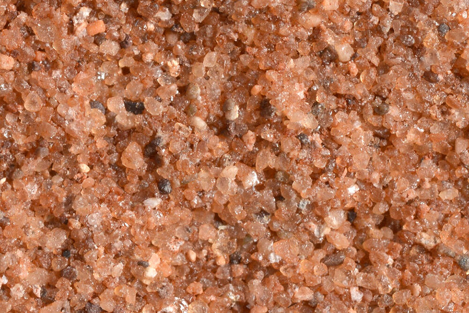

Measuring the environmental impacts of carbon fibre: life cycle assessment
01/09/2026
Undergraduate student Phoebe Brown visited BGS to understand the life cycle of carbon fibre, from primary production to recycling.
Explore more news
Browse all news and events by category
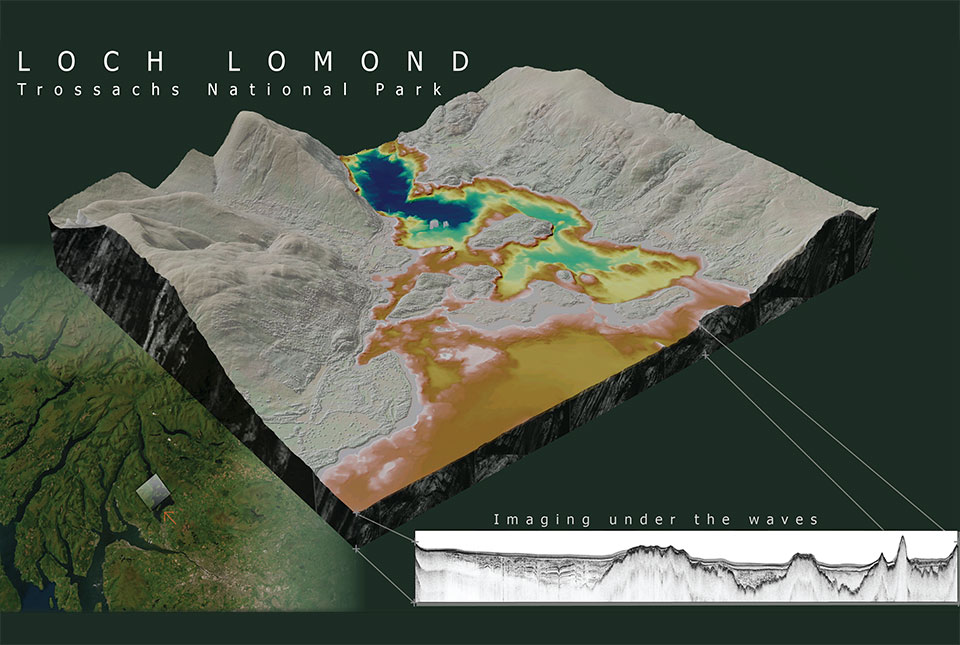
What lies beneath Loch Lomond?
17/10/2023
BGS geoscientists have visualised what lies beneath the waves of Loch Lomond, revealing an image of the loch bed and various sedimentary features of the subsurface.
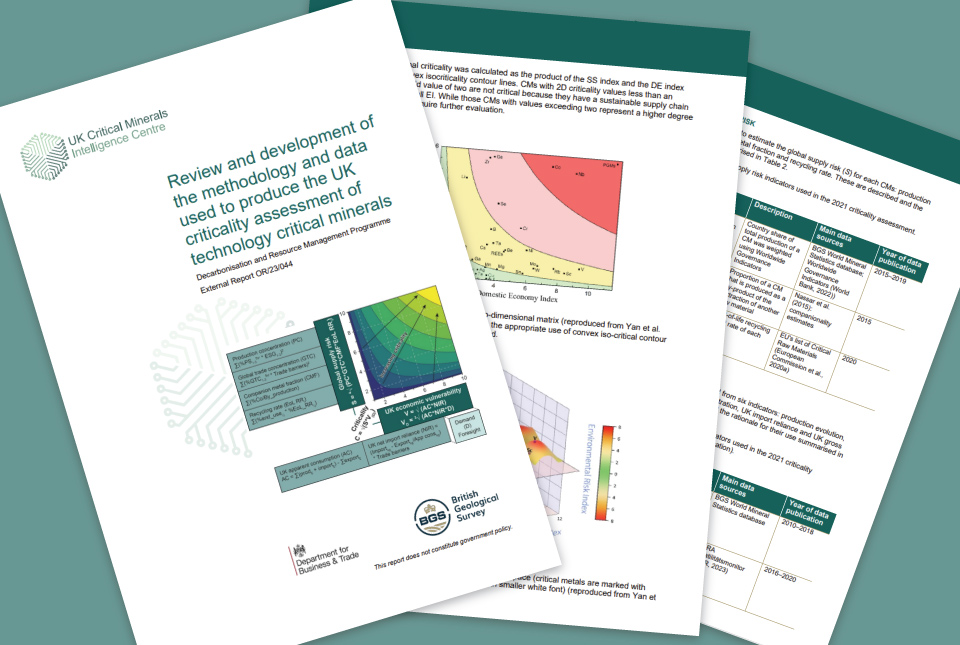
UK assessment of technology-critical minerals and metals
12/10/2023
New publication by the UK Critical Mineral Intelligence Centre sets out a revised methodology
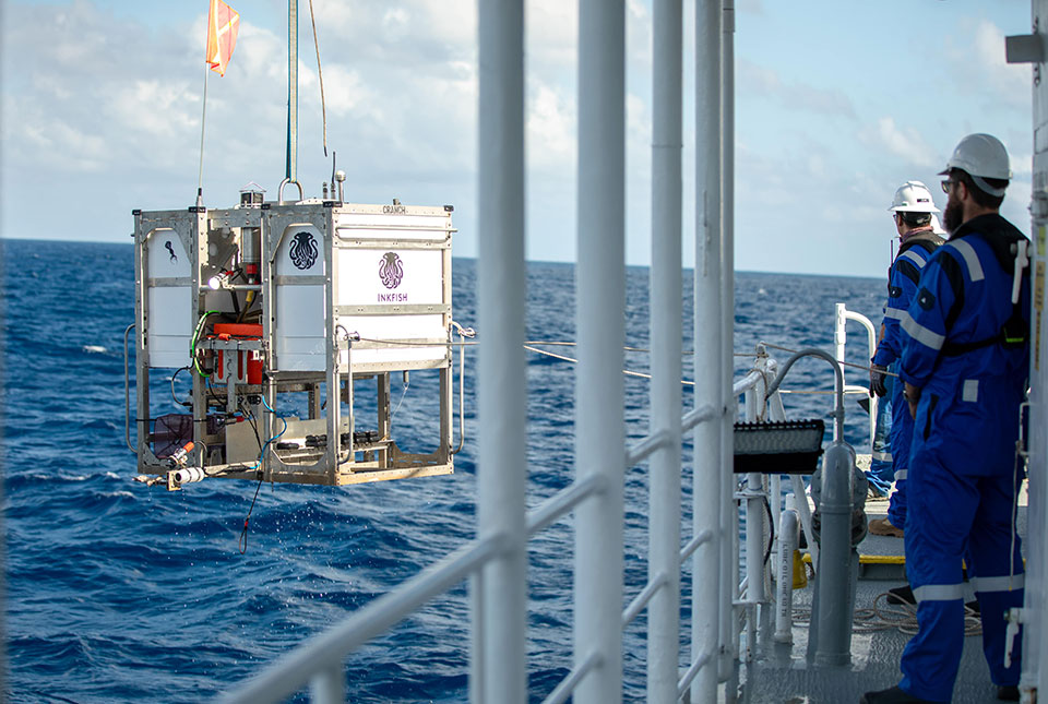
Trans-Pacific Transit 2023: deep-diving ocean partnership sets sail
04/10/2023
BGS has joined a multidisciplinary research expedition to ‘explore the unexplored’ and fill in some of the biggest gaps in our knowledge of the oceans' darkest depths.
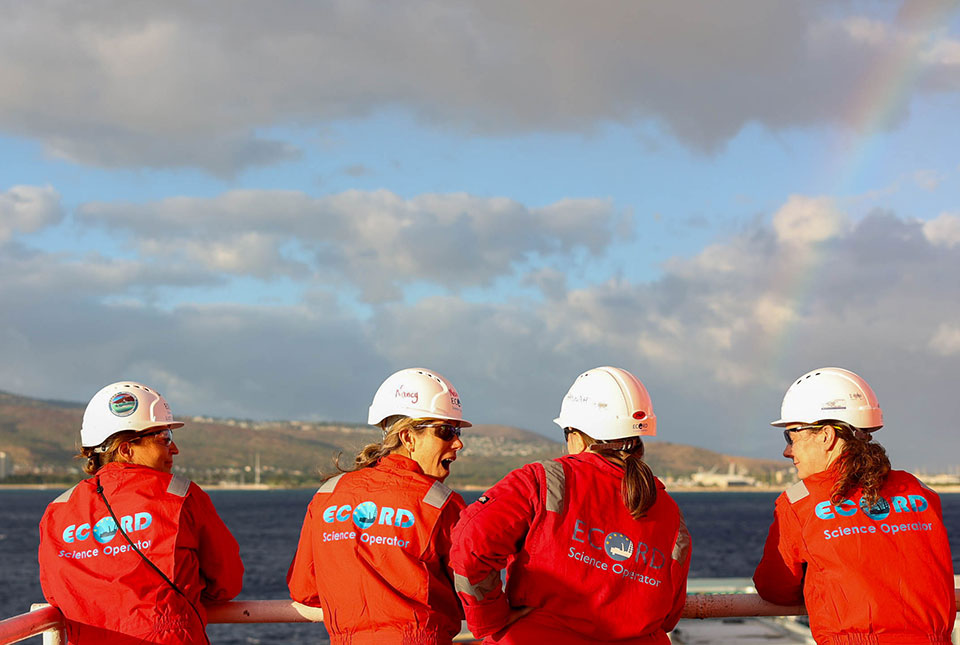
Scientists set sail to investigate high-resolution sea level, climate and coral reef records
25/09/2023
BGS scientists are taking part in an expedition off Hawai'i to investigate sea-level changes recorded by ancient coral reefs.
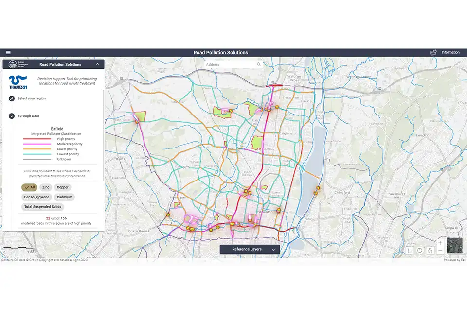
‘First of its kind’ online tool created to help tackle pollution in London
04/09/2023
The new Road Pollution Solutions tool predicts pollution levels from road runoff and suggests nature-based solutions to combat it.

Evolving policies in the face of climate change: BGS data can help
25/08/2023
Climate change is increasingly recognised as a major challenge for organisations, with the need for adaptation driving a wave of policy updates and reforms across multiple sectors. BGS data holdings are relevant to many of these changes and the following examples outline how these data packages can be applied.
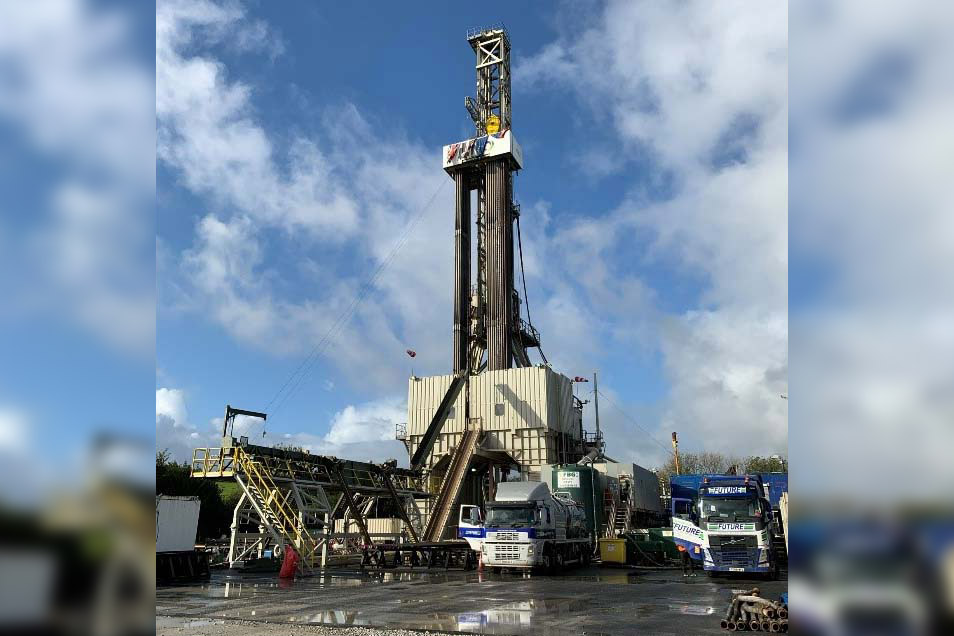
New report assesses deep geothermal energy in the UK
17/07/2023
A new BGS report assesses the current situation around and future potential of deep geothermal energy in the UK.
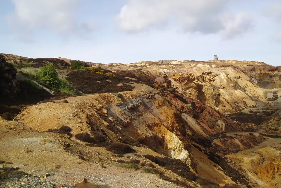
Mineral investigation reports released online
07/07/2023
Reports from over 260 mineral exploration projects are now freely available on BGS’s GeoIndex.