New data reveals latest mineral workings around Great Britain and Northern Ireland
The newest release of BGS BritPits provides information on an additional 6500 surface and underground mineral workings.
01/04/2025 By BGS Press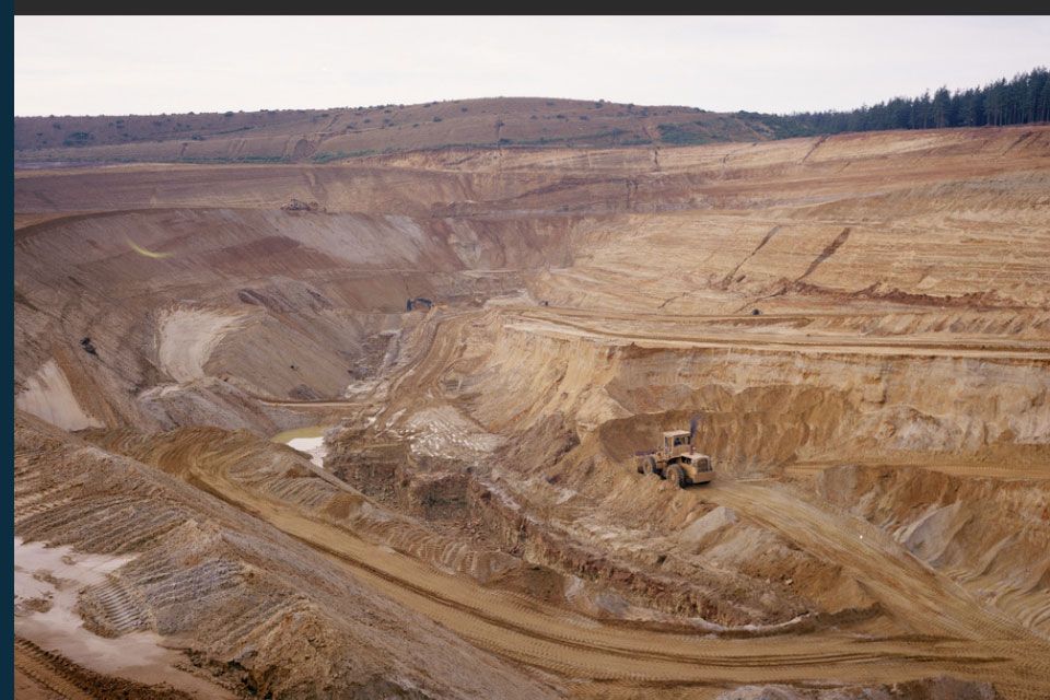

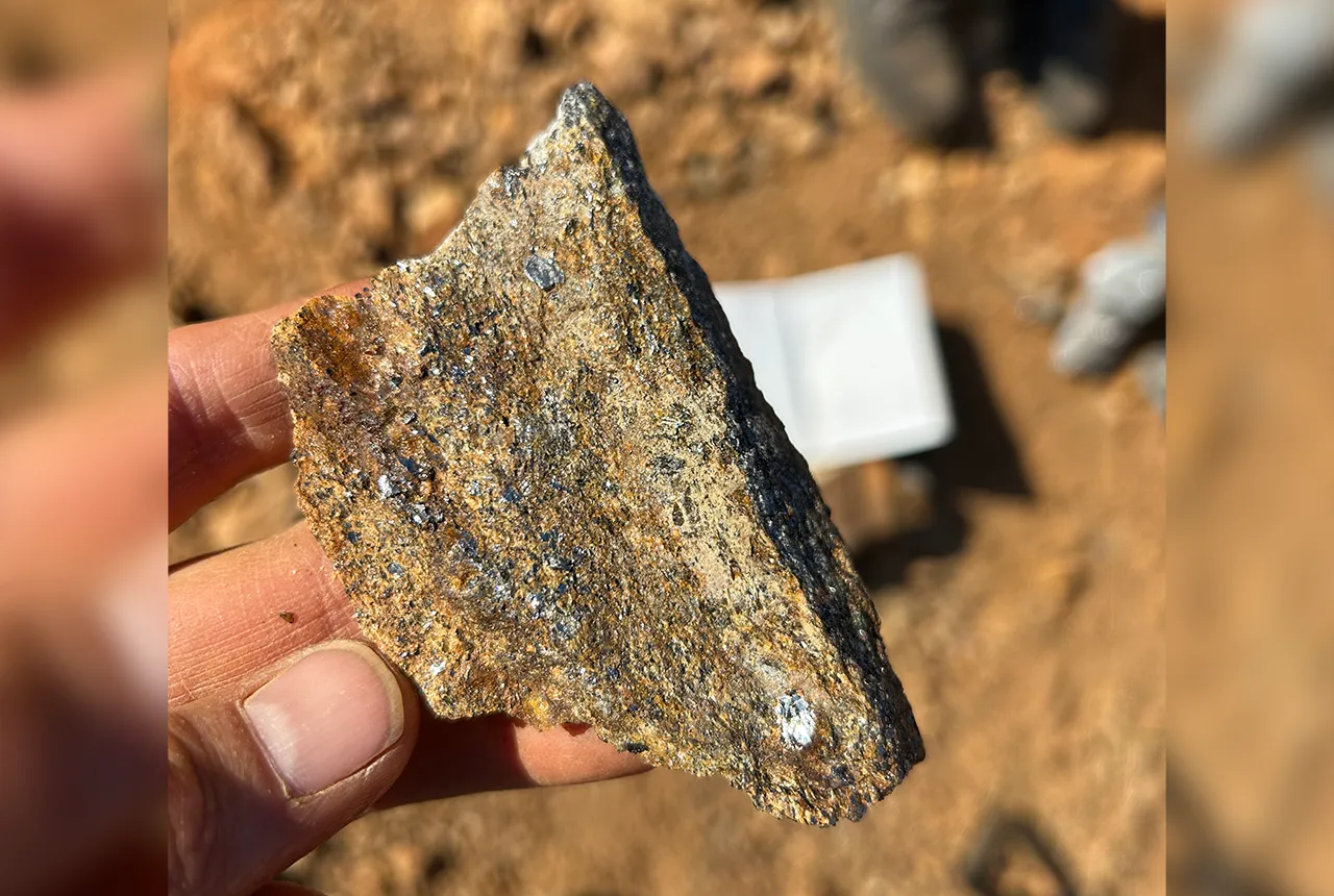
The latest release of the BGS BritPits dataset covers more than 260 000 mineral workings in Great Britain, Northern Ireland, the Isle of Man and the Channel Islands.
The data includes active, inactive, dormant and ceased sites, as well as a range of mineral operations including mines, quarries, onshore oil and gas fields, wharfs and rail depots handling mineral products and industrial processes. Each entry describes an onshore mineral working in terms of its name, operational status, geographical location, Mineral Planning Authority, operator, the geology worked and the mineral commodity produced.
This data is of particular value to organisations with an interest in the location of mineral extraction sites and their potential for further use. For example, BritPits data has been supplied to:
- national and local governments, for use in planning and statistical studies
- non-governmental organisations, for environmental and conservation planning
- commercial organisations, for analysis of resource potential and legacy operations
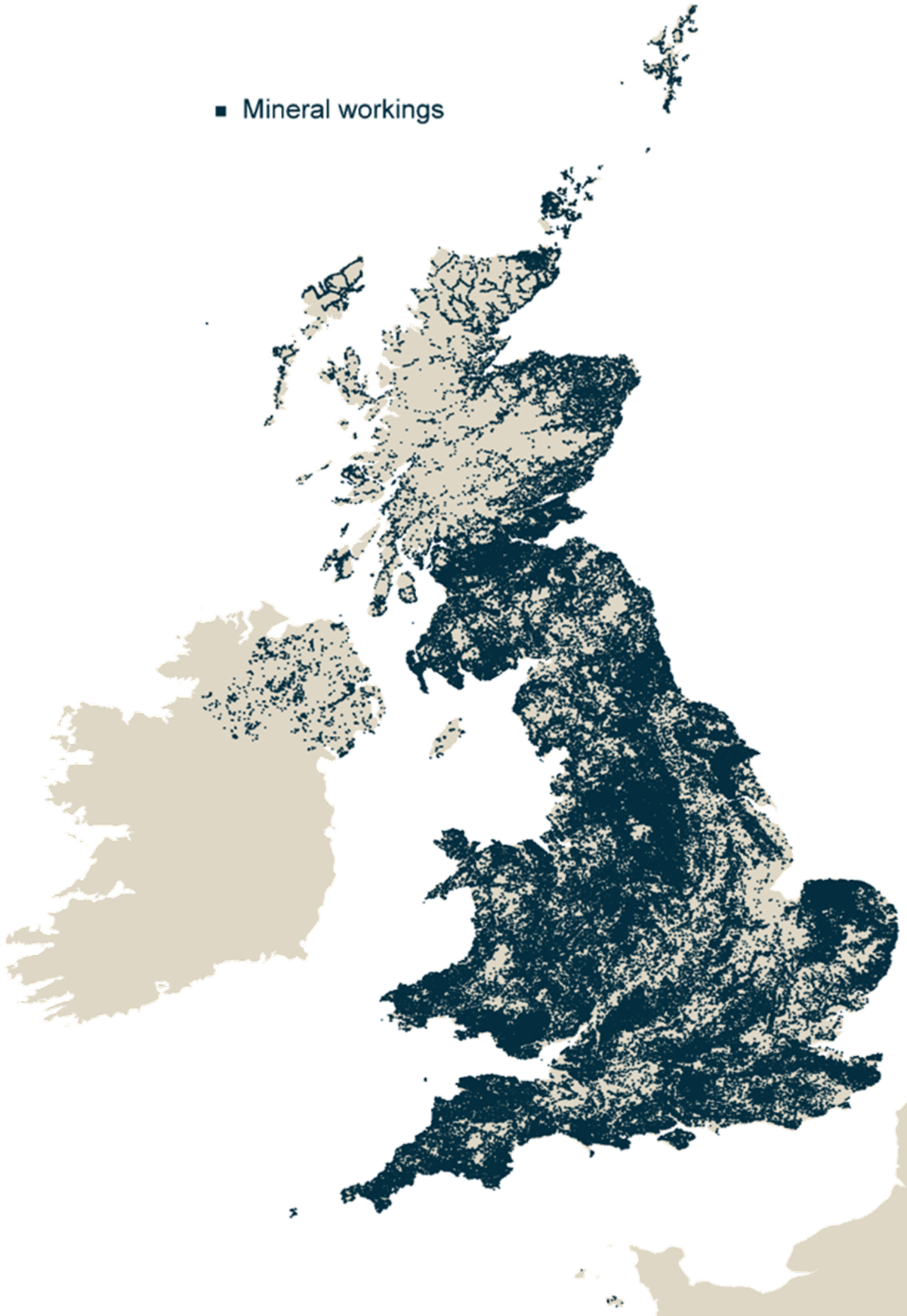
BritPit locations. BGS © UKRI – Contains OS data © Crown copyright and database right 2025
BGS BritPits is available in three different packages:
Two licenced packages are available in GIS and CSV formats.
The full dataset includes all the entries of the BGS BritPits database, including historic sites. This data is also available for specific mineral planning areas (MPAs). The full dataset is available as a GIS or CSV format and can be accessed as a Web Map Service (WMS) layer or via the BGS Onshore GeoIndex.
The AID data package is a subset of the full dataset and includes only the active, inactive and dormant mines and quarries (around 5200 entries).
Index level information is available to view via the BGS GeoIndex and access as a WMS link under the Open Government Licence (OGL). This is based on the full BritPits dataset but contains index-level information only on the name, status and location of the working. More detailed information on commodities, MPAs, operator, etc. are reserved for the licensed version.
Further information is available through the BGS BritPits dataset page or by contacting the digital data team.
Relative topics
Related news

Map of BGS BritPits showing the distribution of worked mineral commodities across the country
18/02/2026
BGS’s data scientists have generated a summary map of the most commonly extracted mineral commodities by local authority area, demonstrating the diverse nature of British mineral resources.

Funding awarded to map the stocks and flows of technology metals in everyday electronic devices
12/02/2026
A new BGS project has been awarded Circular Electricals funding from Material Focus to investigate the use of technology metals in everyday electrical items.
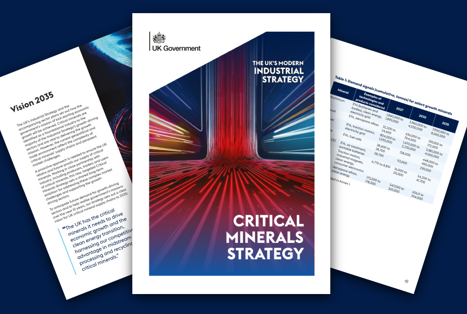
BGS welcomes publication of the UK Critical Minerals Strategy
23/11/2025
A clear strategic vision for the UK is crucial to secure the country’s long-term critical mineral supply chains and drive forward the Government’s economic growth agenda.
Is your region susceptible? Britain’s geohazard hotspots revealed
14/08/2025
From sinkholes to radon: new maps highlight the most geologically at-risk regions
Zambia’s first critical minerals guide supports the country’s potential in global clean energy transition
18/07/2025
A new guide to Zambia’s critical minerals highlights the country’s current and potential critical mineral resources, including cobalt and lithium.
Funding awarded to UK/Canadian critical mineral research projects
08/07/2025
BGS is part of a groundbreaking science partnership aiming to improve critical minerals mining and supply chains.
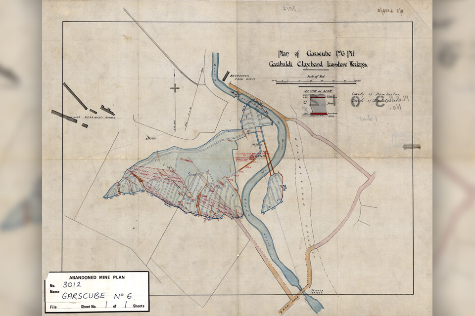
Release of over 500 Scottish abandoned-mine plans
24/06/2025
The historical plans cover non-coal mines that were abandoned pre-1980 and are available through BGS’s plans viewer.
UK Minerals Yearbook 2024 released
21/05/2025
The annual publication provides essential information about the production, consumption and trade of UK minerals up to 2024.
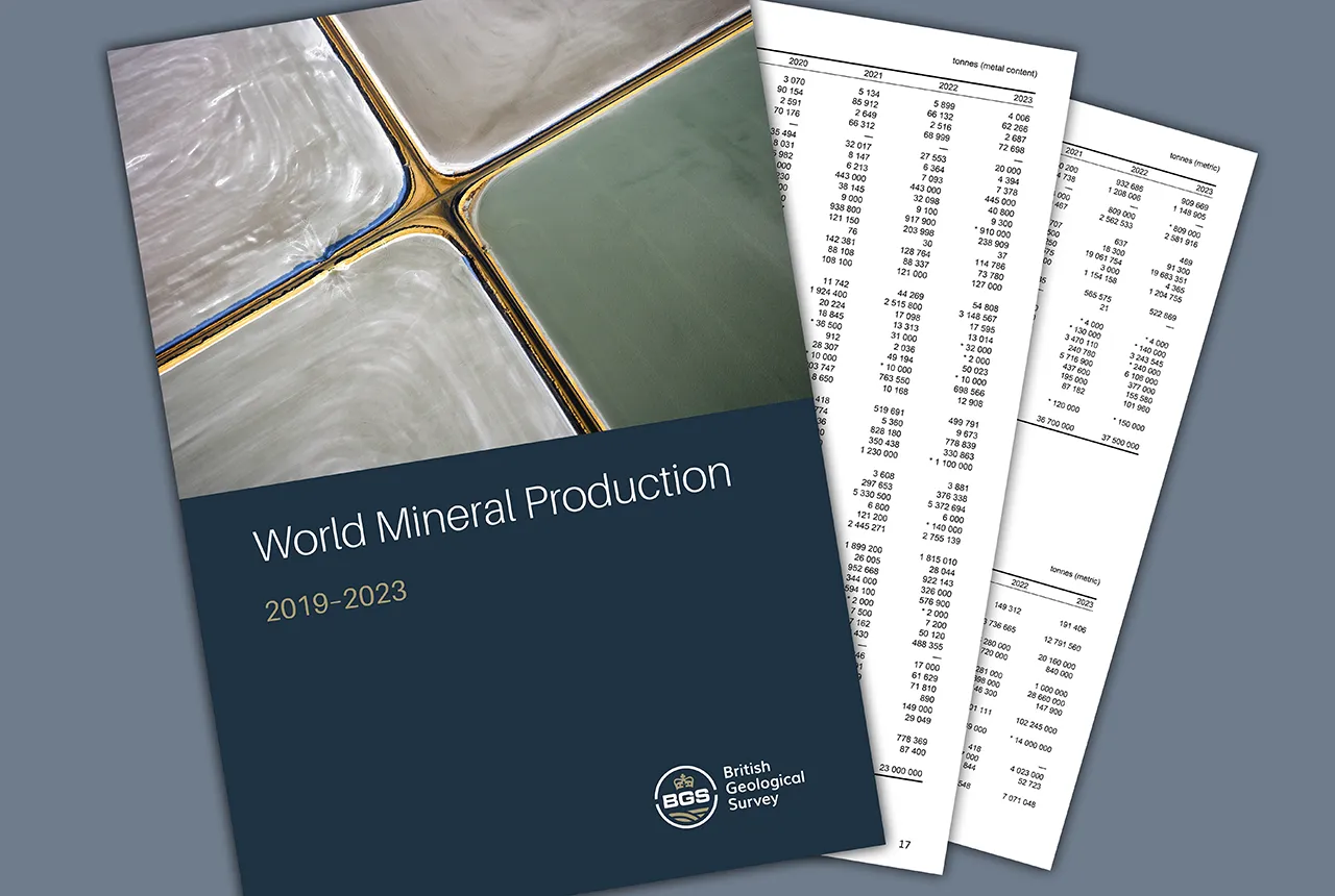
Latest mineral production statistics for 2019 to 2023 released
28/04/2025
More than 70 mineral commodities have been captured in the newly published volume of World Mineral Production.
New data reveals latest mineral workings around Great Britain and Northern Ireland
01/04/2025
The newest release of BGS BritPits provides information on an additional 6500 surface and underground mineral workings.
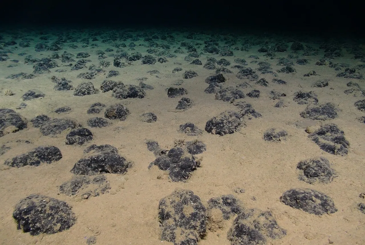
New study reveals long-term effects of deep-sea mining and first signs of biological recovery
27/03/2025
BGS geologists were involved in new study revealing the long-term effects of seabed mining tracks, 44 years after deep-sea trials in the Pacific Ocean.
Future projections for mineral demand highlight vulnerabilities in UK supply chain
13/03/2025
New Government-commissioned studies reveal that the UK may require as much as 40 per cent of the global lithium supply to meet anticipated demand by 2030.