The Ground Engineering Awards are hailed as some of the most prestigious awards in the geotechnical industry, celebrating outstanding projects, people and business achievements over the last 12 months.
BGS is among eleven UK businesses and organisations to be shortlisted in the category for Technical Excellence, with the winners set to be announced at a virtual ceremony on Wednesday 4 November.
The Lower Thames Crossing (or Third Thames Crossing) is a major infrastructure project involving a proposed new road crossing of the River Thames estuary linking the county of Kent with the county of Essex through Thurrock.
Part of the biggest investment in the country’s road network for a generation, according to Highways England, it is proposed to include the longest road tunnel in the UK, stretching 2.6 miles, in addition to 14.3 miles of new road, and around 50 new bridges and viaducts offering better journeys and fewer delays.
BGS has undertaken work to help accurately identify and predict ground conditions, which is essential for optimising the design of the scheme.
BGS is being recognised for technical excellence due to its use of innovative methods to characterise the spatial distribution and size of flints that will help to inform the design of tunnelling equipment, and its use of passive seismic data to produce a 3D ground model.
Having an accurate model of the Superficial and Bedrock deposits reduces the potential risk of unforeseen ground conditions for the tunnel and the associated infrastructure including the motorway network.
Identifying the precise stratigraphical level of the Superficial and Bedrock deposits that the proposed tunnel intersects, was critical to quantifying the potential amount of flint present and their impact on tunnelling equipment.
Understanding the proportion of flints, their size, geometry and distribution will help inform the design of the tunnel boring machines and the chalk slurry treatment plants which this will impact on, as any delays in tunnelling will cost money.
Ricky Terrington, BGS 3D Geospatial Lead
The work, carried out on behalf of the Lower Thames Crossing-CASCADE Consortium, draws on a range of expertise at BGS, including field geologists, palaeontologists, geophysicists and laser scanning technicians.
BGS used in situ field measurements of flints, coupled with data from high resolution optical intensity laser scans from old chalk pits and sections, to measure the size and distribution of individual flints and bands.
This data is tied to a high-resolution Chalk stratigraphy so that predictions of flint size and distribution in the proposed tunnel route can be estimated.
Novel passive seismic geophysical surveys were used to identify rockhead and the base-Palaeogene surface across the route corridor, calibrated using borehole logs.
The small, portable nature of the equipment and rapid data acquisition enabled BGS to survey rapidly and reliably, including areas where traditional invasive SI methods were not possible.
This is both quicker and cheaper than using traditional ground investigation methods, giving greater confidence to the ground model and reducing risk.
Relative topics
Latest news
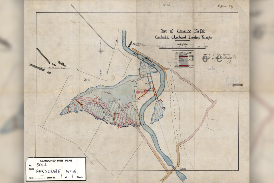
Release of over 500 Scottish abandoned-mine plans
24/06/2025
The historical plans cover non-coal mines that were abandoned pre-1980 and are available through BGS’s plans viewer.
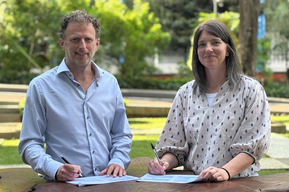
New collaboration aims to improve availability of real-time hazard impact data
19/06/2025
BGS has signed a memorandum of understanding with FloodTags to collaborate on the use of large language models to improve real-time monitoring of geological hazards and their impacts.

Modern pesticides found in UK rivers could pose risk to aquatic life
17/06/2025
New research shows that modern pesticides used in agriculture and veterinary medicines have been found for the first time in English rivers.

Goldilocks zones: ‘geological super regions’ set to drive annual £40 billion investment in jobs and economic growth
10/06/2025
Eight UK regions identified as ‘just right’ in terms of geological conditions to drive the country’s net zero energy ambitions.
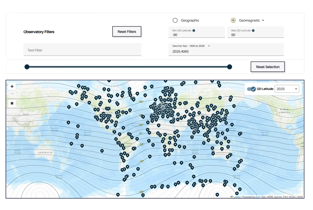
Upgraded web portal improves access to geomagnetism data
02/06/2025
BGS’s geomagnetism portal, which holds data for over 570 observatories across the world, has received a significant update.
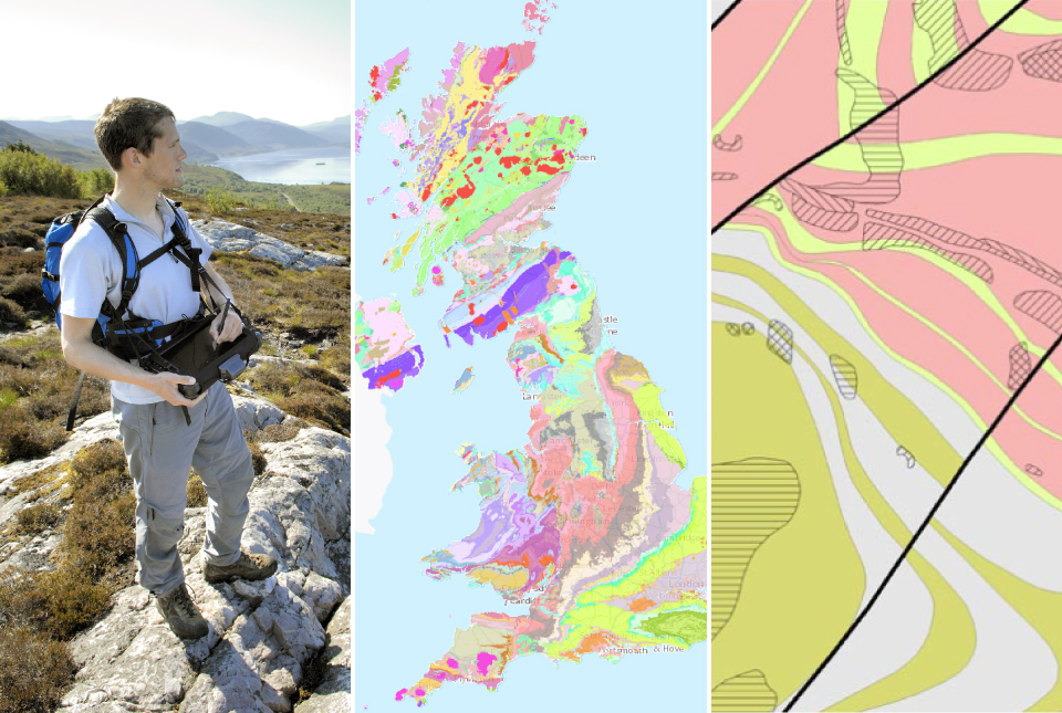
BGS digital geology maps: we want your feedback
29/05/2025
BGS is asking for user feedback on its digital geological map datasets to improve data content and delivery.

What is the impact of drought on temperate soils?
22/05/2025
A new BGS review pulls together key information on the impact of drought on temperate soils and the further research needed to fully understand it.

UK Minerals Yearbook 2024 released
21/05/2025
The annual publication provides essential information about the production, consumption and trade of UK minerals up to 2024.

BGS scientists join international expedition off the coast of New England
20/05/2025
Latest IODP research project investigates freshened water under the ocean floor.

New interactive map viewer reveals growing capacity and rare earth element content of UK wind farms
16/05/2025
BGS’s new tool highlights the development of wind energy installations over time, along with their magnet and rare earth content.

UKRI announce new Chair of the BGS Board
01/05/2025
Prof Paul Monks CB will step into the role later this year.

Latest mineral production statistics for 2019 to 2023 released
28/04/2025
More than 70 mineral commodities have been captured in the newly published volume of World Mineral Production.


