Forty years and counting: new topsoil data provides most extensive snapshot of environmental pollution effects
Scientists have uncovered clear signs of the impact environmental pollution is having across the country’s soil.
01/10/2024 By BGS Press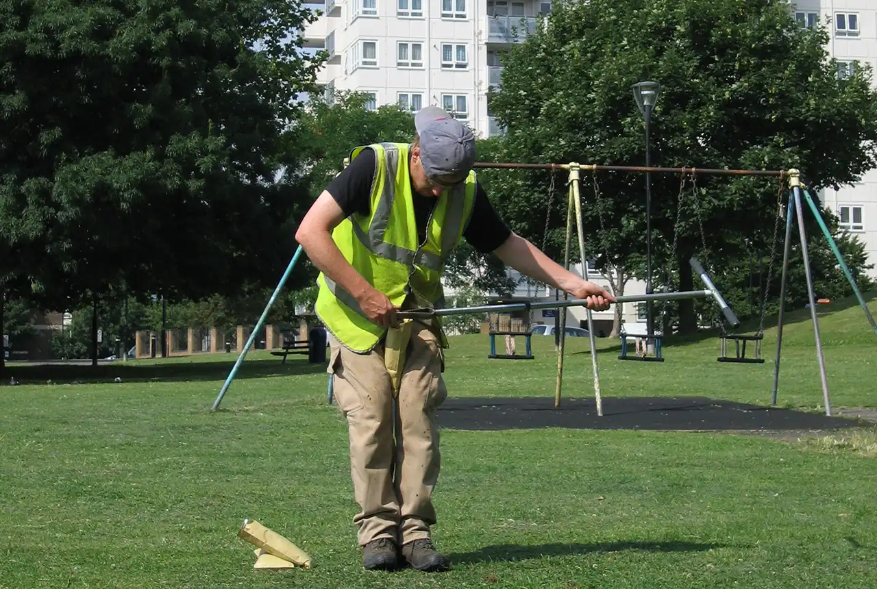

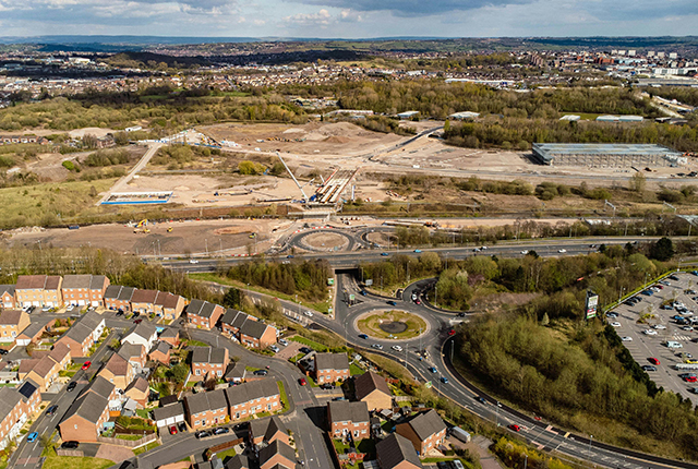
BGS scientists have discovered significantly elevated concentrations of several elements in the soil within many urban areas of the UK. The findings are based on the most extensive snapshot of the UK’s topsoil chemical data ever produced, which has now been made available to the public for free as part of a world-leading BGS project.
Over four decades, several hundred scientists collected around 58 000 topsoil samples from rural and urban areas across the country to create the most in-depth and exhaustive map of its kind available globally. The data revealed that several elements, including antimony, arsenic, cadmium, calcium, copper, lead, tin and zinc, are present in soils of many of the UK’s urban areas as a result of environmental pollution.
This is the first time that such a large-scale dataset has been used to evaluate environmental pollution in the UK. It provides a vital reference point for establishing the distribution of several potentially harmful elements (PHEs) in the urban environment. It will enhance the understanding of interactions between people and ecosystems and help to focus further research into the effects the soil chemical environment may have on human and ecosystem health.

This mapping project represents one of the most detailed datasets of its kind anywhere in the world. This data is useful for a multitude of purposes and will help to pave the way for enhanced decision making around the planning and development of the communities in which we live.
Through a greater understanding of the mix of geochemical elements, the UK can enhance its strategic land use planning. This will have a significant effect on decision making around land use, environmental hazards, food production, soil health assessments, identifying new opportunities for mineral exploration and continuing to identify and quantify human impacts on the environment.
Paul Everett, geochemical survey expert at BGS.
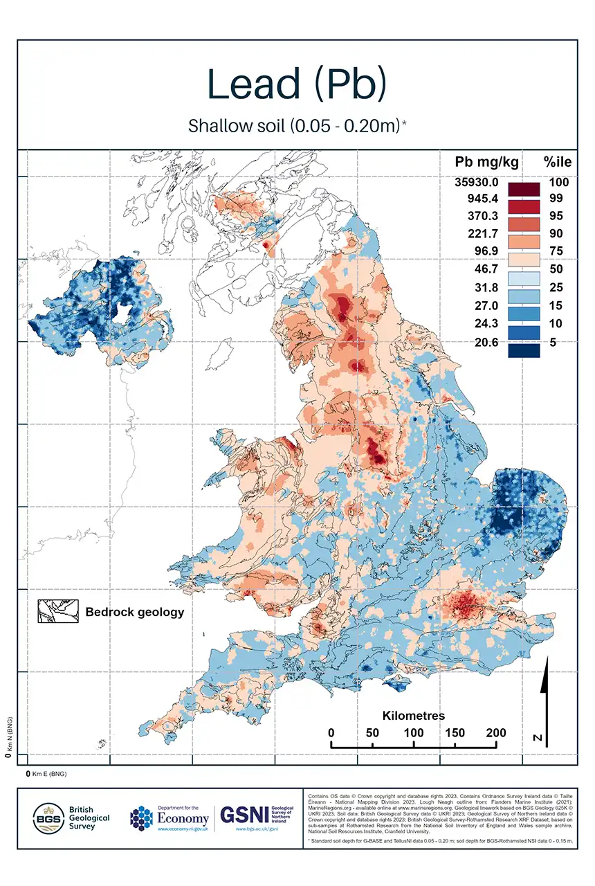
Geochemical maps produced by the study allow us to visualise the distribution of different elements in topsoil across the country. Users can apply a colour scheme of their choice by downloading the grids and images and using freely available graphics or geographical information system (GIS) software to re-stretch the colour ramps. BGS © UKRI.
The ability to pinpoint the distribution of 41 different chemical elements and identify areas where human activities have affected soil geochemistry gives us invaluable insights and forms a key baseline for researchers from a wide range of disciplines.
The data is available for all to view and download for free on the UK Soil Observatory (UKSO) web portal and will likely prove an essential resource for scientists, developers, local authorities and environmentalists for centuries to come.
About the project
The dataset is provided and to be used at national (1:2 500 000) to regional (1:1 000 000) scales; in the surveyed 25 urban centres, the dataset can be used at larger scales up to the resolution of the 500 × 500 m prediction grid cell; that is, a nominal scale of 1:500 000 with a zoom in up to 1:250 000 scale only.
The UK Compiled Topsoil dataset will provide a resource for research into the effects the soil chemical environment may have on people’s health, though this is a specialist area for health professionals and researchers that is not directly within the remit of the BGS. For answers to health-related questions, please contact your local authority or your local Health Protection Agency’s health protection unit.
For more information, please contact BGS press (bgspress@bgs.ac.uk) or call 07790 607 010.
Relative topics
Related news

PhD adventures in Copenhagen, Denmark: revealing past recovery processes of tropical forest systems through ancient environmental DNA
12/03/2026
PhD student Chris Bengt visited the University of Copenhagen to carry out very delicate extraction of aeDNA from lake-sediment cores, in the hopes of unlocking the secrets of past volcanic eruptions.

Suite of ten new soil reference materials released
02/01/2026
BGS has a longstanding track record of producing high-quality reference materials and has released ten new soil reference materials.
Esthwaite Water: applying novel approaches to understand lake-water nutrient pollution
19/09/2025
Andi Smith (BGS) and Savannah Worne (Loughborough University) embarked on fieldwork in the Lake District, applying a novel stable isotope method for tracing phosphorus sources.
PhD adventures in the Philippines: coring around Lake Bulusan
05/09/2025
Chris Bengt recounts his two-week field trip to Bulusan Volcano Natural Park in the Philippines to collect lake sediment cores, fresh soil and water samples.
New tool helps identify coal mine gas risk for housing developments in Scotland
05/08/2025
Scientists have co-developed a new tool for North Lanarkshire Council to help screen coal mine gas emissions prior to the development of new houses and buildings.
New journal article reveals snapshot of forever chemicals in shallow English soils
31/07/2025
Data on the presence of per- and polyfluoroalkyl substance concentrations in English soils has been released.

Modern pesticides found in UK rivers could pose risk to aquatic life
17/06/2025
New research shows that modern pesticides used in agriculture and veterinary medicines have been found for the first time in English rivers.
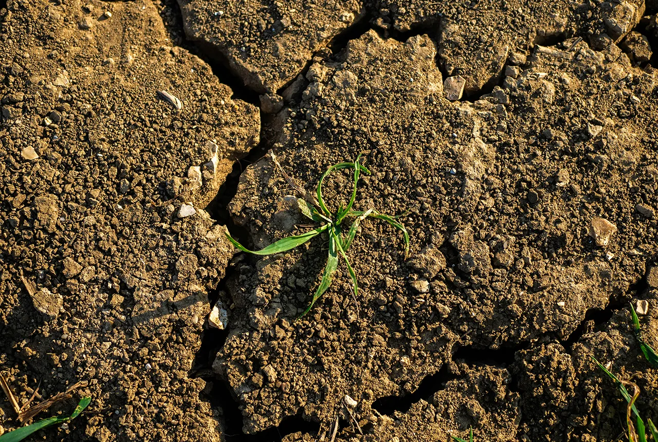
What is the impact of drought on temperate soils?
22/05/2025
A new BGS review pulls together key information on the impact of drought on temperate soils and the further research needed to fully understand it.
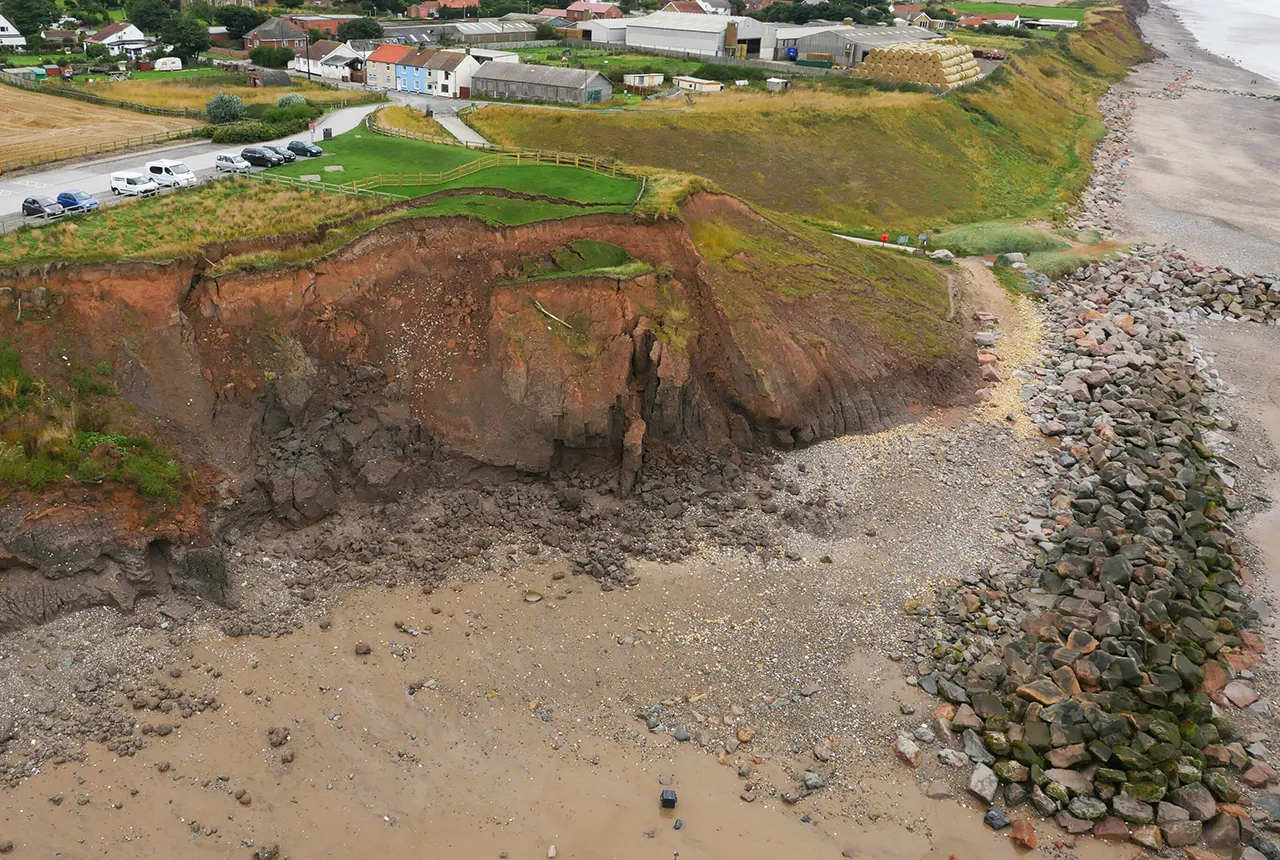
What does the next generation of coastal environmental models look like?
15/04/2025
A new tool is now available that has been designed to help coastal engineers and practitioners better manage the compound risk of coastal erosion and flooding.
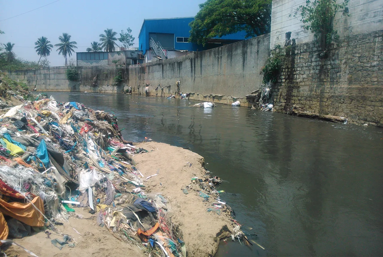
Presence of harmful chemicals found in water sources across southern Indian capital, study finds
10/03/2025
Research has revealed the urgent need for improved water quality in Bengaluru and other Indian cities.
Pioneering tool expanding to analyse agricultural pollution and support water-quality interventions
06/02/2025
An online tool that shows which roads are most likely to cause river pollution is being expanded to incorporate methods to assess pollution from agricultural areas.
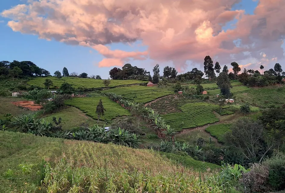
Dynamics of land-to-lake transfers in the Lake Victoria Basin
09/12/2024
In June 2024, a UK/Kenya research team shared research findings from a collaborative, four-year field and experimental programme within Kenya.