The Sherwood Sandstone Group, formerly known as the Bunter Sandstone, predominantly comprises sandstones and pebbly sandstones with lesser amounts of conglomerate and minor amounts of mudstone and siltstone. It was deposited between 230 and 260 million years ago in the late Permian and Triassic periods.
It is present in several different sedimentary basins in the UK, including the Carlisle, Cheshire and West Lancashire, Worcester, East Yorkshire and Lincolnshire and Wessex basins. The thickness of the deposits varies considerably, from as little as 90 m in south Nottinghamshire to over 600 m in Lancashire.
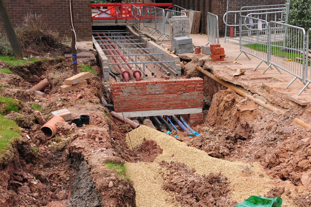
Variable weathering of outcrops near surface and deeper dissolution of the cement binding the sand-sized grains has occurred in a number of places. As a consequence, the Sherwood Sandstone may occur as a dense sand or extremely weak sandstone, often to depths of several tens of metres.
BGS is currently undertaking both macro- and microscale studies of the Sherwood Sandstone Group. Macroscale studies are using ground-based laser scanning technology (LiDAR) to characterise the discontinuities present in the overall rock mass. Microscale studies utilise state-of-the-art laboratory equipment to characterise the physical properties and mechanical behaviour of samples of Sherwood Sandstone obtained from outcrops and boreholes. This includes properties such as uniaxial compressive strength, Poisson’s ratio, Young’s Modulus and compression and shear wave velocity.
Relative topics
Latest content
Engineering geological studies of bedrock formations
Mapping the engineering geological characteristics, mineralogy, industrial applications, geological hazard potential, physical properties and behaviour of geological formations.
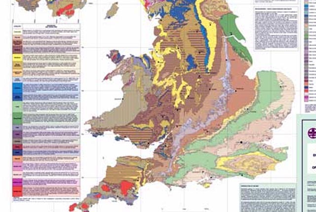
Engineering geology maps
BGS has produced 1:1 million-scale engineering geological maps of the UK, attributed with ‘engineering geological units’ in place of the traditional lithostratigraphical units.