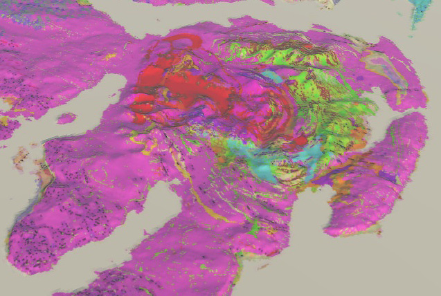
National geoscience
BGS Research
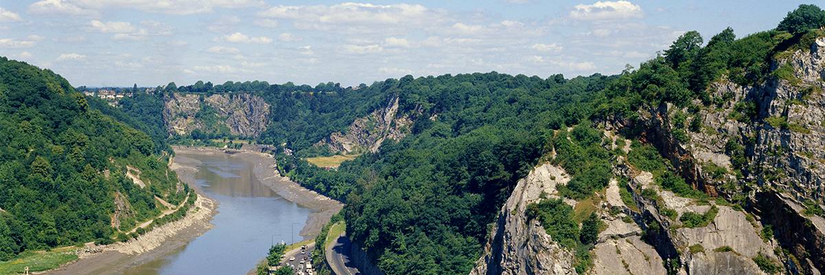
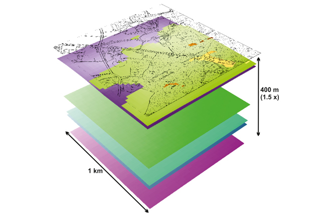
The BGS National Geoscience programme forms a core part of the BGS and underpins our role as the UK’s national geological survey. The programme is a forward-looking investment in UK geology that provides relevant, coherent and enriched geoscience knowledge for our stakeholders.
The programme improves the understanding of the geology of the UK and its continental margin; it will also provide enhanced interpretations of the UK’s sedimentary basins and basement in key areas for applied research and to support UK infrastructure.
The programme is creating new, quality-assured UK geological knowledge and data, both onshore and offshore, from mapping and modelling. We provide a range of geological services to external stakeholders, including commissioned applied research and geological characterisation.
Research areas
The programme has three strategic research areas alongside several other core activities.
We are improving the structural understanding of the UK and continental margin by acquiring a coherent understanding of the tectonic framework of the UK and regional structural domains.
This aims to develop a coherent, national-scale, stratigraphical model of the UK and its continental margin, providing new interpretations of the UK’s sedimentary basins and basement in key areas for applied research.
We are enhancing our understanding of the unconsolidated materials that make up the UK’s shallow geosphere, and investigating how changes in superficial deposits can be predicted.
Other core activities
- Enhancement of digital geological map data and provision of customer support to users of BGS Geology
- Ensuring that regional stakeholder priorities are understood and reflected in the programme through our network of chief geologists
- Leading continuous professional development of geological skills and knowledge at the BGS
Find out more about our research
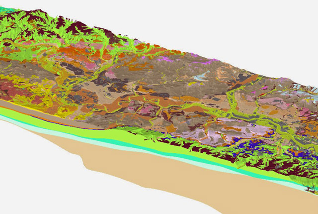
3D urban geology
Providing conceptual understanding of the subsurface below our cities to support planning and development, using 3D urban models.
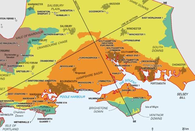
Regional geological summaries
Thirteen summaries of the on-shore regional geology for England, Wales and Northern Ireland.
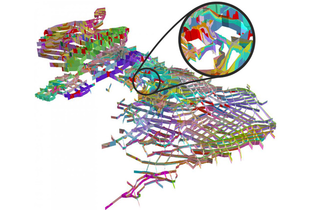
BGS LithoFrame
Data outputs from 3D geological framework models are available at three different scales for parts of the onshore area of Great Britain.
Our core challenge areas
Related news

Quaternary UK offshore data digitised for the first time
21/01/2026
The offshore wind industry will be boosted by the digitisation of a dataset showing the Quaternary geology at the seabed and the UK’s shallow subsurface.
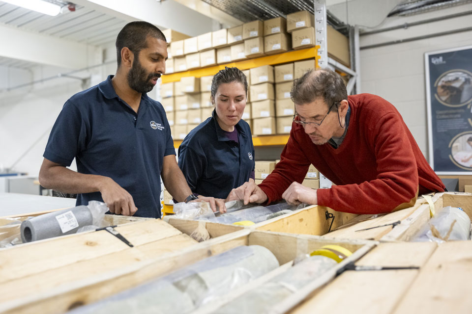
Scientists gain access to ‘once in a lifetime’ core from Great Glen Fault
01/12/2025
The geological core provides a cross-section through the UK’s largest fault zone, offering a rare insight into the formation of the Scottish Highlands.

How the geology on our doorstep can help inform offshore infrastructure design
19/11/2025
BGS is part of a new collaboration using onshore field work to contextualise offshore data and update baseline geological models which can inform the sustainable use of marine resources.
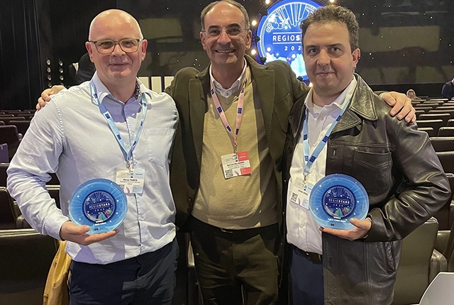
GSNI project wins multiple awards at RegioStars event
17/10/2025
The AGEO project enjoyed a double success at the RegioStars awards, hosted at the European Commission in Brussels.

New BGS GeoIndex viewer released for user testing
24/09/2025
The premium map-viewing application has been given a major upgrade and made available as a beta release.

New seabed sediment maps reveal what lies beneath the waves
03/09/2025
Marine ecosystem science and offshore infrastructure will be boosted by a new dataset showing sediment composition across the UK continental shelf.

IODP³-NSF Expedition 501: successful offshore operations launches onshore phase
06/08/2025
Scientists have managed to take water and sediment samples from beneath the ocean on the New England Shelf for the first time, with the intention of understanding this offshore aquifer system.
BGS digital geology maps: we want your feedback
29/05/2025
BGS is asking for user feedback on its digital geological map datasets to improve data content and delivery.
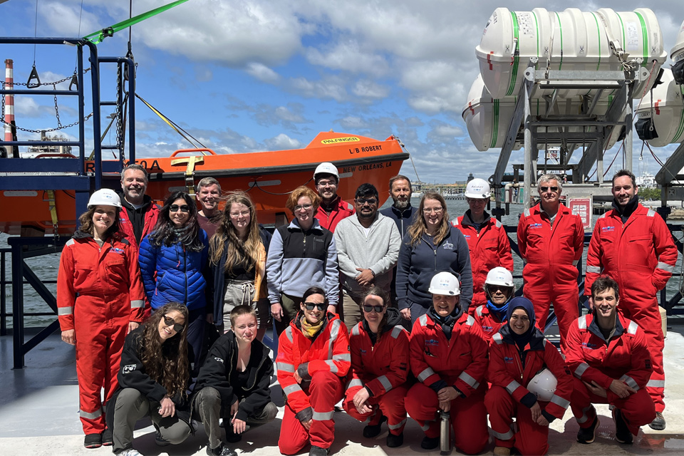
BGS scientists join international expedition off the coast of New England
20/05/2025
Latest IODP research project investigates freshened water under the ocean floor.

Isle of Arran announced as UNESCO Global Geopark
17/04/2025
The Isle of Arran has officially been named as the tenth UNESCO Global Geopark in the UK.
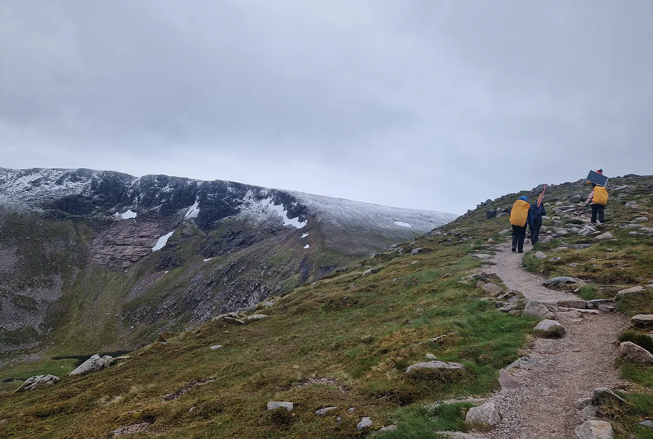
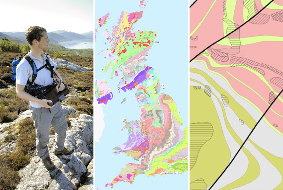
Exploring Scotland’s hidden energy potential with geology and geophysics: fieldwork in the Cairngorms
31/03/2025
BUFI student Innes Campbell discusses his research on Scotland’s radiothermal granites and how a fieldtrip with BGS helped further explore the subject.
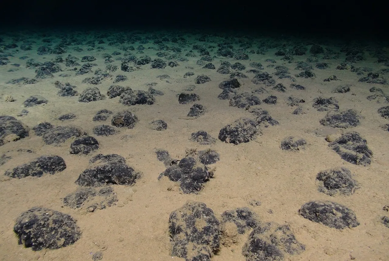
New study reveals long-term effects of deep-sea mining and first signs of biological recovery
27/03/2025
BGS geologists were involved in new study revealing the long-term effects of seabed mining tracks, 44 years after deep-sea trials in the Pacific Ocean.
You may also be interested in

International geoscience
BGS is active across the globe delivering institutional strengthening programmes and applied research projects across a wide variety of sectors.
Digital geoscience
The BGS is a data-rich organisation. Our data science and data infrastructure are fundamental to our future research and underpin our strategic challenges.